8 Custer Dr Ringwood, NJ 07456
Ringwood AreaEstimated Value: $678,234 - $788,000
About This Home
This home is located at 8 Custer Dr, Ringwood, NJ 07456 and is currently estimated at $735,559, approximately $295 per square foot. 8 Custer Dr is a home located in Passaic County with nearby schools including Peter Cooper Elementary School, Eleanor G. Hewitt Intermediate School, and Martin J. Ryerson Middle School.
Ownership History
We collect this data history from publicly available records. To have your information removed, we recommend requesting removal directly through your county’s website.
Purchase Details
Purchase Details
Home Values in the Area
Average Home Value in this Area
Purchase History
We collect this data history from publicly available records. To have your information removed, we recommend requesting removal directly through your county’s website.
| Date | Buyer | Sale Price | Title Company |
|---|---|---|---|
| $370,000 | -- | ||
| $500,000 | -- |
Tax History
We collect this data history from publicly available records. To have your information removed, we recommend requesting removal directly through your county’s website.
| Year | Tax Paid | Tax Assessment Tax Assessment Total Assessment is a certain percentage of the fair market value that is determined by local assessors to be the total taxable value of land and additions on the property. | Land | Improvement |
|---|---|---|---|---|
| 2026 | $17,849 | $419,100 | $184,500 | $234,600 |
| 2025 | $17,849 | $419,100 | $184,500 | $234,600 |
| 2024 | $16,869 | $419,100 | $184,500 | $234,600 |
| 2022 | $16,617 | $419,100 | $184,500 | $234,600 |
| 2021 | $12,251 | $419,100 | $184,500 | $234,600 |
| 2020 | $16,211 | $419,100 | $184,500 | $234,600 |
| 2019 | $15,951 | $419,100 | $184,500 | $234,600 |
| 2018 | $15,674 | $419,100 | $184,500 | $234,600 |
| 2017 | $15,318 | $419,100 | $184,500 | $234,600 |
| 2016 | $15,159 | $419,100 | $184,500 | $234,600 |
| 2015 | $14,736 | $419,100 | $184,500 | $234,600 |
| 2014 | $14,237 | $419,100 | $184,500 | $234,600 |
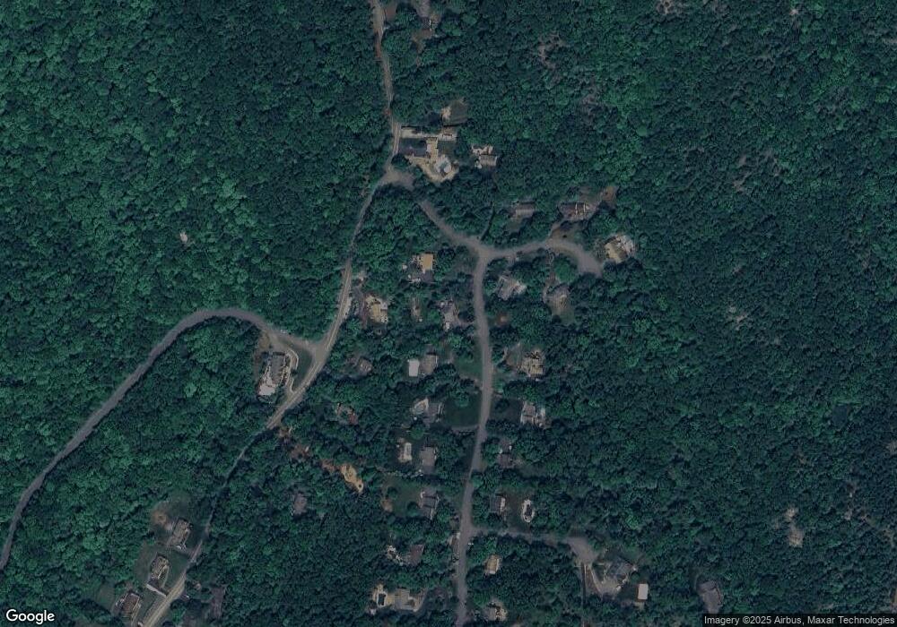
Map
- 121 Magee Rd
- 57 Magee Rd
- 168 Art St
- 461 W Brook Rd
- 461 Westbrook Rd
- 794 Westbrook Rd
- 15 Lake Riconda Dr
- 557 Burnt Meadow Rd
- 197 Snake Den Rd
- 219 Snake Den Rd
- 105 Ricker Dr
- 125 Kitchell Lake Dr
- 111 Kitchell Lake Dr
- 2 Red Mine Rd
- 64 Ricker Dr
- 121 Townsend Rd
- 611 Snake Den Rd
- 317 Morsetown Rd
- 84 Greenwood Lake Turnpike
- 406 Morsetown Rd
- 5 Custer Dr
- 14 Custer Dr
- 2 Custer Dr
- 220 Burnt Meadow Rd
- 15 Custer Dr
- 30 Little Big Horn
- 22 Custer Dr
- 204 Burnt Meadow Rd
- 21 Little Big Horn
- 19 Custer Dr
- 28 Custer Dr
- 234 Burnt Meadow Rd
- 27 Little Big Horn
- 15 Little Big Horn
- 25 Custer Dr
- 196 Burnt Meadow Rd
- 29 Little Big Horn
- 95 Crescent Dr
- 31 Custer Dr
- 236 Burnt Meadow Rd
Ask me questions while you tour the home.