8 Dwight Ln Greenwich, CT 06831
Back Country Greenwich NeighborhoodEstimated Value: $6,897,000 - $30,357,787
5
Beds
6
Baths
--
Sq Ft
2,074,327
Sq Ft Lot
About This Home
This home is located at 8 Dwight Ln, Greenwich, CT 06831 and is currently estimated at $18,627,394. 8 Dwight Ln is a home located in Fairfield County with nearby schools including Parkway School, Western Middle School, and Greenwich High School.
Ownership History
Date
Name
Owned For
Owner Type
Purchase Details
Closed on
Dec 9, 2022
Sold by
Steinman Diana Z
Bought by
Diana Stenman Ret
Current Estimated Value
Purchase Details
Closed on
Apr 3, 2000
Sold by
Lane Tr Robert M
Bought by
Steinman Steven I and Steinman Diana Z
Create a Home Valuation Report for This Property
The Home Valuation Report is an in-depth analysis detailing your home's value as well as a comparison with similar homes in the area
Home Values in the Area
Average Home Value in this Area
Purchase History
| Date | Buyer | Sale Price | Title Company |
|---|---|---|---|
| Diana Stenman Ret | -- | None Available | |
| Steinman Steven I | $12,000,000 | -- |
Source: Public Records
Mortgage History
| Date | Status | Borrower | Loan Amount |
|---|---|---|---|
| Previous Owner | Steinman Steven I | $18,000,000 |
Source: Public Records
Tax History
| Year | Tax Paid | Tax Assessment Tax Assessment Total Assessment is a certain percentage of the fair market value that is determined by local assessors to be the total taxable value of land and additions on the property. | Land | Improvement |
|---|---|---|---|---|
| 2025 | $302,400 | $25,116,280 | $1,408,120 | $23,708,160 |
| 2024 | $294,112 | $25,116,280 | $1,408,120 | $23,708,160 |
| 2023 | $286,074 | $25,116,280 | $1,408,120 | $23,708,160 |
| 2022 | $283,312 | $25,116,280 | $1,408,120 | $23,708,160 |
| 2021 | $256,633 | $22,142,610 | $1,398,810 | $20,743,800 |
| 2020 | $256,633 | $22,142,610 | $1,398,810 | $20,743,800 |
| 2019 | $256,455 | $21,956,760 | $1,398,810 | $20,557,950 |
| 2018 | $248,592 | $21,863,870 | $1,398,810 | $20,465,060 |
| 2017 | $248,041 | $21,815,430 | $1,398,810 | $20,416,620 |
| 2016 | $244,333 | $21,815,430 | $1,398,810 | $20,416,620 |
| 2015 | $262,107 | $23,257,080 | $3,929,730 | $19,327,350 |
| 2014 | $255,130 | $23,257,080 | $3,929,730 | $19,327,350 |
Source: Public Records
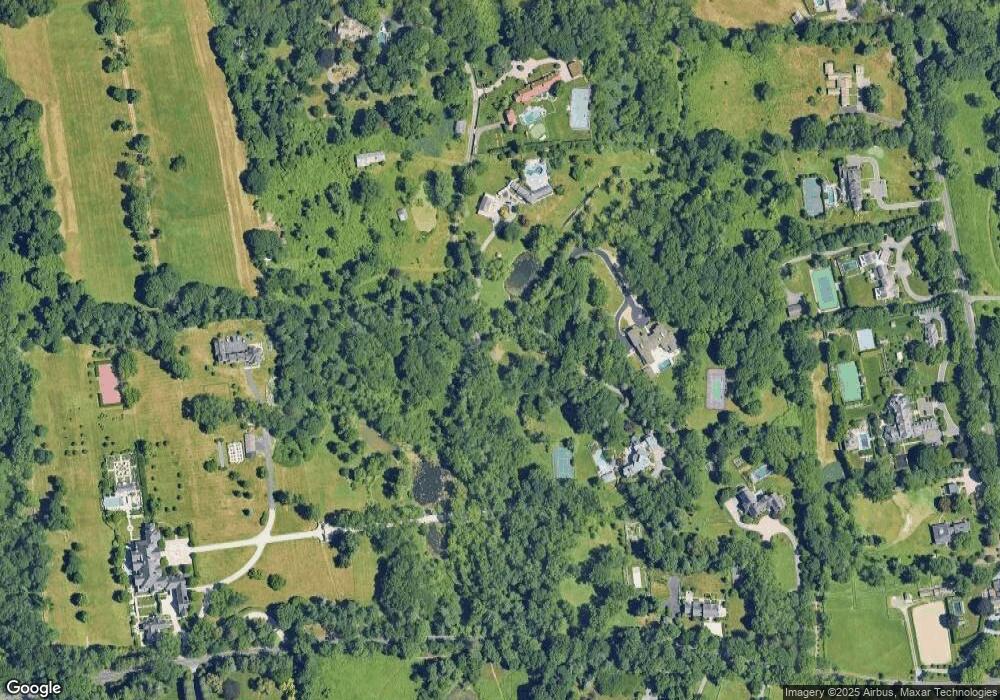
Map
Nearby Homes
- 212 Bedford Rd
- 38 Bedford Rd
- 65 John St
- 38 Partridge Hollow Rd
- 33 Cliffdale Rd
- 43 Sterling Rd
- 10 East Ln
- 1 Fieldstone Knoll Unit 47
- 3 Fieldstone Knoll Unit 46
- 9 Fieldstone Knoll Unit 43
- 8 Old Round Hill Ln
- 43 Fieldstone Knoll Unit 26
- 11 Fieldstone Knoll Unit 42
- 18 Fieldstone Knoll Unit 56
- 16 Fieldstone Knoll Unit 55
- 13 Fieldstone Knoll Unit 41
- 53 Fieldstone Knoll Unit 21
- 28 Fieldstone Knoll Unit 61
- 33 Fieldstone Knoll Unit 31
- 37 Fieldstone Knoll
- 200 John St
- 215 John St
- 121 Bedford Rd
- 10 Dwight Ln
- 0 Bedford Rd
- 141 Bedford Rd
- 99 Richmond Hill Rd
- 202 John St
- 18 Dwight Ln
- 18 Dwight Ln Unit Cottage
- 6 Dwight Ln
- 122 Bedford Rd
- 145 Bedford Rd
- 5 Dwight Ln
- 216 John St
- 97 Richmond Hill Rd
- 25 Cutler Rd
- 95 Richmond Hill Rd
- 1 Richmond Hill 7a2 Rd
- 179 Bedford Rd
Your Personal Tour Guide
Ask me questions while you tour the home.