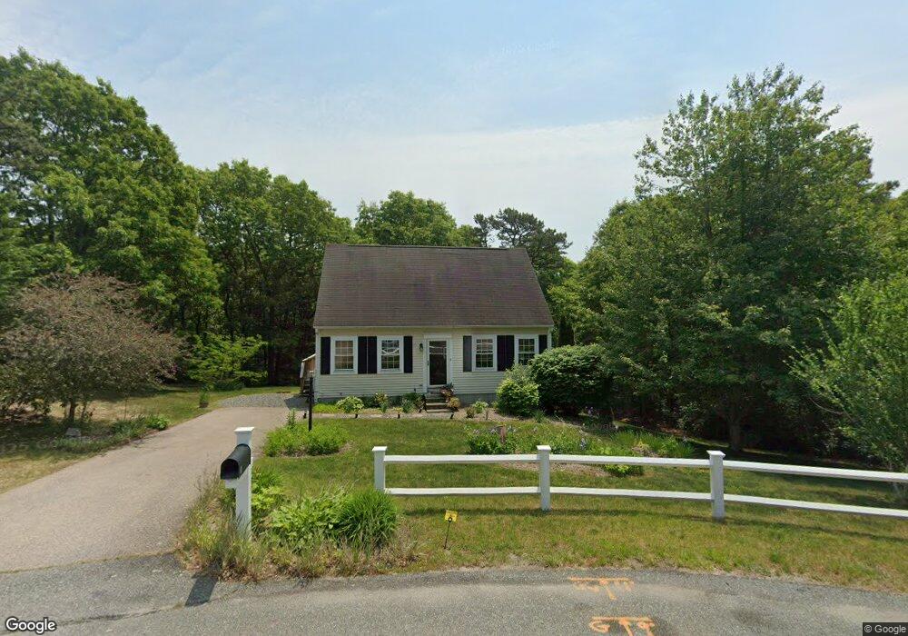
8 King Arthurs Way Bourne, MA 2532
Estimated Value: $502,000 - $580,000
4
Beds
2
Baths
1,344
Sq Ft
$403/Sq Ft
Est. Value
About This Home
This home is located at 8 King Arthurs Way, Bourne, MA 2532 and is currently estimated at $541,505, approximately $402 per square foot. 8 King Arthurs Way is a home located in Barnstable County with nearby schools including Bourne High School and Bridgeview Montessori School.
Ownership History
Date
Name
Owned For
Owner Type
Purchase Details
Closed on
Apr 22, 2011
Sold by
Macnayr Scott W and Macnayr Olga D
Bought by
Valenzano Helle
Current Estimated Value
Home Financials for this Owner
Home Financials are based on the most recent Mortgage that was taken out on this home.
Original Mortgage
$229,042
Outstanding Balance
$162,532
Interest Rate
5.5%
Mortgage Type
FHA
Estimated Equity
$378,973
Purchase Details
Closed on
Dec 2, 1996
Sold by
Weldon Park Rt and Mitchell Roderick A
Bought by
Macnayr Scott W and Macnayr Olga D
Create a Home Valuation Report for This Property
The Home Valuation Report is an in-depth analysis detailing your home's value as well as a comparison with similar homes in the area
Purchase History
| Date | Buyer | Sale Price | Title Company |
|---|---|---|---|
| Valenzano Helle | $235,000 | -- | |
| Valenzano Helle | $235,000 | -- | |
| Valenzano Helle | $235,000 | -- | |
| Macnayr Scott W | $111,895 | -- | |
| Macnayr Scott W | $111,895 | -- |
Source: Public Records
Mortgage History
| Date | Status | Borrower | Loan Amount |
|---|---|---|---|
| Open | Valenzano Helle | $229,042 | |
| Closed | Macnayr Scott W | $229,042 |
Source: Public Records
Tax History
| Year | Tax Paid | Tax Assessment Tax Assessment Total Assessment is a certain percentage of the fair market value that is determined by local assessors to be the total taxable value of land and additions on the property. | Land | Improvement |
|---|---|---|---|---|
| 2025 | $3,430 | $439,200 | $168,100 | $271,100 |
| 2024 | $3,354 | $418,200 | $160,100 | $258,100 |
| 2023 | $3,423 | $388,500 | $157,400 | $231,100 |
| 2022 | $3,278 | $324,900 | $139,300 | $185,600 |
| 2021 | $3,186 | $295,800 | $126,800 | $169,000 |
| 2020 | $3,018 | $281,000 | $125,600 | $155,400 |
| 2019 | $2,879 | $273,900 | $125,600 | $148,300 |
| 2018 | $2,653 | $251,700 | $119,600 | $132,100 |
| 2017 | $2,551 | $247,700 | $118,500 | $129,200 |
| 2016 | $2,485 | $244,600 | $118,500 | $126,100 |
| 2015 | $2,463 | $244,600 | $118,500 | $126,100 |
Source: Public Records
Map
Nearby Homes
- 0 State Rd
- 16 Ocean Pines Dr Unit B
- 8 Driftwood Ln
- 17 Andrew Rd
- 11 Village Green Dr Unit B
- 17 Ridgehill Ln
- 10 Tecumseh Rd
- 4 Carmela Ln
- 29 Eagle Hill Dr
- 150 Herring Pond Rd
- 133 Phillips Rd
- 64 Hunters Brook Rd
- 6 Aspen Rd
- 6 Aspen Rd
- 38 Siasconset Dr
- 7 Swamp Rd
- 18 Gibbs Rd
- 1 Luigi Ave
- 1 Luigi Ave
- 30 Pawtuxet Rd
- 8 King Arthurs Way
- 6 King Arthurs Way
- 9 King Arthurs Way
- 7 King Arthurs Way
- 5 King Arthurs Way
- 7 King Arthurs Way
- 5 King Arthurs Way
- 4 King Arthurs Way
- 3 King Arthurs Way
- 32 Chart Well Dr
- 2 King Arthurs Way
- 2 King Arthurs Way
- 34 Chart Well Dr
- 32 Chart Well Ave
- 34 Chartwell Dr
- 5 Camelot Ln
- 5 Camelot Ln
- 5 Camelot Ln
- 36 Chart Well Dr
- 3 Camelot Ln
Your Personal Tour Guide
Ask me questions while you tour the home.