Estimated Value: $420,000 - $696,000
3
Beds
1
Bath
1,248
Sq Ft
$486/Sq Ft
Est. Value
About This Home
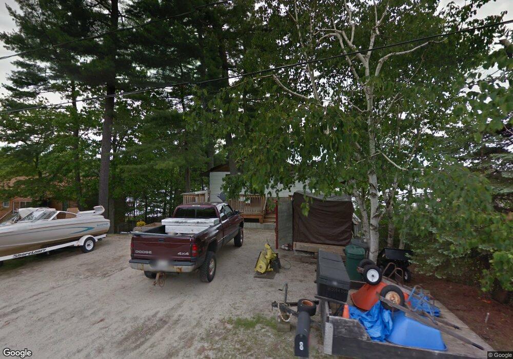
This home is located at 8 Krams Point Rd, Gray, ME 04039 and is currently estimated at $606,079, approximately $485 per square foot. 8 Krams Point Rd is a home with nearby schools including Gray-New Gloucester High School.
Ownership History
Date
Name
Owned For
Owner Type
Purchase Details
Closed on
Apr 29, 2016
Sold by
Sisbro Properties Llc
Bought by
Dibiase Demaree and Dibiase Scott
Current Estimated Value
Purchase Details
Closed on
May 12, 2009
Sold by
Nicholas Dibiase Age 30 T
Bought by
Sisbro Properties Llc
Home Financials for this Owner
Home Financials are based on the most recent Mortgage that was taken out on this home.
Original Mortgage
$100,000
Interest Rate
4.9%
Mortgage Type
Purchase Money Mortgage
Create a Home Valuation Report for This Property
The Home Valuation Report is an in-depth analysis detailing your home's value as well as a comparison with similar homes in the area
Home Values in the Area
Average Home Value in this Area
Purchase History
| Date | Buyer | Sale Price | Title Company |
|---|---|---|---|
| Dibiase Demaree | -- | -- | |
| Sisbro Properties Llc | -- | -- |
Source: Public Records
Mortgage History
| Date | Status | Borrower | Loan Amount |
|---|---|---|---|
| Previous Owner | Sisbro Properties Llc | $100,000 |
Source: Public Records
Tax History
| Year | Tax Paid | Tax Assessment Tax Assessment Total Assessment is a certain percentage of the fair market value that is determined by local assessors to be the total taxable value of land and additions on the property. | Land | Improvement |
|---|---|---|---|---|
| 2025 | $5,851 | $604,400 | $407,500 | $196,900 |
| 2024 | $5,863 | $604,400 | $407,500 | $196,900 |
| 2023 | $5,383 | $354,600 | $203,700 | $150,900 |
| 2022 | $4,947 | $354,600 | $203,700 | $150,900 |
| 2021 | $4,830 | $330,600 | $203,700 | $126,900 |
| 2020 | $4,876 | $330,600 | $203,700 | $126,900 |
| 2019 | $4,876 | $330,600 | $203,700 | $126,900 |
| 2018 | $4,628 | $330,600 | $203,700 | $126,900 |
| 2017 | $4,059 | $224,900 | $138,700 | $86,200 |
| 2016 | $4,116 | $224,900 | $138,700 | $86,200 |
| 2015 | $4,093 | $224,900 | $138,700 | $86,200 |
| 2014 | $4,093 | $224,900 | $138,700 | $86,200 |
| 2012 | $3,564 | $224,885 | $138,650 | $86,235 |
Source: Public Records
Map
Nearby Homes
- 2 Gore Rd
- 150 Birchwood Rd
- M011-006 Westwood Rd
- 17 Northern Oaks Dr
- 15 Presidential View
- 38 Freds Way
- 4 Chelsey Ln
- 224 Shaker Rd
- 37 Main St
- 39 Pipeline Rd
- 93 Woodland Rd
- 16 Peterson Rd
- M20/21/311 Shaw Brook Ln
- lot #8 Bedrock Terrace
- 0 Gore Unit 1655428
- 1112 Roosevelt Trail Unit 8
- 99 Enterprise Dr
- 1042 Roosevelt Trail
- 34 Smith Rd
- Lot 21-29 Weymouth Rd
- 10 Krames Point Rd
- 6 Krams Point Rd
- 12 Krams Point Rd
- 4 Krams Point Rd
- 5 Krames Point Rd
- 5 Krams Point Rd
- 18 Krams Point Rd
- 20 Krams Point Rd
- 2 Krams Point Rd
- 14 Krams Point Rd
- 22 Krams Point Rd
- 34 Krams Point Rd
- 24 Krams Point Rd
- 24 Krams Point Rd
- 26 Krams Point Rd
- 28 Krams Point Rd
- 32 Krams Point Rd
- 20 Aquila Rd
- 22 Aquila Rd
- 30 Krams Point Rd
Your Personal Tour Guide
Ask me questions while you tour the home.