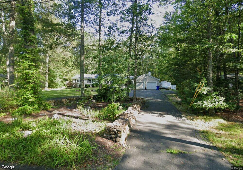
8 Lostbrook Rd West Simsbury, CT 06092
Estimated Value: $454,578 - $557,000
3
Beds
3
Baths
1,933
Sq Ft
$254/Sq Ft
Est. Value
About This Home
This home is located at 8 Lostbrook Rd, West Simsbury, CT 06092 and is currently estimated at $490,395, approximately $253 per square foot. 8 Lostbrook Rd is a home located in Hartford County with nearby schools including Tootin' Hills School, Henry James Memorial School, and Simsbury High School.
Ownership History
Date
Name
Owned For
Owner Type
Purchase Details
Closed on
May 3, 1999
Sold by
Selger Steven H and Selger Elaine E
Bought by
Aldrich Brenden M and Yirga Lynn C
Current Estimated Value
Create a Home Valuation Report for This Property
The Home Valuation Report is an in-depth analysis detailing your home's value as well as a comparison with similar homes in the area
Home Values in the Area
Average Home Value in this Area
Purchase History
| Date | Buyer | Sale Price | Title Company |
|---|---|---|---|
| Aldrich Brenden M | $133,000 | -- |
Source: Public Records
Mortgage History
| Date | Status | Borrower | Loan Amount |
|---|---|---|---|
| Open | Aldrich Brenden M | $228,000 | |
| Closed | Aldrich Brenden M | $253,000 | |
| Closed | Aldrich Brenden M | $253,000 | |
| Closed | Aldrich Brenden M | $246,870 |
Source: Public Records
Tax History
| Year | Tax Paid | Tax Assessment Tax Assessment Total Assessment is a certain percentage of the fair market value that is determined by local assessors to be the total taxable value of land and additions on the property. | Land | Improvement |
|---|---|---|---|---|
| 2025 | $8,164 | $238,980 | $73,220 | $165,760 |
| 2024 | $7,960 | $238,980 | $73,220 | $165,760 |
| 2023 | $7,604 | $238,980 | $73,220 | $165,760 |
| 2022 | $6,797 | $175,950 | $76,850 | $99,100 |
| 2021 | $6,797 | $175,950 | $76,850 | $99,100 |
| 2020 | $6,526 | $175,950 | $76,850 | $99,100 |
| 2019 | $6,566 | $175,950 | $76,850 | $99,100 |
| 2018 | $6,614 | $175,950 | $76,850 | $99,100 |
| 2017 | $6,613 | $170,610 | $76,850 | $93,760 |
| 2016 | $6,333 | $170,610 | $76,850 | $93,760 |
| 2015 | $6,333 | $170,610 | $76,850 | $93,760 |
| 2014 | $6,336 | $170,610 | $76,850 | $93,760 |
Source: Public Records
Map
Nearby Homes
- 6 Lostbrook Rd
- 9 Bridlepath Rd
- 33 Chestnut Hill Rd
- 15 Red Fox Run
- 35 Shingle Mill Rd
- 129 N Mountain Rd
- 52 Shingle Mill Rd
- 86 Washburn Rd
- 2 Murphys Turn
- 18 Meadowlark Rd
- 85 Lawton Rd
- 33 Westwood Dr
- 24 Ichabod Rd
- 9 Michael Dr
- 28 Park Rd
- 73 High Valley Dr
- 152 E Hill Rd
- 22 Bel Aire Ln
- 49 Applegate Ln Unit 49
- 64 Pine Glen Rd
- 10 Lostbrook Rd
- 12 Lostbrook Rd
- 7 Lostbrook Rd
- 11 Lostbrook Rd
- 5 Lostbrook Rd
- 168 W Mountain Rd
- 170 W Mountain Rd
- 14 Lostbrook Rd
- 2 Glenbrook Rd
- 164 W Mountain Rd
- 5 Glenbrook Dr
- 172 W Mountain Rd
- 16 Lostbrook Rd
- 173 W Mountain Rd
- 6 Glenbrook Dr
- 7 Glenbrook Dr
- 6 Glenbrook Dr
- 15 Lostbrook Rd
- 176 W Mountain Rd
- 18 Lostbrook Rd
Your Personal Tour Guide
Ask me questions while you tour the home.