Estimated Value: $599,000 - $1,277,000
2
Beds
2
Baths
1,108
Sq Ft
$708/Sq Ft
Est. Value
About This Home
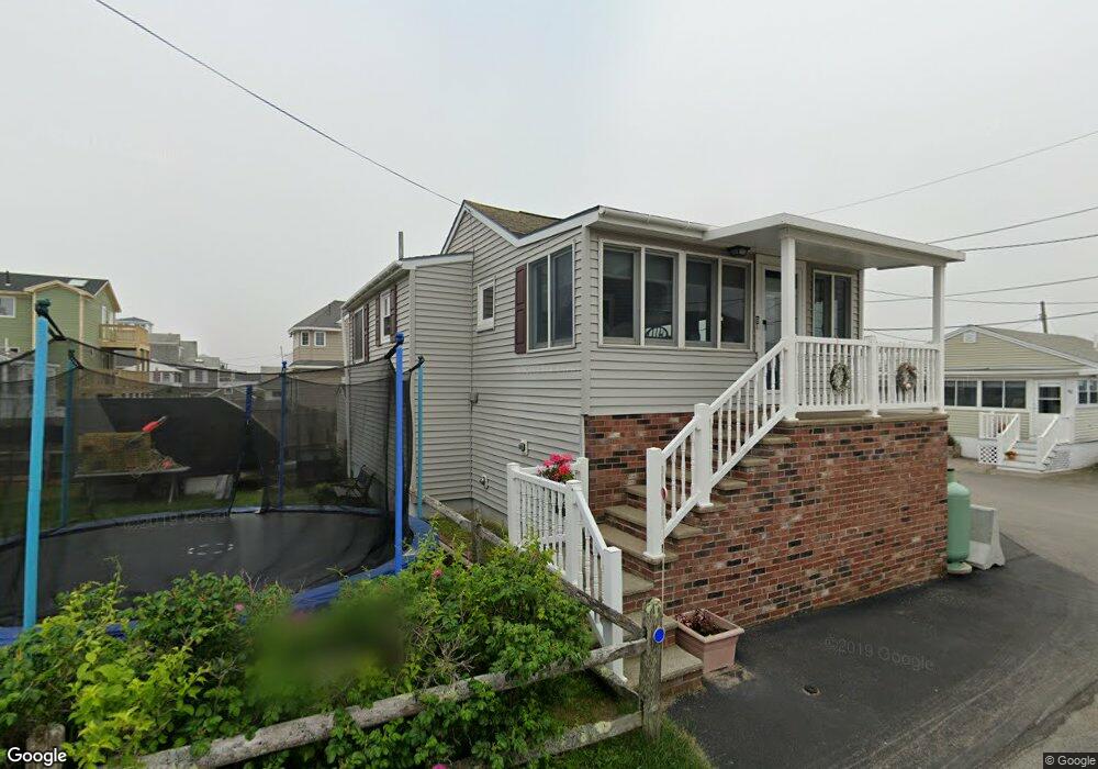
This home is located at 8 Marshview St, Wells, ME 04090 and is currently estimated at $784,709, approximately $708 per square foot. 8 Marshview St is a home located in York County with nearby schools including Wells Junior High School, Wells Elementary School, and Wells High School.
Ownership History
Date
Name
Owned For
Owner Type
Purchase Details
Closed on
Mar 15, 2024
Sold by
Carol M Delfino Ret and Delfino
Bought by
Sheehan Ronald A
Current Estimated Value
Home Financials for this Owner
Home Financials are based on the most recent Mortgage that was taken out on this home.
Original Mortgage
$423,000
Outstanding Balance
$413,883
Interest Rate
6.63%
Mortgage Type
Purchase Money Mortgage
Estimated Equity
$370,826
Create a Home Valuation Report for This Property
The Home Valuation Report is an in-depth analysis detailing your home's value as well as a comparison with similar homes in the area
Home Values in the Area
Average Home Value in this Area
Purchase History
| Date | Buyer | Sale Price | Title Company |
|---|---|---|---|
| Sheehan Ronald A | $470,000 | None Available | |
| Sheehan Ronald A | $470,000 | None Available |
Source: Public Records
Mortgage History
| Date | Status | Borrower | Loan Amount |
|---|---|---|---|
| Open | Sheehan Ronald A | $423,000 | |
| Closed | Sheehan Ronald A | $423,000 |
Source: Public Records
Tax History
| Year | Tax Paid | Tax Assessment Tax Assessment Total Assessment is a certain percentage of the fair market value that is determined by local assessors to be the total taxable value of land and additions on the property. | Land | Improvement |
|---|---|---|---|---|
| 2025 | $3,049 | $471,940 | $266,270 | $205,670 |
| 2024 | $2,869 | $471,940 | $266,270 | $205,670 |
| 2023 | $2,755 | $462,170 | $266,270 | $195,900 |
| 2022 | $2,801 | $267,740 | $173,550 | $94,190 |
| 2021 | $2,817 | $267,740 | $173,550 | $94,190 |
| 2020 | $2,806 | $267,740 | $173,550 | $94,190 |
| 2019 | $2,772 | $266,040 | $173,550 | $92,490 |
| 2018 | $2,668 | $266,040 | $173,550 | $92,490 |
| 2017 | $2,644 | $260,270 | $173,550 | $86,720 |
| 2016 | $2,618 | $260,270 | $173,550 | $86,720 |
| 2015 | $2,590 | $260,270 | $173,550 | $86,720 |
| 2013 | $2,374 | $260,270 | $173,550 | $86,720 |
Source: Public Records
Map
Nearby Homes
- 225 Atlantic Ave
- 0 Eastern Ave
- 9 Robert Ln
- 446 Atlantic Ave
- 465 Atlantic Ave
- 500 Atlantic Ave Unit 2
- 4 Tidal Ct
- 99 Harbor Rd Unit Lot 52
- 99 Harbor Rd Unit Lot 54
- 60 Mile Rd Unit 41
- 1351 Post Rd Unit 49
- 1373 Post Rd Unit 12E
- 1373 Post Rd Unit 10A
- 1373 Post Rd Unit 2C
- 1373 Post Rd Unit 12B
- 1373 Post Rd Unit 6B
- 1373 Post Rd Unit 1F
- 273 Webhannet Dr Unit 9
- 1413 Post Rd Unit 58
- 70 Calla Lily Ln
- 226 Atlantic Ave
- 222 Atlantic Ave
- 227 Atlantic Ave
- 223 Atlantic Ave
- 231 Atlantic Ave
- 5 Marshview St
- 7 Marshview St
- 218 Atlantic Ave
- 232 Atlantic Ave
- 216 Atlantic Ave
- 234 Atlantic Ave
- 39 Fifth Ave
- 73-81 Burnt Landing Rd
- 48 Fifth Ave
- 44 Fifth Ave
- 3 Western Ave
- 221 Atlantic Ave
- 219 Atlantic Ave
- Lot #1 Western
- 217 Atlantic Ave
Your Personal Tour Guide
Ask me questions while you tour the home.