8 S Westfield Rd Howell, NJ 07731
Salem Hill NeighborhoodEstimated Value: $707,000 - $764,283
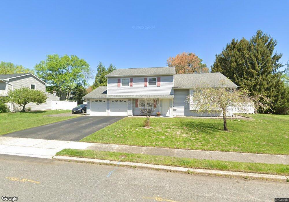
About This Home
This home is located at 8 S Westfield Rd, Howell, NJ 07731 and is currently estimated at $744,321, approximately $369 per square foot. 8 S Westfield Rd is a home located in Monmouth County with nearby schools including Taunton School, Aldrich School, and Howell Township Middle School South.
Ownership History
We collect this data history from publicly available records. To have your information removed, we recommend requesting removal directly through your county’s website.
Purchase Details
Home Financials for this Owner
Home Financials are based on the most recent Mortgage that was taken out on this home.Purchase Details
Home Financials for this Owner
Home Financials are based on the most recent Mortgage that was taken out on this home.Home Values in the Area
Average Home Value in this Area
Purchase History
We collect this data history from publicly available records. To have your information removed, we recommend requesting removal directly through your county’s website.
| Date | Buyer | Sale Price | Title Company |
|---|---|---|---|
| -- | Chicago Title Insurance Co | ||
| $384,250 | -- |
Mortgage History
We collect this data history from publicly available records. To have your information removed, we recommend requesting removal directly through your county’s website.
| Date | Status | Borrower | Loan Amount |
|---|---|---|---|
| Open | $223,000 | ||
| Closed | $230,000 |
Tax History
We collect this data history from publicly available records. To have your information removed, we recommend requesting removal directly through your county’s website.
| Year | Tax Paid | Tax Assessment Tax Assessment Total Assessment is a certain percentage of the fair market value that is determined by local assessors to be the total taxable value of land and additions on the property. | Land | Improvement |
|---|---|---|---|---|
| 2025 | $10,752 | $654,700 | $383,700 | $271,000 |
| 2024 | $9,742 | $604,700 | $338,700 | $266,000 |
| 2023 | $9,742 | $523,500 | $263,700 | $259,800 |
| 2022 | $8,580 | $407,500 | $160,200 | $247,300 |
| 2021 | $8,580 | $373,700 | $153,700 | $220,000 |
| 2020 | $8,094 | $348,600 | $146,100 | $202,500 |
| 2019 | $8,227 | $347,700 | $148,700 | $199,000 |
| 2018 | $7,822 | $328,500 | $138,700 | $189,800 |
| 2017 | $7,963 | $330,700 | $146,700 | $184,000 |
| 2016 | $7,493 | $308,100 | $128,700 | $179,400 |
| 2015 | $7,381 | $300,400 | $125,700 | $174,700 |
| 2014 | $7,340 | $277,200 | $138,300 | $138,900 |
Map
- 58 Old Bridge Dr
- 5 Berkshire Dr
- 4 Winsted Dr
- 12 Angel Ct
- 14 Jennifer Dr
- 7 Stowe Ln
- 9 Jennifer Dr
- 6 Pittsfield Rd
- 43 S Westfield Rd
- 140 Locust Ave
- 1070 Maxim Southard Rd
- 14 Pepperridge Rd
- 5 Sugarbush Rd
- 8 Haystack Ct
- 87 Newbury Rd
- 19 Bertan Ave
- 251 Locust Ave
- 1 Max Place Unit 1
- 58 Newbury Rd
- 12 Pheasant Place
- 10 S Westfield Rd
- 6 S Westfield Rd
- 3 N Westfield Rd
- 12 S Westfield Rd
- 65 Old Bridge Dr
- 7 N Westfield Rd
- 63 Old Bridge Dr
- 9 S Westfield Rd
- 7 S Westfield Rd
- 5 S Westfield Rd
- 61 Old Bridge Dr
- 15 S Westfield Rd
- 11 S Westfield Rd
- 14 S Westfield Rd
- 67 Old Bridge Dr
- 9 N Westfield Rd
- 66 Old Bridge Dr
- 3 S Westfield Rd
- 64 Old Bridge Dr
- 4 N Westfield Rd
Ask me questions while you tour the home.