8 Storey Dr Lincoln, MA 01773
Estimated Value: $1,567,000 - $1,779,000
About This Home
This home is located at 8 Storey Dr, Lincoln, MA 01773 and is currently estimated at $1,656,643, approximately $726 per square foot. 8 Storey Dr is a home located in Middlesex County with nearby schools including Lincoln-Sudbury Regional High School and Our Lady's Academy.
Ownership History
We collect this data history from publicly available records. To have your information removed, we recommend requesting removal directly through your county’s website.
Purchase Details
Home Values in the Area
Average Home Value in this Area
Purchase History
We collect this data history from publicly available records. To have your information removed, we recommend requesting removal directly through your county’s website.
| Date | Buyer | Sale Price | Title Company |
|---|---|---|---|
| $105,000 | -- |
Mortgage History
We collect this data history from publicly available records. To have your information removed, we recommend requesting removal directly through your county’s website.
| Date | Status | Borrower | Loan Amount |
|---|---|---|---|
| Open | $62,300 |
Tax History
We collect this data history from publicly available records. To have your information removed, we recommend requesting removal directly through your county’s website.
| Year | Tax Paid | Tax Assessment Tax Assessment Total Assessment is a certain percentage of the fair market value that is determined by local assessors to be the total taxable value of land and additions on the property. | Land | Improvement |
|---|---|---|---|---|
| 2025 | $192 | $1,500,200 | $786,300 | $713,900 |
| 2024 | $18,741 | $1,453,900 | $769,800 | $684,100 |
| 2023 | $18,168 | $1,305,200 | $625,800 | $679,400 |
| 2022 | $17,634 | $1,181,100 | $579,600 | $601,500 |
| 2021 | $17,434 | $1,123,300 | $542,100 | $581,200 |
| 2020 | $17,489 | $1,138,600 | $562,200 | $576,400 |
| 2019 | $15,589 | $1,111,100 | $547,500 | $563,600 |
| 2018 | $15,111 | $1,111,100 | $547,500 | $563,600 |
| 2017 | $14,612 | $1,066,600 | $542,100 | $524,500 |
| 2016 | $14,492 | $1,035,900 | $526,700 | $509,200 |
| 2015 | $14,044 | $992,500 | $487,900 | $504,600 |
| 2014 | $13,349 | $926,400 | $455,000 | $471,400 |
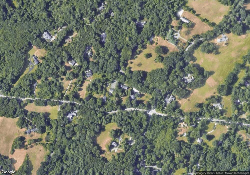
Map
- 61 Page Rd
- 141 Trapelo Rd
- 96 Lexington Rd
- 23 Bedford Rd
- 84 Davison Dr
- 22 Lincoln Rd
- 11 Juniper Ridge Rd
- 12 Mountain Rd
- 17 Morningside Ln
- 184 Bedford Rd
- 190 Bedford Rd
- 6 Brooks Hill Rd
- 23 Stony Brook Rd
- 416 Conant Rd
- 44 Baker Bridge Rd
- 197 Smith St
- 16 Old Cambridge Turnpike
- 22 Old Cambridge Turnpike
- 15 Myles Standish Rd
- 1 Clifford Ln
- 4 Storey Dr
- 80 Trapelo Rd
- Lot 6 Storey Dr
- 0 Page Rd
- 0 Lot 4 Page Rd Unit 30529355
- 76 Trapelo Rd
- 5 Page Rd
- 12 Storey Dr
- 18 Storey Dr
- 70 Trapelo Rd
- 50 Old Winter St
- 69 Silver Hill Rd
- 9 Page Rd
- 18 Page Rd
- 18 Page Rd Unit 18
- 18 Page Rd Unit Carge House
- 99 Trapelo Rd
- 21 Storey Dr
- 26 Storey Dr
- 101 Trapelo Rd
Ask me questions while you tour the home.