80 Bray St Gloucester, MA 01930
West Gloucester NeighborhoodEstimated Value: $627,000 - $838,000
About This Home
This home is located at 80 Bray St, Gloucester, MA 01930 and is currently estimated at $709,084, approximately $562 per square foot. 80 Bray St is a home located in Essex County with nearby schools including West Parish, Ralph B O'maley Middle School, and Gloucester High School.
Ownership History
We collect this data history from publicly available records. To have your information removed, we recommend requesting removal directly through your county’s website.
Purchase Details
Purchase Details
Home Financials for this Owner
Home Financials are based on the most recent Mortgage that was taken out on this home.Home Values in the Area
Average Home Value in this Area
Purchase History
We collect this data history from publicly available records. To have your information removed, we recommend requesting removal directly through your county’s website.
| Date | Buyer | Sale Price | Title Company |
|---|---|---|---|
| -- | -- | ||
| -- | -- |
Mortgage History
We collect this data history from publicly available records. To have your information removed, we recommend requesting removal directly through your county’s website.
| Date | Status | Borrower | Loan Amount |
|---|---|---|---|
| Previous Owner | $75,000 | ||
| Previous Owner | $69,000 | ||
| Previous Owner | $67,000 |
Tax History
We collect this data history from publicly available records. To have your information removed, we recommend requesting removal directly through your county’s website.
| Year | Tax Paid | Tax Assessment Tax Assessment Total Assessment is a certain percentage of the fair market value that is determined by local assessors to be the total taxable value of land and additions on the property. | Land | Improvement |
|---|---|---|---|---|
| 2025 | $5,712 | $587,700 | $238,700 | $349,000 |
| 2024 | $5,596 | $575,100 | $227,400 | $347,700 |
| 2023 | $5,617 | $530,400 | $202,900 | $327,500 |
| 2022 | $5,328 | $454,200 | $176,500 | $277,700 |
| 2021 | $5,353 | $430,300 | $160,700 | $269,600 |
| 2020 | $5,057 | $410,100 | $160,700 | $249,400 |
| 2019 | $5,016 | $395,300 | $160,700 | $234,600 |
| 2018 | $4,963 | $383,800 | $160,700 | $223,100 |
| 2017 | $4,835 | $366,600 | $153,000 | $213,600 |
| 2016 | $4,691 | $344,700 | $159,700 | $185,000 |
| 2015 | $4,631 | $339,300 | $159,700 | $179,600 |
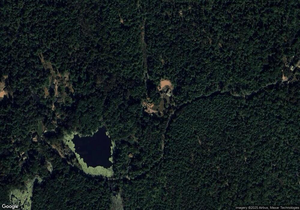
Map
- 4 Great Ledge Ln
- 5R Brooks Rd
- 45 Lufkin Point Rd
- 15 Andrews Ct
- 17 Andrews Ct
- 8 Schooner Ridge
- 13 Whipple Woods Rd
- 368 Essex Ave
- 5 Lots Andrews Ct + Whipple Woods Rd
- 6 Kent Rd
- 167 Atlantic St
- 178 Atlantic St
- 79 Woodman St
- 19 2 Penny Ln
- 43 Woodward Ave
- 5 Samoset Rd Unit B
- 10 Riverview Way Unit A
- 16 Tidal Cove Way
- 51 Lebaron Rd
- 226 Atlantic St
Ask me questions while you tour the home.