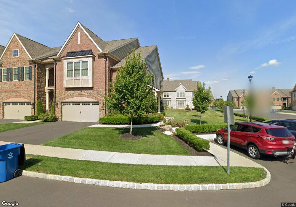
80 David Dr Newtown, PA 18940
Estimated Value: $952,000 - $1,069,000
3
Beds
2
Baths
3,100
Sq Ft
$329/Sq Ft
Est. Value
About This Home
This home is located at 80 David Dr, Newtown, PA 18940 and is currently estimated at $1,018,562, approximately $328 per square foot. 80 David Dr is a home with nearby schools including Goodnoe Elementary School, Newtown Middle School, and Council Rock High School North.
Ownership History
Date
Name
Owned For
Owner Type
Purchase Details
Closed on
May 14, 2021
Sold by
Mancini Joseph P and Mancini Gina M
Bought by
Mancini Gina M
Current Estimated Value
Purchase Details
Closed on
Sep 27, 2016
Sold by
Newtown Yarddley Investment Lp
Bought by
Mancini Joseph P and Mancini Gina
Home Financials for this Owner
Home Financials are based on the most recent Mortgage that was taken out on this home.
Original Mortgage
$300,000
Interest Rate
3.43%
Mortgage Type
Purchase Money Mortgage
Create a Home Valuation Report for This Property
The Home Valuation Report is an in-depth analysis detailing your home's value as well as a comparison with similar homes in the area
Home Values in the Area
Average Home Value in this Area
Purchase History
| Date | Buyer | Sale Price | Title Company |
|---|---|---|---|
| Mancini Gina M | -- | First American Title | |
| Mancini Joseph P | $609,468 | Land Services Usa Inc Southa |
Source: Public Records
Mortgage History
| Date | Status | Borrower | Loan Amount |
|---|---|---|---|
| Previous Owner | Mancini Joseph P | $300,000 |
Source: Public Records
Tax History
| Year | Tax Paid | Tax Assessment Tax Assessment Total Assessment is a certain percentage of the fair market value that is determined by local assessors to be the total taxable value of land and additions on the property. | Land | Improvement |
|---|---|---|---|---|
| 2025 | $11,776 | $66,260 | $4,730 | $61,530 |
| 2024 | $11,776 | $66,260 | $4,730 | $61,530 |
| 2023 | $11,266 | $66,260 | $4,730 | $61,530 |
| 2022 | $11,049 | $66,260 | $4,730 | $61,530 |
| 2021 | $10,877 | $66,260 | $4,730 | $61,530 |
| 2020 | $10,353 | $66,260 | $4,730 | $61,530 |
| 2019 | $10,108 | $66,260 | $4,730 | $61,530 |
| 2018 | $9,916 | $66,260 | $4,730 | $61,530 |
| 2017 | $9,573 | $66,260 | $4,730 | $61,530 |
| 2016 | $544 | $3,790 | $3,790 | $0 |
| 2015 | -- | $0 | $0 | $0 |
Source: Public Records
Map
Nearby Homes
- 35 David Dr
- 18 Bennington Place
- 4 Independence Place
- 25 Essex Place
- 20 Independence Place
- 25 Independence Place
- 102 Windham Ct
- 5 Kingsley Ct
- 206 Paxon Aly Unit 51
- 10 Hartfeld Rd
- 32 Craig Ct Unit 135B
- 272 Stanford Place
- 0 Route 413 Bypass Unit PABU2115308
- 226 Andrew Dr
- 367 Merion Place
- 612 Double Woods Rd
- 348 Burgundy Ln
- 21 S Lincoln Ave Unit 10
- 313 Washington Ave
- 42 Devon Rd
Your Personal Tour Guide
Ask me questions while you tour the home.