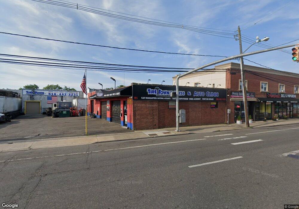
80 E Merrick Rd Freeport, NY 11520
Estimated Value: $1,090,936
Studio
--
Bath
2,828
Sq Ft
$386/Sq Ft
Est. Value
About This Home
This home is located at 80 E Merrick Rd, Freeport, NY 11520 and is currently estimated at $1,090,936, approximately $385 per square foot. 80 E Merrick Rd is a home located in Nassau County with nearby schools including Columbus Avenue School, Caroline G. Atkinson Intermediate School, and John W Dodd Middle School.
Ownership History
Date
Name
Owned For
Owner Type
Purchase Details
Closed on
Dec 8, 2016
Sold by
Dl Equities Llc
Bought by
80 E Merrick Road Management Inc
Current Estimated Value
Purchase Details
Closed on
Aug 30, 1999
Sold by
80 East Merrick Road Corp
Bought by
Esposito John H
Home Financials for this Owner
Home Financials are based on the most recent Mortgage that was taken out on this home.
Original Mortgage
$190,000
Interest Rate
6%
Mortgage Type
Commercial
Create a Home Valuation Report for This Property
The Home Valuation Report is an in-depth analysis detailing your home's value as well as a comparison with similar homes in the area
Home Values in the Area
Average Home Value in this Area
Purchase History
| Date | Buyer | Sale Price | Title Company |
|---|---|---|---|
| 80 E Merrick Road Management Inc | $535,000 | Metropolitan Abstract Corpor | |
| 80 E Merrick Road Management Inc | $535,000 | Metropolitan Abstract Corpor | |
| 80 E Merrick Road Management Inc | $535,000 | Metropolitan Abstract Corpor | |
| 80 E Merrick Road Management Inc | $535,000 | Metropolitan Abstract Corpor | |
| Esposito John H | $200,000 | Commonwealth Land Title Ins | |
| Esposito John H | $200,000 | Commonwealth Land Title Ins | |
| Esposito John H | $200,000 | Commonwealth Land Title Ins | |
| Esposito John H | $200,000 | Commonwealth Land Title Ins |
Source: Public Records
Mortgage History
| Date | Status | Borrower | Loan Amount |
|---|---|---|---|
| Previous Owner | Esposito John H | $190,000 |
Source: Public Records
Tax History
| Year | Tax Paid | Tax Assessment Tax Assessment Total Assessment is a certain percentage of the fair market value that is determined by local assessors to be the total taxable value of land and additions on the property. | Land | Improvement |
|---|---|---|---|---|
| 2025 | $19,996 | $5,514 | $2,237 | $3,277 |
| 2024 | $2,155 | $5,514 | $2,237 | $3,277 |
| 2023 | $16,429 | $5,514 | $2,237 | $3,277 |
| 2022 | $16,429 | $5,514 | $2,237 | $3,277 |
| 2021 | $15,742 | $5,290 | $2,237 | $3,053 |
| 2020 | $13,099 | $2,185 | $2,185 | $0 |
| 2019 | $12,289 | $2,185 | $2,185 | $0 |
| 2018 | $12,405 | $2,185 | $0 | $0 |
| 2017 | $7,761 | $2,185 | $2,185 | $0 |
| 2016 | $12,004 | $2,185 | $1,518 | $667 |
| 2015 | $1,519 | $2,185 | $1,608 | $577 |
| 2014 | $1,519 | $2,185 | $1,608 | $577 |
| 2013 | $1,436 | $2,185 | $1,191 | $994 |
Source: Public Records
Map
Nearby Homes
- 70 S Main St Unit 307-PH
- 73 Raynor St
- 3 Archer St
- 26 Rosedale Ave
- 58 Rutland Rd
- 58 Shonnard Ave
- 124 Smith St Unit 3B
- 124 Smith St Unit 3F
- 241 Commercial St
- 61 East Ave
- 96 N Columbus Ave
- 98 N Columbus Ave
- 149 Smith St Unit e-22
- 21 Stillwell Place
- 100 S Ocean Ave Unit 3U
- 100 S Ocean Ave Unit 3m
- 100 S Ocean Ave Unit 2B
- 5 Sportsmans Ave
- 2 Sportsmans Ave
- 24 Whaley St
Your Personal Tour Guide
Ask me questions while you tour the home.