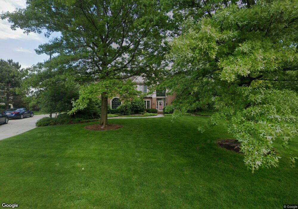
800 Auburn Dr Brookfield, WI 53045
Estimated Value: $1,005,000 - $1,233,000
About This Home
This home is located at 800 Auburn Dr, Brookfield, WI 53045 and is currently estimated at $1,085,470, approximately $327 per square foot. 800 Auburn Dr is a home located in Waukesha County with nearby schools including Swanson Elementary School, Wisconsin Hills Middle School, and Brookfield Central High School.
Ownership History
We collect this data history from publicly available records. To have your information removed, we recommend requesting removal directly through your county’s website.
Purchase Details
Home Financials for this Owner
Home Financials are based on the most recent Mortgage that was taken out on this home.Home Values in the Area
Average Home Value in this Area
Purchase History
We collect this data history from publicly available records. To have your information removed, we recommend requesting removal directly through your county’s website.
| Date | Buyer | Sale Price | Title Company |
|---|---|---|---|
| $74,900 | -- |
Mortgage History
We collect this data history from publicly available records. To have your information removed, we recommend requesting removal directly through your county’s website.
| Date | Status | Borrower | Loan Amount |
|---|---|---|---|
| Closed | $35,000 |
Tax History
We collect this data history from publicly available records. To have your information removed, we recommend requesting removal directly through your county’s website.
| Year | Tax Paid | Tax Assessment Tax Assessment Total Assessment is a certain percentage of the fair market value that is determined by local assessors to be the total taxable value of land and additions on the property. | Land | Improvement |
|---|---|---|---|---|
| 2025 | $10,302 | $880,500 | $230,000 | $650,500 |
| 2024 | $10,030 | $880,500 | $230,000 | $650,500 |
| 2023 | $10,054 | $880,500 | $230,000 | $650,500 |
| 2022 | $11,014 | $753,500 | $230,000 | $523,500 |
| 2021 | $11,681 | $753,500 | $230,000 | $523,500 |
| 2020 | $12,114 | $753,500 | $230,000 | $523,500 |
| 2019 | $11,662 | $753,500 | $230,000 | $523,500 |
| 2018 | $11,467 | $721,700 | $240,000 | $481,700 |
| 2017 | $11,425 | $721,700 | $240,000 | $481,700 |
| 2016 | $11,590 | $721,700 | $240,000 | $481,700 |
| 2015 | $11,508 | $721,700 | $240,000 | $481,700 |
| 2014 | $11,939 | $721,700 | $240,000 | $481,700 |
| 2013 | $11,939 | $721,700 | $240,000 | $481,700 |
Map
- 19710 Avondale Dr
- 20355 W Greenfield Ave
- 19065 Hi View Dr Unit 2
- 390 Dustin Dr Unit 1-7
- 325 Kristin Ct W Unit 1
- 18730 Emerald Cir Unit B
- 18925 Eagle Dr Unit 101
- 18925 Eagle Dr Unit 102
- 18925 Eagle Dr Unit 202
- 18925 Eagle Dr Unit 201
- 561 Hawks Ridge Rd
- 585 Hawks Ridge Rd
- 18160 Kestrel Ct
- 645 Talon Trail
- 18575 Brookfield Lake Dr Unit 62
- 18275 Brookfield Lake Dr Unit 93
- 780 Michael Dr
- 1310 Sunnycrest Dr
- 1135 Ridgeway Rd
- 21485 Belgren Rd
- 780 Auburn Dr
- 820 Auburn Dr
- 19500 Whitehall Dr
- 19530 Whitehall Dr
- 19480 Whitehall Dr
- 815 Auburn Dr
- 775 Auburn Dr
- 750 Auburn Dr
- 850 Foxkirk Dr
- 825 Auburn Dr
- 755 Fleetwood Ct
- 19540 Whitehall Dr
- 880 Foxkirk Dr
- 735 Auburn Dr
- 19525 Whitehall Dr
- 19575 Davidson Rd
- 19485 Whitehall Dr
- 720 Auburn Dr
- 835 Auburn Dr
- 785 Fleetwood Ct
Ask me questions while you tour the home.