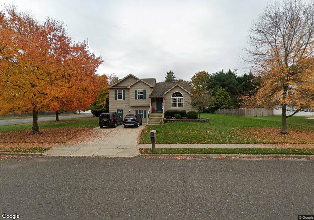
800 Rosetree Dr Williamstown, NJ 08094
Estimated Value: $481,000 - $553,000
4
Beds
3
Baths
2,728
Sq Ft
$188/Sq Ft
Est. Value
About This Home
This home is located at 800 Rosetree Dr, Williamstown, NJ 08094 and is currently estimated at $513,538, approximately $188 per square foot. 800 Rosetree Dr is a home located in Gloucester County with nearby schools including Williamstown High School, St. Mary School, and Finest of the Wheat Christian.
Ownership History
Date
Name
Owned For
Owner Type
Purchase Details
Closed on
Aug 30, 2000
Sold by
L G Rosetree Associates Llc
Bought by
Monson Robert J
Current Estimated Value
Home Financials for this Owner
Home Financials are based on the most recent Mortgage that was taken out on this home.
Original Mortgage
$110,000
Outstanding Balance
$40,261
Interest Rate
8.16%
Estimated Equity
$473,277
Purchase Details
Closed on
Jun 10, 1996
Sold by
De Lora Inc
Bought by
Millhaven Inc
Purchase Details
Closed on
Aug 11, 1994
Sold by
Khalifa Ghassan R
Bought by
De Lora Inc
Create a Home Valuation Report for This Property
The Home Valuation Report is an in-depth analysis detailing your home's value as well as a comparison with similar homes in the area
Home Values in the Area
Average Home Value in this Area
Purchase History
| Date | Buyer | Sale Price | Title Company |
|---|---|---|---|
| Monson Robert J | $150,000 | Congress Title Corp | |
| Millhaven Inc | -- | Congress Title Corp | |
| De Lora Inc | $350,000 | Congress Title Corp |
Source: Public Records
Mortgage History
| Date | Status | Borrower | Loan Amount |
|---|---|---|---|
| Open | Monson Robert J | $110,000 |
Source: Public Records
Tax History
| Year | Tax Paid | Tax Assessment Tax Assessment Total Assessment is a certain percentage of the fair market value that is determined by local assessors to be the total taxable value of land and additions on the property. | Land | Improvement |
|---|---|---|---|---|
| 2025 | $9,433 | $257,600 | $54,700 | $202,900 |
| 2024 | $9,364 | $257,600 | $54,700 | $202,900 |
| 2023 | $9,364 | $257,600 | $54,700 | $202,900 |
| 2022 | $9,320 | $257,600 | $54,700 | $202,900 |
| 2021 | $9,379 | $257,600 | $54,700 | $202,900 |
| 2020 | $9,369 | $257,600 | $54,700 | $202,900 |
| 2019 | $9,312 | $257,600 | $54,700 | $202,900 |
| 2018 | $9,160 | $257,600 | $54,700 | $202,900 |
| 2017 | $8,968 | $253,200 | $75,400 | $177,800 |
| 2016 | $8,854 | $253,200 | $75,400 | $177,800 |
| 2015 | $8,601 | $253,200 | $75,400 | $177,800 |
| 2014 | $8,351 | $253,200 | $75,400 | $177,800 |
Source: Public Records
Map
Nearby Homes
- 425 Longfellow Dr
- 910 Thoreau Ln
- 543 Blue Bell Rd
- 49 Miracle Dr
- 1018 Micawber Dr
- 971 N Beecham Rd
- 549 Maidstone Dr
- 647 Chestnut St
- 520 S Main St
- 943 Sykesville Rd
- 63 Linwood Ave
- 354 S Main St
- 501 Stockton Dr
- 1361 Black Horse Pike
- 110 Washington Ave Unit M23
- 632 Clayton Rd
- 415 Stockton Loop
- 208 Brandywine Dr
- 336 Copperfield Dr
- 0 Walnut St
- 802 Rosetree Dr
- 265 Ipswich Ln
- 269 Ipswich Ln
- 261 Ipswich Ln
- 801 Blue Bell Rd
- 755 Blue Bell Rd
- 257 Ipswich Ln
- 324 Ipswich Ln
- 806 Rosetree Dr
- 253 Ipswich Ln
- 254 Ipswich Ln
- 860 Hampton Way
- 322 Ipswich Ln
- 250 Ipswich Ln
- 825 Blue Bell Rd
- 745 Blue Bell Rd
- 249 Ipswich Ln
- 720 Chatsford Rd
- 808 Rosetree Dr
- 321 Ipswich Ln
Your Personal Tour Guide
Ask me questions while you tour the home.