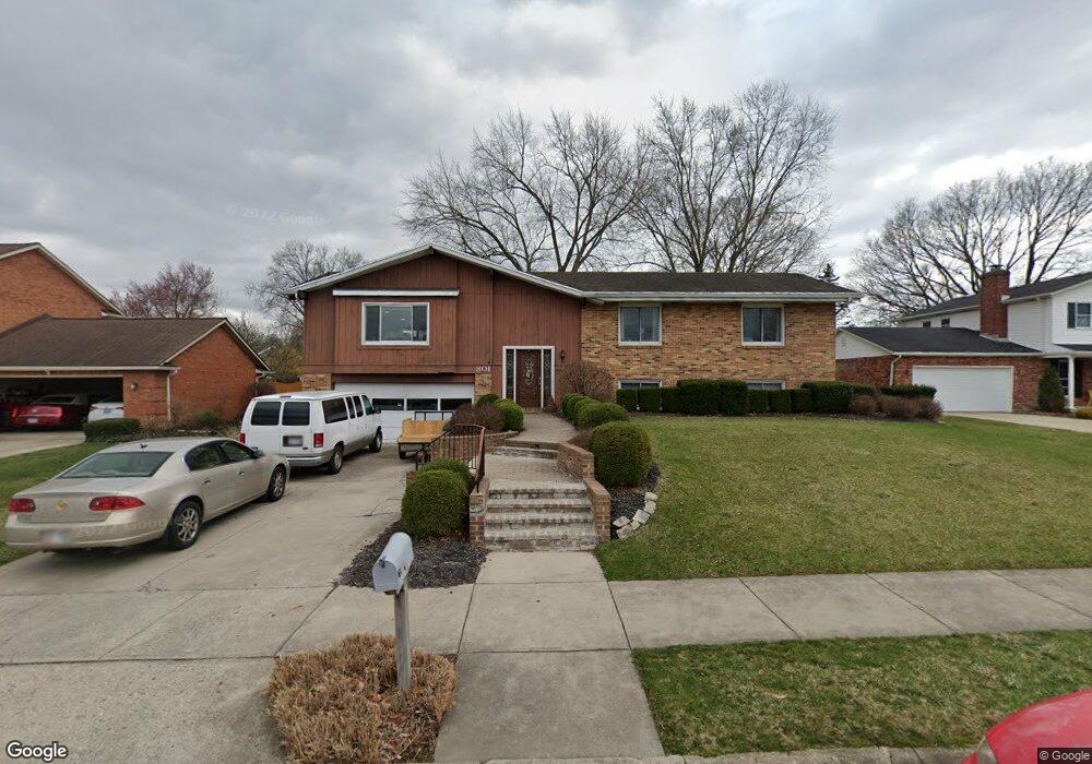
801 Linmuth Ct S Springfield, OH 45503
Estimated Value: $281,281 - $326,000
5
Beds
3
Baths
2,041
Sq Ft
$147/Sq Ft
Est. Value
About This Home
This home is located at 801 Linmuth Ct S, Springfield, OH 45503 and is currently estimated at $300,070, approximately $147 per square foot. 801 Linmuth Ct S is a home located in Clark County with nearby schools including Kenton Elementary School, Roosevelt Middle School, and Springfield High School.
Ownership History
Date
Name
Owned For
Owner Type
Purchase Details
Closed on
Jun 11, 1999
Sold by
Roark Dennis O and Biber Margaret S
Bought by
Harrison William R and Harrison Diana J
Current Estimated Value
Home Financials for this Owner
Home Financials are based on the most recent Mortgage that was taken out on this home.
Original Mortgage
$161,500
Interest Rate
6.99%
Mortgage Type
Purchase Money Mortgage
Purchase Details
Closed on
Nov 3, 1986
Create a Home Valuation Report for This Property
The Home Valuation Report is an in-depth analysis detailing your home's value as well as a comparison with similar homes in the area
Home Values in the Area
Average Home Value in this Area
Purchase History
We collect this data history from publicly available records. To have your information removed, we recommend requesting removal directly through your county’s website.
| Date | Buyer | Sale Price | Title Company |
|---|---|---|---|
| Harrison William R | $170,000 | -- | |
| -- | $120,000 | -- |
Source: Public Records
Mortgage History
We collect this data history from publicly available records. To have your information removed, we recommend requesting removal directly through your county’s website.
| Date | Status | Borrower | Loan Amount |
|---|---|---|---|
| Previous Owner | Harrison William R | $161,500 |
Source: Public Records
Tax History
| Year | Tax Paid | Tax Assessment Tax Assessment Total Assessment is a certain percentage of the fair market value that is determined by local assessors to be the total taxable value of land and additions on the property. | Land | Improvement |
|---|---|---|---|---|
| 2025 | $3,398 | $90,720 | $15,270 | $75,450 |
| 2024 | $3,312 | $67,050 | $13,420 | $53,630 |
| 2023 | $3,312 | $67,050 | $13,420 | $53,630 |
| 2022 | $3,393 | $67,050 | $13,420 | $53,630 |
| 2021 | $3,112 | $56,640 | $10,910 | $45,730 |
| 2020 | $3,120 | $56,640 | $10,910 | $45,730 |
| 2019 | $2,573 | $56,640 | $10,910 | $45,730 |
| 2018 | $2,498 | $53,410 | $8,590 | $44,820 |
| 2017 | $2,496 | $55,794 | $8,589 | $47,205 |
| 2016 | $2,499 | $55,794 | $8,589 | $47,205 |
| 2015 | $2,369 | $50,303 | $8,180 | $42,123 |
| 2014 | $2,359 | $50,303 | $8,180 | $42,123 |
| 2013 | $2,334 | $50,303 | $8,180 | $42,123 |
Source: Public Records
Map
Nearby Homes
- 837 Santa Monica Ave
- 3008 Imperial Blvd
- 3135 Imperial Blvd
- 732 Grandview Dr Unit 732
- 3145 Argonne Ln N Unit 3145
- 531 Argonne Ave
- 1404 Providence Ave
- 1404 Attleboro Ave
- 2516 Rebecca Dr
- 2416 Northmoor Dr
- 366 Northfield Blvd Unit 1C
- 2439 Greystone Ln
- 1031 Armsgate Rd Unit 11
- 2442 Greystone Ln
- 1013 Abington Place
- 1315 Greystone Dr
- 1323 Greystone Dr
- 1039 Bradford Dr Unit 42
- 2943 Tarryton Ln
- 2438 Signal Hill Rd
- 809 Linmuth Ct S
- 745 Linmuth Ct S
- 745 S Linmuth Ct
- 810 Weybridge Dr
- 800 Weybridge Dr
- 819 Linmuth Ct S
- 729 Linmuth Ct S
- 804 Linmuth Ct S
- 3014 Linmuth Dr W
- 820 Weybridge Dr
- 750 Weybridge Dr
- 3017 Linmuth Dr E
- 3007 Linmuth Dr W
- 730 Weybridge Dr
- 830 Weybridge Dr
- 829 Linmuth Ct S
- 3015 Linmuth Dr W
- 715 Weybridge Dr
- 3022 Linmuth Dr W
- 3023 Linmuth Dr E
Your Personal Tour Guide
Ask me questions while you tour the home.