801 Mccall Ct Columbus, OH 43235
Estimated Value: $520,000 - $674,000
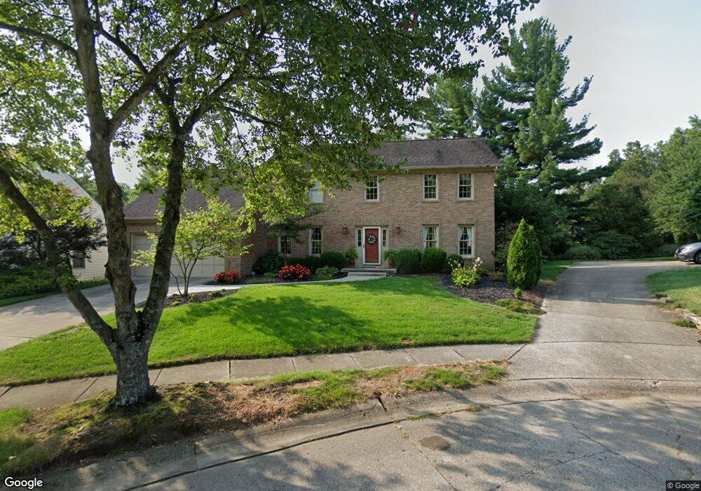
About This Home
This home is located at 801 Mccall Ct, Columbus, OH 43235 and is currently estimated at $600,522, approximately $244 per square foot. 801 Mccall Ct is a home located in Franklin County with nearby schools including Bluffsview Elementary School, McCord Middle School, and Worthington Kilbourne High School.
Ownership History
We collect this data history from publicly available records. To have your information removed, we recommend requesting removal directly through your county’s website.
Purchase Details
Home Financials for this Owner
Home Financials are based on the most recent Mortgage that was taken out on this home.Purchase Details
Purchase Details
Purchase Details
Home Values in the Area
Average Home Value in this Area
Purchase History
We collect this data history from publicly available records. To have your information removed, we recommend requesting removal directly through your county’s website.
| Date | Buyer | Sale Price | Title Company |
|---|---|---|---|
| $315,000 | Talon Group | ||
| $234,000 | Title First Agency | ||
| $137,100 | -- | ||
| $32,500 | -- |
Mortgage History
We collect this data history from publicly available records. To have your information removed, we recommend requesting removal directly through your county’s website.
| Date | Status | Borrower | Loan Amount |
|---|---|---|---|
| Closed | $42,000 | ||
| Closed | $194,500 | ||
| Closed | $59,000 | ||
| Closed | $200,000 | ||
| Closed | $50,000 | ||
| Closed | $200,000 | ||
| Closed | $167,500 | ||
| Closed | $75,000 | ||
| Closed | $143,500 | ||
| Closed | $50,000 | ||
| Closed | $147,000 |
Tax History
We collect this data history from publicly available records. To have your information removed, we recommend requesting removal directly through your county’s website.
| Year | Tax Paid | Tax Assessment Tax Assessment Total Assessment is a certain percentage of the fair market value that is determined by local assessors to be the total taxable value of land and additions on the property. | Land | Improvement |
|---|---|---|---|---|
| 2025 | $10,674 | $183,650 | $41,130 | $142,520 |
| 2024 | $10,674 | $183,650 | $41,130 | $142,520 |
| 2023 | $10,244 | $183,645 | $41,125 | $142,520 |
| 2022 | $9,369 | $135,380 | $24,360 | $111,020 |
| 2021 | $8,644 | $135,380 | $24,360 | $111,020 |
| 2020 | $8,326 | $135,380 | $24,360 | $111,020 |
| 2019 | $7,883 | $116,940 | $21,180 | $95,760 |
| 2018 | $7,174 | $116,940 | $21,180 | $95,760 |
| 2017 | $6,887 | $116,940 | $21,180 | $95,760 |
| 2016 | $6,710 | $103,260 | $28,040 | $75,220 |
| 2015 | $6,711 | $103,260 | $28,040 | $75,220 |
| 2014 | $6,709 | $103,260 | $28,040 | $75,220 |
| 2013 | $3,006 | $93,870 | $25,480 | $68,390 |
Map
- 982 Adin Trail
- 1003 Cross Country Dr
- 6889 Olentangy River Rd
- 1089 Bluffway Dr
- 7083 Oakstream Ct
- 1152 Tessier Dr
- 1065 Bluff Vista Dr Unit 1065
- 1233 Churchbell Way
- 7575 Cantigern Dr
- 1285 Worthington Heights Blvd
- 1219 Leicester Place
- 7594 Norham Rd
- 1165 MacGregor West Ave
- 254 Saint Antoine St
- 1339 Durness Ct
- 146 Saint Julien St Unit 28-A
- 1033 Firth Ave
- 206 Saint Pierre St Unit 3-B
- 786 Robbins Way
- 1013 Clubview Blvd S
- 787 Mccall Ct
- 800 Olenhurst Ct
- 809 Mccall Ct
- 792 Olenhurst Ct
- 778 Olenhurst Ct
- 792 Mccall Ct
- 786 Olenhurst Ct
- 808 Mccall Ct
- 800 Mccall Ct
- 784 Mccall Ct
- 810 Olenhurst Ct
- 844 John Michael Way
- 852 John Michael Way
- 836 John Michael Way
- 828 John Michael Way
- 828 John Michael Way Unit Lot16
- 797 Olenhurst Ct
- 860 John Michael Way
- 805 Olenhurst Ct
- 750 Olenhurst Ct
Ask me questions while you tour the home.