8013 Sunset Dr Horace, ND 58047
Estimated Value: $373,000 - $573,000
4
Beds
3
Baths
2,040
Sq Ft
$231/Sq Ft
Est. Value
About This Home
This home is located at 8013 Sunset Dr, Horace, ND 58047 and is currently estimated at $470,848, approximately $230 per square foot. 8013 Sunset Dr is a home located in Cass County with nearby schools including Horace Elementary School, Liberty Middle School, and West Fargo Sheyenne High School.
Ownership History
Date
Name
Owned For
Owner Type
Purchase Details
Closed on
Dec 17, 2013
Sold by
Vetter Cheryl Ann
Bought by
Robinson Andrew P and Robinson Michelle L
Current Estimated Value
Home Financials for this Owner
Home Financials are based on the most recent Mortgage that was taken out on this home.
Original Mortgage
$199,500
Outstanding Balance
$146,125
Interest Rate
4.17%
Mortgage Type
New Conventional
Estimated Equity
$324,723
Create a Home Valuation Report for This Property
The Home Valuation Report is an in-depth analysis detailing your home's value as well as a comparison with similar homes in the area
Home Values in the Area
Average Home Value in this Area
Purchase History
We collect this data history from publicly available records. To have your information removed, we recommend requesting removal directly through your county’s website.
| Date | Buyer | Sale Price | Title Company |
|---|---|---|---|
| Robinson Andrew P | $210,000 | Title Co |
Source: Public Records
Mortgage History
We collect this data history from publicly available records. To have your information removed, we recommend requesting removal directly through your county’s website.
| Date | Status | Borrower | Loan Amount |
|---|---|---|---|
| Open | Robinson Andrew P | $199,500 |
Source: Public Records
Tax History
| Year | Tax Paid | Tax Assessment Tax Assessment Total Assessment is a certain percentage of the fair market value that is determined by local assessors to be the total taxable value of land and additions on the property. | Land | Improvement |
|---|---|---|---|---|
| 2025 | $3,044 | $177,400 | $28,300 | $149,100 |
| 2024 | $3,771 | $171,200 | $28,300 | $142,900 |
| 2023 | $4,292 | $172,100 | $28,300 | $143,800 |
| 2022 | $4,297 | $163,150 | $28,300 | $134,850 |
| 2021 | $4,106 | $154,250 | $28,300 | $125,950 |
| 2020 | $3,985 | $150,700 | $28,300 | $122,400 |
| 2019 | $3,502 | $130,150 | $20,750 | $109,400 |
| 2018 | $3,354 | $130,150 | $20,750 | $109,400 |
| 2017 | $3,077 | $125,150 | $19,950 | $105,200 |
| 2016 | $2,527 | $121,500 | $19,350 | $102,150 |
| 2015 | $2,486 | $112,500 | $17,900 | $94,600 |
| 2014 | $2,386 | $109,250 | $17,400 | $91,850 |
| 2013 | $2,200 | $99,300 | $15,800 | $83,500 |
Source: Public Records
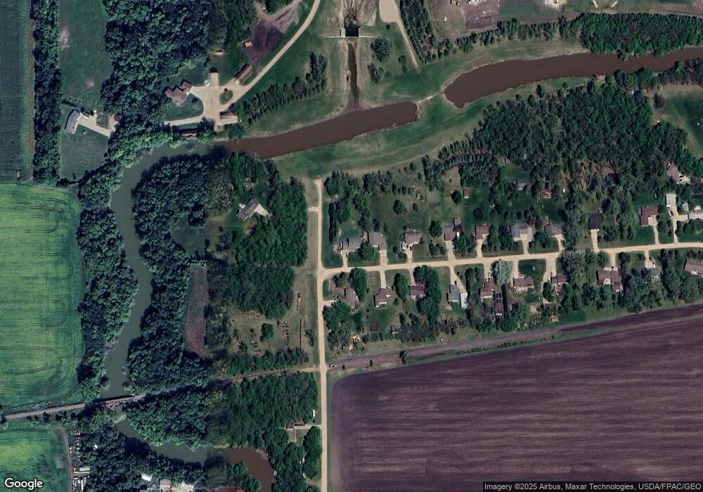
Map
Nearby Homes
- 7890 Dogwood Dr
- 7705 81st St S
- 7723 81st St S
- 7892 Buckthorn Ave
- 8907 Cottonwood Blvd
- 7903 Buckthorn Ave
- 7909 Lost River Rd
- 7901 Lost River Rd
- 8912 Meadowlark Pkwy
- 8924 Meadowlark Pkwy
- 8916 Meadowlark Pkwy
- 7897 Cottonwood Blvd
- 7895 Cottonwood Blvd
- 7889 Cottonwood Blvd
- 9256 Didrick Dr
- 9280 Didrick Dr
- 8853 Meadowlark Pkwy
- 7341 101st Ave S
- 10109 Concord Dr
- 10125 Concord Dr
- 8009 Sunset Dr
- 9806 81st St S
- 8005 Sunset Dr
- 8010 Sunset Dr
- 8014 Sunset Dr
- 7913 Sunset Dr
- 9707 81st St S
- 7914 Sunset Dr
- 7909 Sunset Dr
- 7910 Sunset Dr
- 7906 Sunset Dr
- 7905 Sunset Dr
- 7813 Sunset Dr
- 7814 Sunset Dr
- 9605 81st St S
- 7810 Sunset Dr
- 7809 Sunset Dr
- 9284 Didrick Dr
- 7805 Sunset Dr
- 7806 Sunset Dr
Your Personal Tour Guide
Ask me questions while you tour the home.