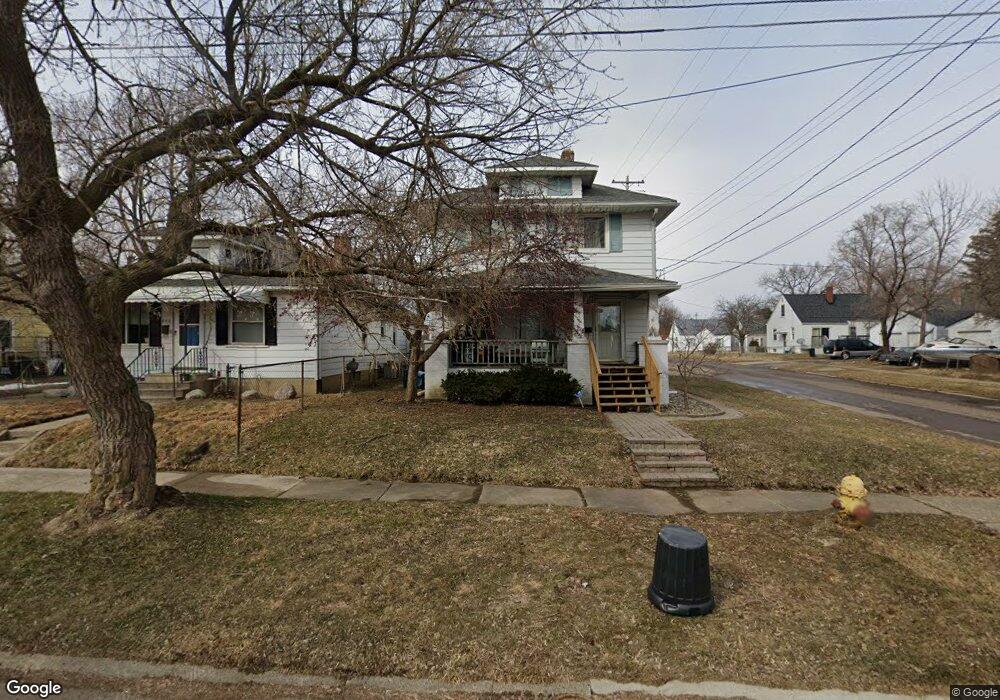
802 Clinton St Flint, MI 48507
South Side NeighborhoodEstimated Value: $55,262 - $85,000
4
Beds
2
Baths
1,274
Sq Ft
$58/Sq Ft
Est. Value
About This Home
This home is located at 802 Clinton St, Flint, MI 48507 and is currently estimated at $73,316, approximately $57 per square foot. 802 Clinton St is a home located in Genesee County with nearby schools including Neithercut Elementary School, Flint Southwestern Classical Academy, and International Academy of Flint (K-12).
Ownership History
Date
Name
Owned For
Owner Type
Purchase Details
Closed on
Nov 21, 2008
Sold by
Preston Steven C
Bought by
Sharick George
Current Estimated Value
Purchase Details
Closed on
Jan 12, 2007
Sold by
Abn Amro Mortgage Group Inc
Bought by
Hud
Purchase Details
Closed on
Jul 5, 2006
Sold by
Wright David A
Bought by
Abn Amro Mortgage Group Inc
Purchase Details
Closed on
May 30, 2000
Sold by
Brothers & Company Inc
Bought by
Wright David A
Purchase Details
Closed on
Feb 28, 2000
Sold by
Yusef Yusef K and Yusef Ghada
Bought by
Brothers & Company Inc
Create a Home Valuation Report for This Property
The Home Valuation Report is an in-depth analysis detailing your home's value as well as a comparison with similar homes in the area
Home Values in the Area
Average Home Value in this Area
Purchase History
We collect this data history from publicly available records. To have your information removed, we recommend requesting removal directly through your county’s website.
| Date | Buyer | Sale Price | Title Company |
|---|---|---|---|
| Sharick George | $15,200 | None Available | |
| Hud | -- | None Available | |
| Abn Amro Mortgage Group Inc | $70,206 | None Available | |
| Wright David A | $67,000 | Sargents Title Company | |
| Brothers & Company Inc | $5,000 | Sargents Title Company |
Source: Public Records
Tax History
| Year | Tax Paid | Tax Assessment Tax Assessment Total Assessment is a certain percentage of the fair market value that is determined by local assessors to be the total taxable value of land and additions on the property. | Land | Improvement |
|---|---|---|---|---|
| 2025 | $1,100 | $23,400 | $0 | $0 |
| 2024 | $993 | $23,700 | $0 | $0 |
| 2023 | $973 | $19,000 | $0 | $0 |
| 2022 | $0 | $17,100 | $0 | $0 |
| 2021 | $1,014 | $15,200 | $0 | $0 |
| 2020 | $910 | $15,200 | $0 | $0 |
| 2019 | $885 | $15,600 | $0 | $0 |
| 2018 | $893 | $13,600 | $0 | $0 |
| 2017 | $867 | $0 | $0 | $0 |
| 2016 | $861 | $0 | $0 | $0 |
| 2015 | -- | $0 | $0 | $0 |
| 2012 | -- | $17,200 | $0 | $0 |
Source: Public Records
Map
Nearby Homes
- 805 Alvord Ave
- 806 Alvord Ave
- 814 Alvord Ave
- 730 Alvord Ave
- 749 Crawford St
- 838 Clinton St
- 845 Alvord Ave
- 721 Huron St
- 701 Alvord Ave
- 4117 Brunswick Ave
- 713 Leland St
- 652 Crawford St
- 912 Huron St
- 644 Crawford St
- 842 Leland St
- 920 Huron St
- 640 Crawford St
- 822 Campbell St
- 925 Leland St
- 4308 S Grand Traverse St
Your Personal Tour Guide
Ask me questions while you tour the home.