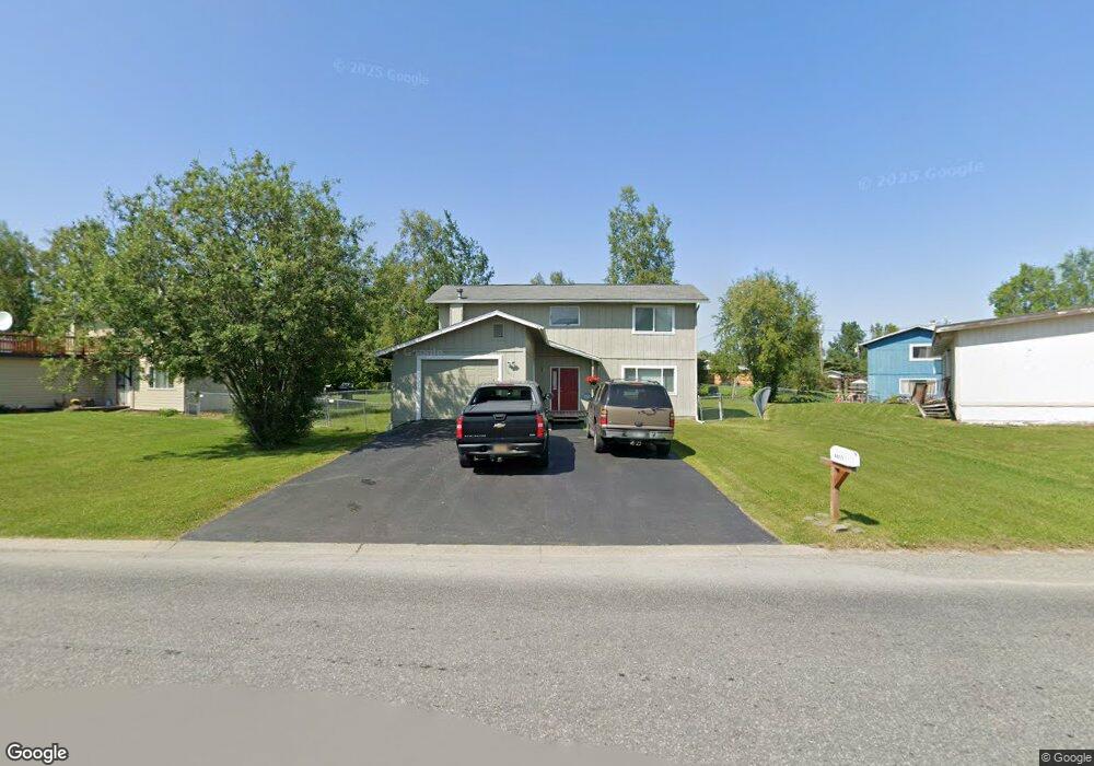
8021 E 20th Ave Anchorage, AK 99504
Northeast Anchorage NeighborhoodEstimated Value: $258,000 - $462,000
3
Beds
3
Baths
1,920
Sq Ft
$186/Sq Ft
Est. Value
About This Home
This home is located at 8021 E 20th Ave, Anchorage, AK 99504 and is currently estimated at $356,752, approximately $185 per square foot. 8021 E 20th Ave is a home located in Anchorage Municipality with nearby schools including Susitna Elementary School, Nicholas J. Begich Middle School, and Bartlett High School.
Ownership History
Date
Name
Owned For
Owner Type
Purchase Details
Closed on
Oct 6, 2006
Sold by
Gibson Suwana
Bought by
Pehtchinda Dennis and Gibson Suwana
Current Estimated Value
Home Financials for this Owner
Home Financials are based on the most recent Mortgage that was taken out on this home.
Original Mortgage
$90,000
Interest Rate
6.44%
Mortgage Type
New Conventional
Create a Home Valuation Report for This Property
The Home Valuation Report is an in-depth analysis detailing your home's value as well as a comparison with similar homes in the area
Home Values in the Area
Average Home Value in this Area
Purchase History
| Date | Buyer | Sale Price | Title Company |
|---|---|---|---|
| Pehtchinda Dennis | -- | Pacific Northwest Title Of A |
Source: Public Records
Mortgage History
| Date | Status | Borrower | Loan Amount |
|---|---|---|---|
| Closed | Pehtchinda Dennis | $90,000 |
Source: Public Records
Tax History
| Year | Tax Paid | Tax Assessment Tax Assessment Total Assessment is a certain percentage of the fair market value that is determined by local assessors to be the total taxable value of land and additions on the property. | Land | Improvement |
|---|---|---|---|---|
| 2025 | $1,999 | $378,400 | $92,100 | $286,300 |
| 2024 | $1,999 | $348,800 | $92,100 | $256,700 |
| 2023 | $5,525 | $324,400 | $92,100 | $232,300 |
| 2022 | $1,994 | $318,400 | $92,100 | $226,300 |
| 2021 | $5,251 | $291,400 | $92,100 | $199,300 |
| 2020 | $3,917 | $280,700 | $92,100 | $188,600 |
| 2019 | $3,720 | $277,400 | $92,100 | $185,300 |
| 2018 | $3,531 | $265,300 | $92,100 | $173,200 |
| 2017 | $4,076 | $280,300 | $92,100 | $188,200 |
| 2016 | $3,773 | $277,400 | $90,000 | $187,400 |
| 2015 | $3,773 | $273,400 | $90,000 | $183,400 |
| 2014 | $3,773 | $263,000 | $82,800 | $180,200 |
Source: Public Records
Map
Nearby Homes
- 1900 Muldoon Rd
- 1640 Parkway Dr
- 1801 Greendale Dr
- 2221 Muldoon Rd Unit 280
- 2221 Muldoon Rd Unit 68
- 2221 Muldoon Rd Unit 524
- 2291 Duncanshire Place Unit 154
- 8111 Northview Dr
- 1542 Northview Dr Unit E8
- 1542 Northview Dr Unit E5
- 8041 Astonshire Ct Unit 85
- 1541 State St Unit B-3
- 7989 Hillshire Ct Unit 39
- 7515 E 20th Ave
- 8500 Moss Ct Unit 13
- 7532 Eastbrook Cir
- 1477 Shallow Pool Dr Unit J3
- 1482 Shallow Pool Dr Unit M3
- 7426 E 20th Ave
- 7339 E 17th Ave
- 8011 E 20th Ave
- 1942 State St
- 1890 Parkway Dr
- 8031 E 20th Ave
- 1930 State St
- 8001 E 20th Ave
- 1880 Parkway Dr
- 7944 Parkway Dr
- 1920 State St
- 7939 E 20th Ave
- 8100 E 20th Ave
- 1941 State St
- 1870 Parkway Dr
- 7936 Parkway Dr
- 1931 State St
- 8116 E 20th Ave
- 7927 E 20th Ave
- 1910 State St
- 1860 Parkway Dr
- 1877 Parkway Dr
Your Personal Tour Guide
Ask me questions while you tour the home.