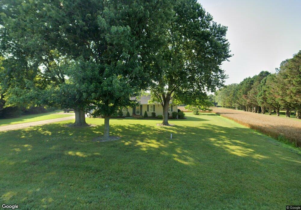
8025 White Lowe Rd Salisbury, MD 21801
North Salisbury NeighborhoodEstimated Value: $275,000 - $321,921
Studio
2
Baths
1,764
Sq Ft
$170/Sq Ft
Est. Value
About This Home
This home is located at 8025 White Lowe Rd, Salisbury, MD 21801 and is currently estimated at $299,980, approximately $170 per square foot. 8025 White Lowe Rd is a home located in Wicomico County with nearby schools including Westside Primary School, Westside Intermediate School, and Salisbury Middle School.
Ownership History
Date
Name
Owned For
Owner Type
Purchase Details
Closed on
Sep 20, 1989
Sold by
Collins Collins J and Collins Barbara T
Bought by
Perdue Thomas O and Perdue Donna J
Current Estimated Value
Home Financials for this Owner
Home Financials are based on the most recent Mortgage that was taken out on this home.
Original Mortgage
$69,250
Interest Rate
10.05%
Purchase Details
Closed on
Jan 17, 1989
Sold by
Ebelein John H and Ebelein Arlene P
Bought by
Collins Collins J and Collins Barbara T
Create a Home Valuation Report for This Property
The Home Valuation Report is an in-depth analysis detailing your home's value as well as a comparison with similar homes in the area
Home Values in the Area
Average Home Value in this Area
Purchase History
| Date | Buyer | Sale Price | Title Company |
|---|---|---|---|
| Perdue Thomas O | $72,900 | -- | |
| Collins Collins J | $18,500 | -- |
Source: Public Records
Mortgage History
| Date | Status | Borrower | Loan Amount |
|---|---|---|---|
| Closed | Perdue Thomas O | $69,250 |
Source: Public Records
Tax History
| Year | Tax Paid | Tax Assessment Tax Assessment Total Assessment is a certain percentage of the fair market value that is determined by local assessors to be the total taxable value of land and additions on the property. | Land | Improvement |
|---|---|---|---|---|
| 2025 | $1,945 | $216,567 | $0 | $0 |
| 2024 | $1,948 | $202,233 | $0 | $0 |
| 2023 | $1,874 | $187,900 | $50,900 | $137,000 |
| 2022 | $1,949 | $185,333 | $0 | $0 |
| 2021 | $1,916 | $182,767 | $0 | $0 |
| 2020 | $1,916 | $180,200 | $50,900 | $129,300 |
| 2019 | $1,865 | $172,933 | $0 | $0 |
| 2018 | $1,798 | $165,667 | $0 | $0 |
| 2017 | $1,726 | $158,400 | $0 | $0 |
| 2016 | -- | $157,500 | $0 | $0 |
| 2015 | $1,722 | $156,600 | $0 | $0 |
| 2014 | $1,722 | $155,700 | $0 | $0 |
Source: Public Records
Map
Nearby Homes
- 27905 Ocean Gateway
- 7592 Buckman Ave
- 7545 Titleist Dr
- 7503 Titleist Dr
- 0 Log Cabin Rd Unit MDWC2015458
- 28600 Naylor Mill Rd
- 7860 Bennett Park Dr
- 7877 Dublin Rd
- 1817 Ocean Shore Ln
- 27135 E Lillian St
- 28570 Ocean Gateway
- 667 Cook Dr
- 827 Marquis Ave
- 1706 Severn St
- 8014 Jersey Rd
- 29167 Doubletree Dr
- 813 Marquis Ave
- LOT 1 Jersey Rd
- Lot 2 Jersey Rd
- Lot 3 Jersey Rd
- 8011 White Lowe Rd
- 8037 White Lowe Rd
- 8005 White Lowe Rd
- 8058 White Lowe Rd
- 8058 White Lowe Rd
- 7997 White Lowe Rd
- 8070 White Lowe Rd
- 7987 White Lowe Rd
- 7975 White Lowe Rd
- 8075 White Lowe Rd
- 7969 White Lowe Rd
- 7959 White Lowe Rd
- 8105 White Lowe Rd
- 7949 White Lowe Rd
- 8121 White Lowe Rd
- 8138 White Lowe Rd
- 8145 White Lowe Rd
- 0 White Lowe Rd
- 8157 White Lowe Rd
- 8175 White Lowe Rd
Your Personal Tour Guide
Ask me questions while you tour the home.