8028 Maple Point Dr Clinton, WA 98236
Estimated Value: $433,000 - $470,000
2
Beds
2
Baths
1,090
Sq Ft
$420/Sq Ft
Est. Value
About This Home
This home is located at 8028 Maple Point Dr, Clinton, WA 98236 and is currently estimated at $458,225, approximately $420 per square foot. 8028 Maple Point Dr is a home located in Island County with nearby schools including South Whidbey Elementary School, South Whidbey Middle School, and South Whidbey High School.
Ownership History
Date
Name
Owned For
Owner Type
Purchase Details
Closed on
May 7, 2004
Sold by
Musgrove Clarence L and Musgrove Barbara
Bought by
Oyler Mel
Current Estimated Value
Home Financials for this Owner
Home Financials are based on the most recent Mortgage that was taken out on this home.
Original Mortgage
$114,000
Interest Rate
4.84%
Mortgage Type
Purchase Money Mortgage
Create a Home Valuation Report for This Property
The Home Valuation Report is an in-depth analysis detailing your home's value as well as a comparison with similar homes in the area
Home Values in the Area
Average Home Value in this Area
Purchase History
| Date | Buyer | Sale Price | Title Company |
|---|---|---|---|
| Oyler Mel | $120,000 | -- |
Source: Public Records
Mortgage History
| Date | Status | Borrower | Loan Amount |
|---|---|---|---|
| Closed | Oyler Mel | $114,000 |
Source: Public Records
Tax History
| Year | Tax Paid | Tax Assessment Tax Assessment Total Assessment is a certain percentage of the fair market value that is determined by local assessors to be the total taxable value of land and additions on the property. | Land | Improvement |
|---|---|---|---|---|
| 2025 | $2,850 | $412,293 | $230,000 | $182,293 |
| 2024 | $2,612 | $394,592 | $210,000 | $184,592 |
| 2023 | $2,612 | $396,893 | $210,000 | $186,893 |
| 2022 | $2,327 | $371,316 | $200,000 | $171,316 |
| 2021 | $2,084 | $290,782 | $140,000 | $150,782 |
| 2020 | $1,757 | $264,694 | $125,000 | $139,694 |
| 2019 | $1,693 | $228,274 | $130,000 | $98,274 |
| 2018 | $1,503 | $218,576 | $120,000 | $98,576 |
| 2017 | $1,308 | $179,181 | $80,000 | $99,181 |
| 2016 | $1,243 | $170,392 | $70,000 | $100,392 |
| 2015 | -- | $156,600 | $55,000 | $101,600 |
| 2013 | -- | $161,773 | $55,000 | $106,773 |
Source: Public Records
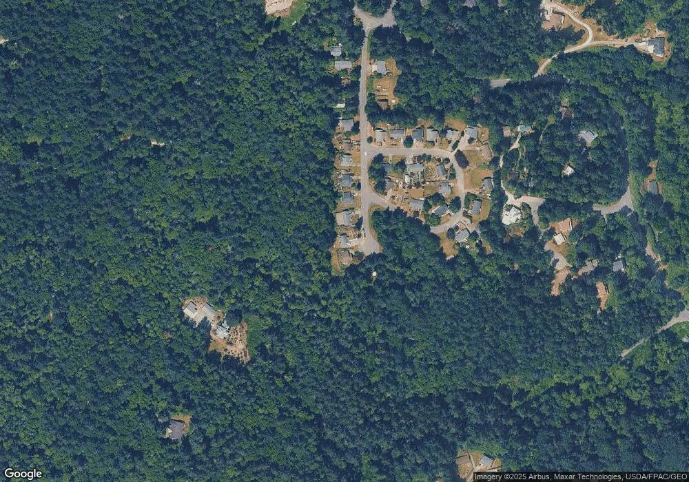
Map
Nearby Homes
- 3681 Kingston Ct
- 3654 Harper St
- 7891 San Juan Ave
- 7882 Blakely Ave
- 7875 Mortland Dr
- 7847 Blakely Ave
- 7822 Songbird Way
- 3837 Driftwood Dr
- 3723 Swede Hill Rd
- 8208 Sandy Hook Dr
- 0 XXX Scatchet Head Rd
- 7589 Bailey Rd
- 8122 Autumn Ln
- 0 XXX Sandy Hook Dr
- 8201 Olympic View Ln
- 7683 Maxwelton Rd
- 8175 Mossy Rock Rd
- 8167 Possession Ridge Ln
- 8111 Possession Ridge Ln
- 4050 Rachel Rd
- 8024 Maple Point Dr
- 8032 Maple Point Dr
- 11111 Maple Point Dr
- 111111 Maple Point
- 8020 Maple Point Dr
- 8016 Maple Point Dr
- 3678 Britzman Loop
- 8012 Maple Dr
- 8012 Maple Point Dr
- 3668 Britzman Loop
- 3618 Britzman Loop
- 4 Lot 4 Maple Point Rd
- 8008 Maple Point Dr
- 3622 Britzman Loop
- 3662 Britzman Loop
- 3638 Britzman Loop
- 8004 Maple Point Dr
- 3626 Britzman Loop
- 3657 Britzman Loop
- 3621 Britzman Loop
Your Personal Tour Guide
Ask me questions while you tour the home.