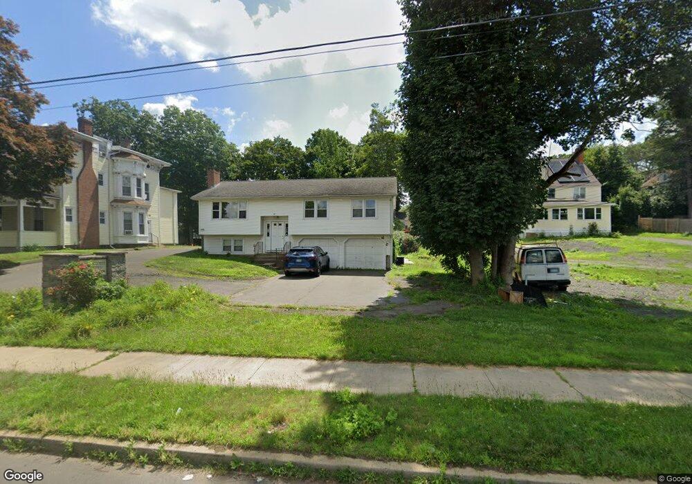
805 Broad St Meriden, CT 06450
Estimated Value: $142,000 - $189,000
2
Beds
2
Baths
1,056
Sq Ft
$165/Sq Ft
Est. Value
About This Home
This home is located at 805 Broad St, Meriden, CT 06450 and is currently estimated at $174,621, approximately $165 per square foot. 805 Broad St is a home located in New Haven County with nearby schools including Nathan Hale Elementary School, Washington Middle School, and Francis T. Maloney High School.
Ownership History
Date
Name
Owned For
Owner Type
Purchase Details
Closed on
Jun 17, 2010
Sold by
Holloway Theresa A
Bought by
Nationstar Mortgage Ll
Current Estimated Value
Purchase Details
Closed on
Jul 30, 2001
Sold by
Lefort Joanne
Bought by
Holloway John E and Holloway Theresa A
Purchase Details
Closed on
May 25, 1999
Sold by
Vitanza Salvatore E and Vitanza Dolores A
Bought by
Lefort Joanne
Create a Home Valuation Report for This Property
The Home Valuation Report is an in-depth analysis detailing your home's value as well as a comparison with similar homes in the area
Home Values in the Area
Average Home Value in this Area
Purchase History
| Date | Buyer | Sale Price | Title Company |
|---|---|---|---|
| Nationstar Mortgage Ll | -- | -- | |
| Federal National Mortgage Association | -- | -- | |
| Holloway John E | $63,500 | -- | |
| Lefort Joanne | $44,900 | -- |
Source: Public Records
Mortgage History
| Date | Status | Borrower | Loan Amount |
|---|---|---|---|
| Open | Lefort Joanne | $3,561 | |
| Open | Lefort Joanne | $82,148 | |
| Previous Owner | Lefort Joanne | $98,100 |
Source: Public Records
Tax History
| Year | Tax Paid | Tax Assessment Tax Assessment Total Assessment is a certain percentage of the fair market value that is determined by local assessors to be the total taxable value of land and additions on the property. | Land | Improvement |
|---|---|---|---|---|
| 2025 | $2,608 | $65,030 | $0 | $65,030 |
| 2024 | $2,361 | $65,030 | $0 | $65,030 |
| 2023 | $2,262 | $65,030 | $0 | $65,030 |
| 2022 | $2,145 | $65,030 | $0 | $65,030 |
| 2021 | $1,522 | $37,240 | $0 | $37,240 |
| 2020 | $1,522 | $37,240 | $0 | $37,240 |
| 2019 | $1,524 | $37,310 | $0 | $37,310 |
| 2018 | $1,531 | $37,310 | $0 | $37,310 |
| 2017 | $1,489 | $37,310 | $0 | $37,310 |
| 2016 | $2,305 | $62,930 | $0 | $62,930 |
| 2015 | $2,305 | $62,930 | $0 | $62,930 |
| 2014 | $2,249 | $62,930 | $0 | $62,930 |
Source: Public Records
Map
Nearby Homes
- 302 Blackstone Village Unit 302
- 410 Blackstone Village Unit 410
- 67 Woodland Ridge Unit 67
- 104 Robin Hill Rd
- 30 Stoneycrest Dr
- 26 Guiel Place Unit 8
- 112 Orchard St
- 85 Hicks St
- 8 Howard Ave
- 135 Atkins St
- 44 Prescott St
- 41 Pine Tree Ridge
- 882 N Colony Rd Unit 31
- 131 Converse Ave
- 22 Webster St
- 142 Gracey Ave
- 102 Franklin St
- 96 Franklin St
- 396 Gracey Ave
- 101 Wilcox Ave
- 841 Broad St
- 425 Morningside Dr Unit 425
- 806 Broad St
- 808 Broad St
- 824 Broad St
- 826 Broad St
- 840 Broad St
- 846 Broad St
- 214 Blackstone Village Unit 214
- 204 Blackstone Village Unit 204
- 204 Blackstone Village Unit STONE
- 202 Blackstone Village Unit 202
- 109 Blackstone Village
- 109 Blackstone Village Unit 109
- 124 Blackstone Village Unit 124
- 124 Blackstone Village Unit 837
- 121 Blackstone Village
- 120 Blackstone Village
- 308 Blackstone St Unit 308
- 506 Blackstone St Unit 506
Your Personal Tour Guide
Ask me questions while you tour the home.