806 Lewis Blvd Lima, OH 45801
Northside Lima NeighborhoodEstimated Value: $156,000 - $175,000
3
Beds
2
Baths
1,728
Sq Ft
$97/Sq Ft
Est. Value
About This Home
This home is located at 806 Lewis Blvd, Lima, OH 45801 and is currently estimated at $167,713, approximately $97 per square foot. 806 Lewis Blvd is a home located in Allen County with nearby schools including Elida Elementary School, Elida Middle School, and Elida High School.
Ownership History
Date
Name
Owned For
Owner Type
Purchase Details
Closed on
Mar 18, 1999
Sold by
Turney Theodore
Bought by
Sutton David and Sutton Kristin
Current Estimated Value
Home Financials for this Owner
Home Financials are based on the most recent Mortgage that was taken out on this home.
Original Mortgage
$54,320
Outstanding Balance
$13,203
Interest Rate
6.8%
Mortgage Type
New Conventional
Estimated Equity
$154,510
Purchase Details
Closed on
Apr 1, 1981
Bought by
Turney Dorothy W
Create a Home Valuation Report for This Property
The Home Valuation Report is an in-depth analysis detailing your home's value as well as a comparison with similar homes in the area
Home Values in the Area
Average Home Value in this Area
Purchase History
| Date | Buyer | Sale Price | Title Company |
|---|---|---|---|
| Sutton David | $56,000 | -- | |
| Turney Dorothy W | -- | -- |
Source: Public Records
Mortgage History
| Date | Status | Borrower | Loan Amount |
|---|---|---|---|
| Open | Sutton David | $54,320 |
Source: Public Records
Tax History
| Year | Tax Paid | Tax Assessment Tax Assessment Total Assessment is a certain percentage of the fair market value that is determined by local assessors to be the total taxable value of land and additions on the property. | Land | Improvement |
|---|---|---|---|---|
| 2024 | $1,718 | $42,670 | $5,220 | $37,450 |
| 2023 | $1,399 | $31,160 | $3,820 | $27,340 |
| 2022 | $1,422 | $31,160 | $3,820 | $27,340 |
| 2021 | $1,429 | $31,160 | $3,820 | $27,340 |
| 2020 | $1,283 | $26,220 | $3,640 | $22,580 |
| 2019 | $1,283 | $26,220 | $3,640 | $22,580 |
| 2018 | $1,207 | $26,220 | $3,640 | $22,580 |
| 2017 | $1,111 | $23,630 | $3,640 | $19,990 |
| 2016 | $1,110 | $23,630 | $3,640 | $19,990 |
| 2015 | $1,068 | $23,630 | $3,640 | $19,990 |
| 2014 | $1,068 | $21,910 | $3,500 | $18,410 |
| 2013 | $1,036 | $21,910 | $3,500 | $18,410 |
Source: Public Records
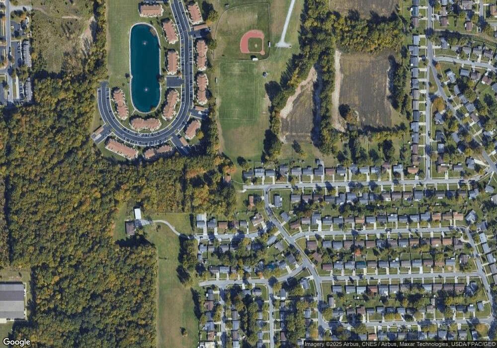
Map
Nearby Homes
- 613 Meadowbrook Dr
- 2126 N Metcalf St
- 660 W Lane Ave
- 2355 Burden Dr
- 2380 Mandolin Dr
- 2371 Mandolin Dr
- 2381 Mandolin Dr
- 500 W Northern Ave
- 2286 N Cole St
- 1809 N Metcalf St
- 1705 Karen St
- 1212 Virginia Ave
- 760 W O'Connor Ave
- 524 Sandpiper St
- 645 W O'Connor Ave
- 207 W Lane Ave
- 635 W Ashton Ave
- 2113 Kimberly Dr
- 576 W Ashton Ave
- 1580 W Robb Ave
- 800 Lewis Blvd
- 801 Lewis Blvd
- 774 Lewis Blvd
- 1975 Brookwood Dr
- 768 Lewis Blvd
- 1970 Brookwood Dr
- 762 Lewis Blvd
- 702 Meadowbrook Dr
- 712 Meadowbrook Dr
- 716 Meadowbrook Dr
- 767 Lewis Blvd
- 720 Meadowbrook Dr
- 1950 Brookwood Dr
- 724 Meadowbrook Dr
- 761 Lewis Blvd
- 690 Meadowbrook Dr
- 750 Lewis Blvd
- 701 Meadowbrook Dr
- 684 Meadowbrook Dr
Your Personal Tour Guide
Ask me questions while you tour the home.