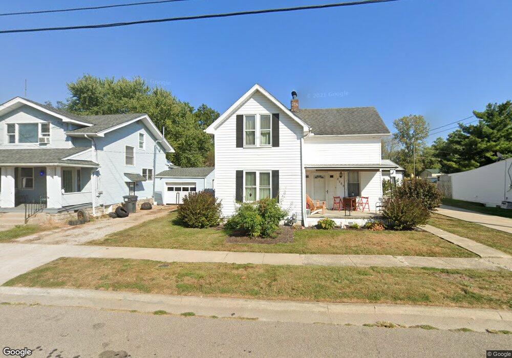
8068 High St Thurston, OH 43157
Estimated Value: $166,000 - $214,000
4
Beds
1
Bath
1,219
Sq Ft
$156/Sq Ft
Est. Value
About This Home
This home is located at 8068 High St, Thurston, OH 43157 and is currently estimated at $189,758, approximately $155 per square foot. 8068 High St is a home with nearby schools including Liberty Union Elementary School, Liberty Union Middle School, and Liberty Union High School.
Ownership History
Date
Name
Owned For
Owner Type
Purchase Details
Closed on
Aug 30, 2002
Sold by
Collier Anna L
Bought by
Whited Scott A
Current Estimated Value
Home Financials for this Owner
Home Financials are based on the most recent Mortgage that was taken out on this home.
Original Mortgage
$97,920
Outstanding Balance
$39,867
Interest Rate
6.56%
Mortgage Type
VA
Estimated Equity
$149,891
Create a Home Valuation Report for This Property
The Home Valuation Report is an in-depth analysis detailing your home's value as well as a comparison with similar homes in the area
Home Values in the Area
Average Home Value in this Area
Purchase History
| Date | Buyer | Sale Price | Title Company |
|---|---|---|---|
| Whited Scott A | $96,000 | -- |
Source: Public Records
Mortgage History
| Date | Status | Borrower | Loan Amount |
|---|---|---|---|
| Open | Whited Scott A | $97,920 |
Source: Public Records
Tax History
| Year | Tax Paid | Tax Assessment Tax Assessment Total Assessment is a certain percentage of the fair market value that is determined by local assessors to be the total taxable value of land and additions on the property. | Land | Improvement |
|---|---|---|---|---|
| 2025 | $3,231 | $44,510 | $14,980 | $29,530 |
| 2024 | $3,231 | $47,930 | $8,820 | $39,110 |
| 2023 | $1,761 | $47,930 | $8,820 | $39,110 |
| 2022 | $1,748 | $47,930 | $8,820 | $39,110 |
| 2021 | $1,391 | $34,720 | $7,440 | $27,280 |
| 2020 | $1,424 | $34,720 | $7,440 | $27,280 |
| 2019 | $1,448 | $34,720 | $7,440 | $27,280 |
| 2018 | $1,349 | $30,130 | $7,440 | $22,690 |
| 2017 | $1,355 | $29,720 | $7,030 | $22,690 |
| 2016 | $1,304 | $29,720 | $7,030 | $22,690 |
| 2015 | $1,181 | $26,440 | $4,690 | $21,750 |
| 2014 | $1,133 | $26,440 | $4,690 | $21,750 |
| 2013 | $1,133 | $26,440 | $4,690 | $21,750 |
Source: Public Records
Map
Nearby Homes
- 2500 Main St
- 2985 Baltimore Somerset Rd NE
- 0 Lancaster-Newark Rd NE Unit Lot A
- 0 Lancaster-Newark Rd NE
- 6781 Thoreau Ln NE
- 570 Baltimore Somerset Rd NE Unit Lot 1
- 445 Baltimore Somerset Rd NE
- 9915 Lancaster-Newark Rd NE
- 317 N Main St
- 301 N Main St
- 207 N Main St
- 0 Lake Rd NE
- 10159 Lake Rd NE
- 111 W Columbus St
- 112 W Walnut St
- 220 N Wagner Ave
- 211 N Main St
- 201 E Dorchester Dr
- 113 S Park Dr
- 5505 Tschopp Rd NE
Your Personal Tour Guide
Ask me questions while you tour the home.