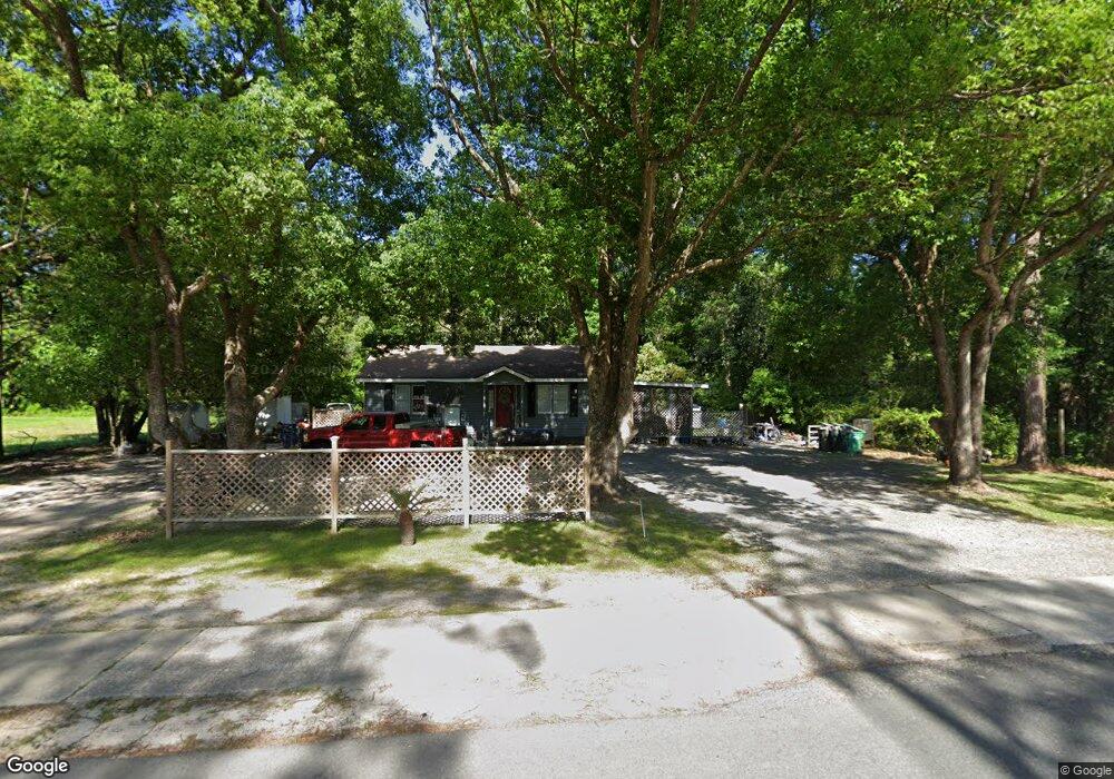
807 Brewster Ave Woodbine, GA 31569
Estimated Value: $63,000 - $194,000
2
Beds
1
Bath
900
Sq Ft
$154/Sq Ft
Est. Value
About This Home
This home is located at 807 Brewster Ave, Woodbine, GA 31569 and is currently estimated at $138,506, approximately $153 per square foot. 807 Brewster Ave is a home located in Camden County with nearby schools including Woodbine Elementary School, Camden Middle School, and Camden County High School.
Ownership History
Date
Name
Owned For
Owner Type
Purchase Details
Closed on
Jun 5, 2009
Sold by
Waldron Daniel Gordon
Bought by
Porter-Griffen Kari J
Current Estimated Value
Home Financials for this Owner
Home Financials are based on the most recent Mortgage that was taken out on this home.
Original Mortgage
$61,567
Outstanding Balance
$38,395
Interest Rate
4.77%
Mortgage Type
FHA
Estimated Equity
$100,111
Create a Home Valuation Report for This Property
The Home Valuation Report is an in-depth analysis detailing your home's value as well as a comparison with similar homes in the area
Purchase History
| Date | Buyer | Sale Price | Title Company |
|---|---|---|---|
| Porter-Griffen Kari J | $63,800 | -- |
Source: Public Records
Mortgage History
| Date | Status | Borrower | Loan Amount |
|---|---|---|---|
| Open | Porter-Griffen Kari J | $61,567 |
Source: Public Records
Tax History
| Year | Tax Paid | Tax Assessment Tax Assessment Total Assessment is a certain percentage of the fair market value that is determined by local assessors to be the total taxable value of land and additions on the property. | Land | Improvement |
|---|---|---|---|---|
| 2025 | $996 | $34,634 | $7,200 | $27,434 |
| 2024 | $1,041 | $34,634 | $7,200 | $27,434 |
| 2023 | $992 | $31,970 | $4,536 | $27,434 |
| 2022 | $814 | $26,670 | $4,536 | $22,134 |
| 2021 | $726 | $22,498 | $4,536 | $17,962 |
| 2020 | $719 | $21,671 | $4,536 | $17,135 |
| 2019 | $725 | $21,671 | $4,536 | $17,135 |
| 2018 | $651 | $21,671 | $4,536 | $17,135 |
| 2017 | $615 | $19,875 | $4,536 | $15,339 |
| 2016 | $611 | $19,977 | $4,536 | $15,441 |
| 2015 | $593 | $19,976 | $4,536 | $15,441 |
| 2014 | $598 | $20,244 | $4,802 | $15,441 |
Source: Public Records
Map
Nearby Homes
- 125 Settlers Trail
- LOT 125 Settlers Trail
- LOT 127 Settlers Trail
- 300 Crestview Dr
- 110 Canoe Run
- 111 Canoe Run
- LOT 2 Saint Andrews Way
- V/L Lot 104 Satilla River Landing
- 705 Bedell Ave
- 7 Saint Andrews Way
- 203 E 5th St
- 1000 Bedell Ave
- 2 Saint Andrews Way
- 205 W 3rd St
- 1700 Camden Ave
- 727 W 3rd St
- 1330 Georgia 110
- 316 Herrin Rd
- 184 Herrin Rd
- 136 Herrin Rd
- 835 Brewster Ave
- 901 Brewster Ave
- 805 Brewster Ave
- LOT 8 Broadwood Rd
- 803 Broadwood Dr
- 800 Brewster Ave
- 000 Tenth St
- 593 Broadwood Dr
- 412 E 10th St
- 10th St Spur 25
- 209 Halifax Dr
- 201 North Dr
- 207 Halifax Dr
- 205 Halifax Dr
- 203 Halifax Dr
- 201 Halifax Dr
- 435 Northshore
- 109 North Dr
- 112 Settlers Trail
- 208 Halifax Dr
Your Personal Tour Guide
Ask me questions while you tour the home.