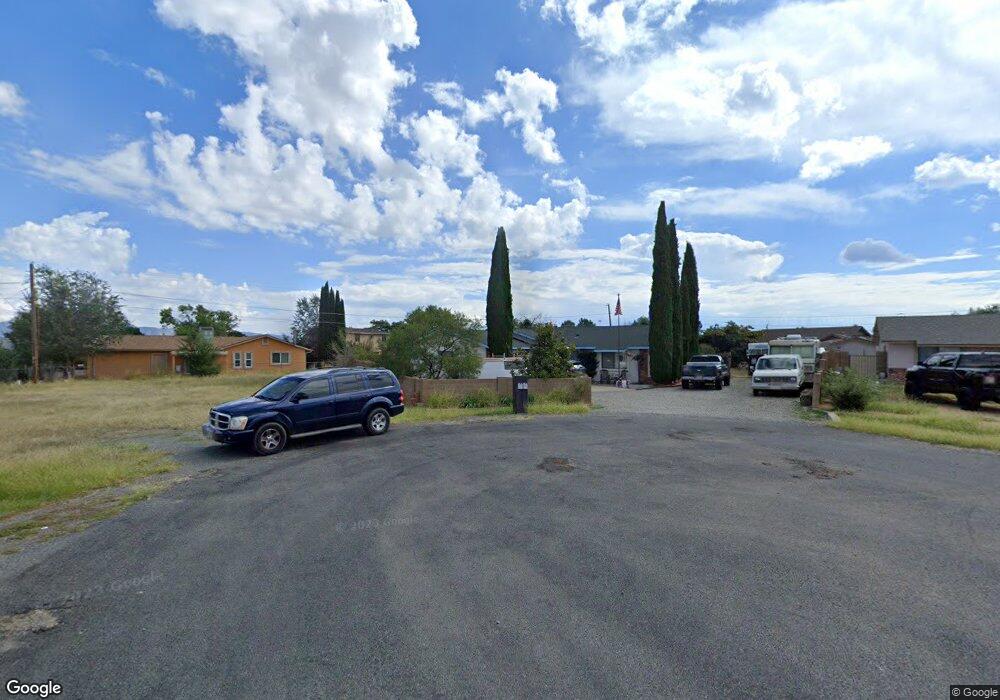
8079 E Candy Cir Prescott Valley, AZ 86314
Estimated Value: $314,509 - $404,000
Studio
--
Bath
1,319
Sq Ft
$280/Sq Ft
Est. Value
About This Home
This home is located at 8079 E Candy Cir, Prescott Valley, AZ 86314 and is currently estimated at $369,377, approximately $280 per square foot. 8079 E Candy Cir is a home located in Yavapai County with nearby schools including Granville Elementary School, Bradshaw Mountain Middle School, and Bradshaw Mountain High School.
Ownership History
Date
Name
Owned For
Owner Type
Purchase Details
Closed on
Jun 2, 1994
Sold by
Bulock Clyde O and Bulock Priscilla R
Bought by
Pauley Rickey G and Pauley Sandra R
Current Estimated Value
Home Financials for this Owner
Home Financials are based on the most recent Mortgage that was taken out on this home.
Original Mortgage
$59,000
Interest Rate
8.65%
Mortgage Type
Assumption
Create a Home Valuation Report for This Property
The Home Valuation Report is an in-depth analysis detailing your home's value as well as a comparison with similar homes in the area
Purchase History
| Date | Buyer | Sale Price | Title Company |
|---|---|---|---|
| Pauley Rickey G | $84,500 | Capital Title Agency |
Source: Public Records
Mortgage History
| Date | Status | Borrower | Loan Amount |
|---|---|---|---|
| Previous Owner | Pauley Rickey G | $59,000 |
Source: Public Records
Tax History
| Year | Tax Paid | Tax Assessment Tax Assessment Total Assessment is a certain percentage of the fair market value that is determined by local assessors to be the total taxable value of land and additions on the property. | Land | Improvement |
|---|---|---|---|---|
| 2026 | $1,421 | $30,545 | -- | -- |
| 2024 | $1,303 | $35,486 | -- | -- |
| 2023 | $1,303 | $29,818 | $0 | $0 |
| 2022 | $1,281 | $23,947 | $3,080 | $20,867 |
| 2021 | $1,339 | $22,206 | $3,028 | $19,178 |
| 2020 | $1,287 | $0 | $0 | $0 |
| 2019 | $1,271 | $0 | $0 | $0 |
| 2018 | $1,208 | $0 | $0 | $0 |
| 2017 | $1,185 | $0 | $0 | $0 |
| 2016 | $1,145 | $0 | $0 | $0 |
| 2015 | $1,128 | $0 | $0 | $0 |
| 2014 | -- | $0 | $0 | $0 |
Source: Public Records
Map
Nearby Homes
- 4148 N Jay Ct
- 4111 N Edith Ct
- 4501 N Tonto Way
- 4531 N Sauter Dr W
- 7801 E Paseo Hermoso
- 7855 E Larkspur Ln
- 7764 E Cocopah Dr
- 7866 E Siesta Ln
- 7869 E Spouse Dr
- 3965 N Robert Rd
- 7733 E Spouse Dr Unit A
- 7733 E Spouse Dr
- 7625 E Paseo Hermoso
- 3821 N Robin Dr
- 4351 N Romero Cir W
- 4616 N Granada Dr
- 547 N Vermillion Dr
- 7611 E Las Flores Ave
- 8537 E Ackland Dr
- 4517 N Katie Cir W
- 8057 E Candy Cir
- 4354 N Sauter Dr W
- 4360 N Sauter Dr W
- 8080 E Loos Dr
- 8064 E Loos Dr
- 4348 N Sauter Dr W
- 4348 N Sauter Dr W Unit 3
- 8100 E Loos Dr Unit 3
- 4301 N Miner Rd
- 8048 E Loos Dr
- 4273 N Miner Rd
- 4366 N Sauter Dr W
- 8058 E Candy Cir
- 8110 E Loos Dr
- 8110 E Loos Dr Unit 3
- 4315 N Miner Rd
- 4225 N Miner Rd
- 4372 N Sauter Dr W
- 4342 N Sauter Dr W
Your Personal Tour Guide
Ask me questions while you tour the home.