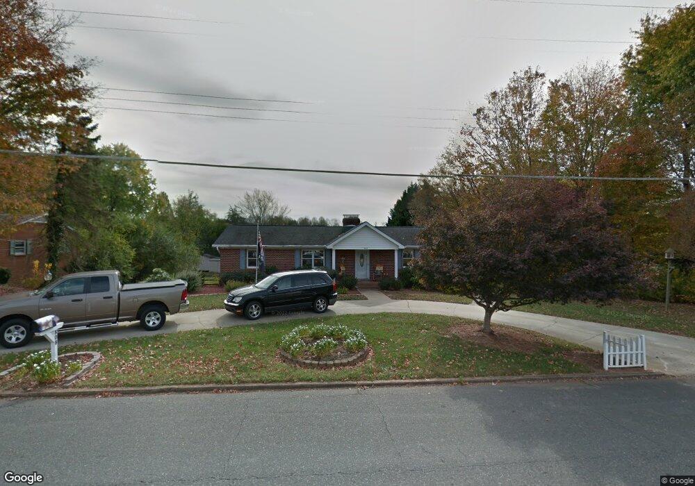
808 W Main St Unit STW Pilot Mountain, NC 27041
Estimated Value: $299,000 - $405,000
3
Beds
2
Baths
2,363
Sq Ft
$147/Sq Ft
Est. Value
About This Home
This home is located at 808 W Main St Unit STW, Pilot Mountain, NC 27041 and is currently estimated at $347,704, approximately $147 per square foot. 808 W Main St Unit STW is a home located in Surry County with nearby schools including Pilot Mountain Elementary School, Pilot Mountain Middle School, and East Surry High School.
Ownership History
Date
Name
Owned For
Owner Type
Purchase Details
Closed on
Sep 30, 2024
Sold by
Cook Diane M
Bought by
Dmc Ditto Revocable Living Trust and Cook
Current Estimated Value
Purchase Details
Closed on
Oct 5, 2010
Sold by
Jeffries Ronald F and Jeffries Mary Alice
Bought by
Cook William A and Cook Diane M
Home Financials for this Owner
Home Financials are based on the most recent Mortgage that was taken out on this home.
Original Mortgage
$152,910
Interest Rate
4.39%
Mortgage Type
VA
Create a Home Valuation Report for This Property
The Home Valuation Report is an in-depth analysis detailing your home's value as well as a comparison with similar homes in the area
Purchase History
| Date | Buyer | Sale Price | Title Company |
|---|---|---|---|
| Dmc Ditto Revocable Living Trust | -- | None Listed On Document | |
| Cook William A | $170,000 | None Available |
Source: Public Records
Mortgage History
| Date | Status | Borrower | Loan Amount |
|---|---|---|---|
| Previous Owner | Cook William A | $152,910 |
Source: Public Records
Tax History
| Year | Tax Paid | Tax Assessment Tax Assessment Total Assessment is a certain percentage of the fair market value that is determined by local assessors to be the total taxable value of land and additions on the property. | Land | Improvement |
|---|---|---|---|---|
| 2025 | $2,211 | $238,180 | $32,500 | $205,680 |
| 2024 | $1,607 | $179,330 | $32,500 | $146,830 |
| 2023 | $742 | $179,330 | $32,500 | $146,830 |
| 2022 | $1,577 | $179,330 | $32,500 | $146,830 |
| 2021 | $1,607 | $179,330 | $32,500 | $146,830 |
| 2020 | $1,518 | $168,550 | $32,500 | $136,050 |
| 2019 | $1,515 | $168,550 | $0 | $0 |
| 2018 | $1,486 | $168,550 | $0 | $0 |
| 2017 | $1,512 | $168,550 | $0 | $0 |
| 2016 | $2,048 | $168,550 | $0 | $0 |
| 2013 | -- | $171,540 | $0 | $0 |
Source: Public Records
Map
Nearby Homes
- 812 W Main St
- 827 Dodson Mill Rd
- 122 Northview Dr
- 710 Saddle Dr
- 950 Dodson Mill Rd
- 267 S Boyles St
- 713 Old Barn Cir
- 260 S Boyles St
- 0 N Carolina 268
- 204 Freeman Ridge Trail
- 0 Heatherly Creek Dr
- 482 Carson Rd
- 0 S Key St
- TBD Golf Course Rd
- 528 E Main St
- 00 Whitaker Chapel Rd Unit 2
- 00 Whitaker Chapel Rd Unit 1
- 00 Whitaker Chapel Rd Unit 10
- 624 E 52 Bypass
- 765 Golf Course Rd
- 808 W Main St
- 00 W Main St
- 800 W Main St Unit STW
- 887 Simmons St
- 886 Simmons St
- 807 Sunset Dr
- 816 W Main St Unit STW
- 730 W Main St
- 715 Sunset Dr
- 813 Sunset Dr
- 822 W Main St
- 817 Sunset Dr
- 823 W Main St Unit STW
- 711 Sunset Dr
- 806 Sunset Dr
- 810 Sunset Dr
- 802 Sunset Dr
- 722 W Main St
- 814 Sunset Dr
- 707 Sunset Dr
Your Personal Tour Guide
Ask me questions while you tour the home.