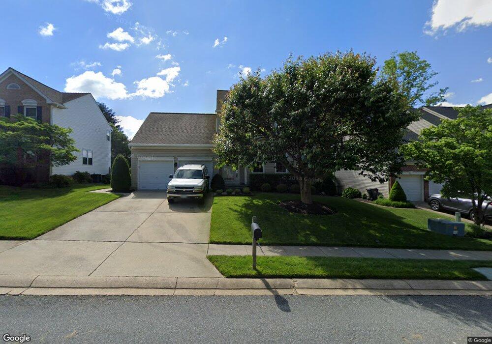
809 High Plain Dr Bel Air, MD 21014
Estimated Value: $424,000 - $521,000
Studio
3
Baths
1,704
Sq Ft
$269/Sq Ft
Est. Value
About This Home
This home is located at 809 High Plain Dr, Bel Air, MD 21014 and is currently estimated at $458,270, approximately $268 per square foot. 809 High Plain Dr is a home located in Harford County with nearby schools including Homestead-Wakefield Elementary School, Bel Air Middle School, and Bel Air High School.
Ownership History
Date
Name
Owned For
Owner Type
Purchase Details
Closed on
May 24, 2002
Sold by
Frerotte Jay M
Bought by
Townsend Douglas C and Townsend Denise L
Current Estimated Value
Purchase Details
Closed on
Nov 10, 1999
Sold by
Frerotte Sr Jay M
Bought by
Frerotte Jay M and Frerotte Susan L
Purchase Details
Closed on
May 27, 1999
Sold by
Security Management Corp
Bought by
Frerotte Sr Jay M and Frerotte Susan L
Create a Home Valuation Report for This Property
The Home Valuation Report is an in-depth analysis detailing your home's value as well as a comparison with similar homes in the area
Home Values in the Area
Average Home Value in this Area
Purchase History
| Date | Buyer | Sale Price | Title Company |
|---|---|---|---|
| Townsend Douglas C | $184,500 | -- | |
| Frerotte Jay M | -- | -- | |
| Frerotte Sr Jay M | $164,160 | -- |
Source: Public Records
Mortgage History
| Date | Status | Borrower | Loan Amount |
|---|---|---|---|
| Closed | Frerotte Sr Jay M | -- |
Source: Public Records
Tax History
| Year | Tax Paid | Tax Assessment Tax Assessment Total Assessment is a certain percentage of the fair market value that is determined by local assessors to be the total taxable value of land and additions on the property. | Land | Improvement |
|---|---|---|---|---|
| 2025 | $3,860 | $392,100 | $93,200 | $298,900 |
| 2024 | $3,669 | $368,000 | $0 | $0 |
| 2023 | $3,669 | $343,900 | $0 | $0 |
| 2022 | $3,486 | $319,800 | $93,200 | $226,600 |
| 2021 | $0 | $308,400 | $0 | $0 |
| 2020 | $3,427 | $297,000 | $0 | $0 |
| 2019 | $3,296 | $285,600 | $112,000 | $173,600 |
| 2018 | $3,210 | $280,700 | $0 | $0 |
| 2017 | $3,154 | $285,600 | $0 | $0 |
| 2016 | $140 | $270,900 | $0 | $0 |
| 2015 | $3,118 | $267,400 | $0 | $0 |
| 2014 | $3,118 | $263,900 | $0 | $0 |
Source: Public Records
Map
Nearby Homes
- 814 High Plain Dr
- 804 Kilber Ct
- 1049 Sansa Ct
- 604 Fox Bow Dr
- 637 Iron Gate Rd
- 737 Iron Gate Rd
- 699 Iron Gate Rd
- 731 Shady Creek Ct
- 614 Camelot Dr
- 116 Hibiscus Ct
- 724 Montravel Ct
- 202 Regent Dr
- 1500 S Tollgate Rd
- 606 Squire Ln Unit G
- 606 Squire Ln Unit 606-A
- 0 Winter Park Rd
- 601 Thames Way Unit E
- 600 Squire Ln Unit 2B
- 603 Churchhill Rd Unit 603-C
- 608 E Churchill Rd Unit 608E
- 807 High Plain Dr
- 813 High Plain Dr
- 805 High Plain Dr
- 810 Litchfield Cir
- 808 Litchfield Cir
- 812 Litchfield Cir
- 806 Litchfield Cir
- 808 High Plain Dr
- 814 Litchfield Cir
- 815 High Plain Dr
- 810 High Plain Dr
- 806 High Plain Dr
- 803 High Plain Dr
- 812 High Plain Dr
- 816 Litchfield Cir
- 804 Litchfield Cir
- 804 High Plain Dr
- 817 High Plain Dr
- 802 High Plain Dr
- 801 High Plain Dr
Your Personal Tour Guide
Ask me questions while you tour the home.