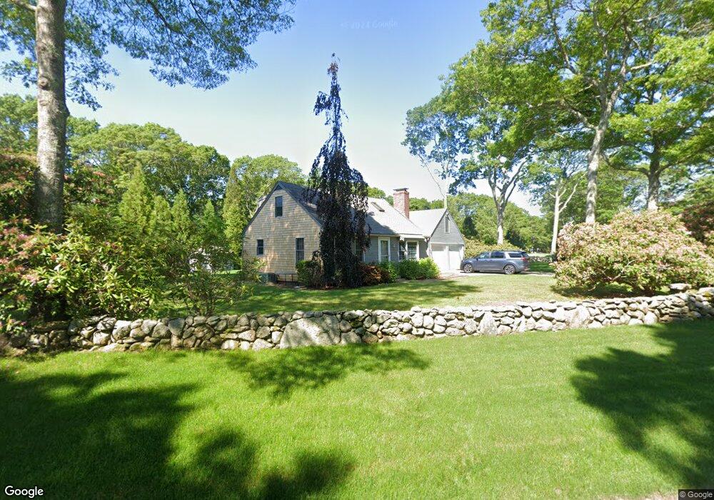
81 Blackthorn Rd Marstons Mills, MA 02648
Marstons Mills NeighborhoodEstimated Value: $577,064 - $683,000
3
Beds
2
Baths
1,201
Sq Ft
$523/Sq Ft
Est. Value
About This Home
This home is located at 81 Blackthorn Rd, Marstons Mills, MA 02648 and is currently estimated at $628,016, approximately $522 per square foot. 81 Blackthorn Rd is a home located in Barnstable County with nearby schools including Barnstable United Elementary School, West Barnstable Elementary School, and Barnstable Intermediate School.
Ownership History
Date
Name
Owned For
Owner Type
Purchase Details
Closed on
Mar 25, 2026
Sold by
Wing David and Wing Jones Philip
Bought by
David A Wing Ret and Wing
Current Estimated Value
Purchase Details
Closed on
May 15, 2020
Sold by
Wing David
Bought by
Wing David and Wing Jones P
Purchase Details
Closed on
Jan 29, 1996
Sold by
Osullivan Edward and Shea Mary C
Bought by
Wing David
Home Financials for this Owner
Home Financials are based on the most recent Mortgage that was taken out on this home.
Original Mortgage
$95,900
Interest Rate
7.13%
Mortgage Type
Purchase Money Mortgage
Create a Home Valuation Report for This Property
The Home Valuation Report is an in-depth analysis detailing your home's value as well as a comparison with similar homes in the area
Home Values in the Area
Average Home Value in this Area
Purchase History
We collect this data history from publicly available records. To have your information removed, we recommend requesting removal directly through your county’s website.
| Date | Buyer | Sale Price | Title Company |
|---|---|---|---|
| David A Wing Ret | -- | -- | |
| Wing David | -- | None Available | |
| Wing David | $119,000 | -- |
Source: Public Records
Mortgage History
We collect this data history from publicly available records. To have your information removed, we recommend requesting removal directly through your county’s website.
| Date | Status | Borrower | Loan Amount |
|---|---|---|---|
| Previous Owner | Wing David | $95,900 |
Source: Public Records
Tax History
| Year | Tax Paid | Tax Assessment Tax Assessment Total Assessment is a certain percentage of the fair market value that is determined by local assessors to be the total taxable value of land and additions on the property. | Land | Improvement |
|---|---|---|---|---|
| 2025 | $4,295 | $530,900 | $156,200 | $374,700 |
| 2024 | $4,005 | $512,800 | $156,200 | $356,600 |
| 2023 | $3,819 | $457,900 | $142,000 | $315,900 |
| 2022 | $3,597 | $373,100 | $105,200 | $267,900 |
| 2021 | $6,610 | $336,200 | $105,200 | $231,000 |
| 2020 | $3,594 | $327,900 | $105,200 | $222,700 |
| 2019 | $6,461 | $307,400 | $105,200 | $202,200 |
| 2018 | $6,085 | $287,000 | $110,700 | $176,300 |
| 2017 | $2,931 | $272,400 | $110,700 | $161,700 |
| 2016 | $2,980 | $273,400 | $111,700 | $161,700 |
| 2015 | $2,872 | $264,700 | $109,300 | $155,400 |
Source: Public Records
Map
Nearby Homes
- 303 Turtleback Rd
- 16 Newtown Rd
- 1 Katies Way
- 10 Race Ln
- 981 River Rd
- 34 Newtown Rd
- 3 Ground Cover Ln
- 10 Hunter's Trail
- 47 Stoney Pond Cir
- 10 Wintergreen Ln
- 12 Highview Cir
- 2 Open Space Dr
- 18 Lakeview Dr
- 4 Tamarack Ln
- 3 Glenwood Ln
- 1 Ravens Nest
- 114 Long Pond Rd
- 17 Claus Way
- 45 Eastview Terrace
- 244 Wakeby Rd
- 76 Blackthorn Rd
- 88 Blackthorn Rd
- 101 Blackthorn Rd
- 64 Blackthorn Rd
- 59 Blackthorn Rd
- 100 Blackthorn Rd
- 113 Blackthorn Rd
- 41 Blackthorn Rd
- 114 Blackthorn Rd
- 52 Blackthorn Rd
- 34 Pebble Path
- 18 Pebble Path
- 37 Fleetwood Path
- 46 Pebble Path
- 49 Fleetwood Path
- 86 Jones Rd
- 64 Jones Rd
- 100 Jones Rd
- 40 Blackthorn Rd
- 25 Fleetwood Path
Your Personal Tour Guide
Ask me questions while you tour the home.