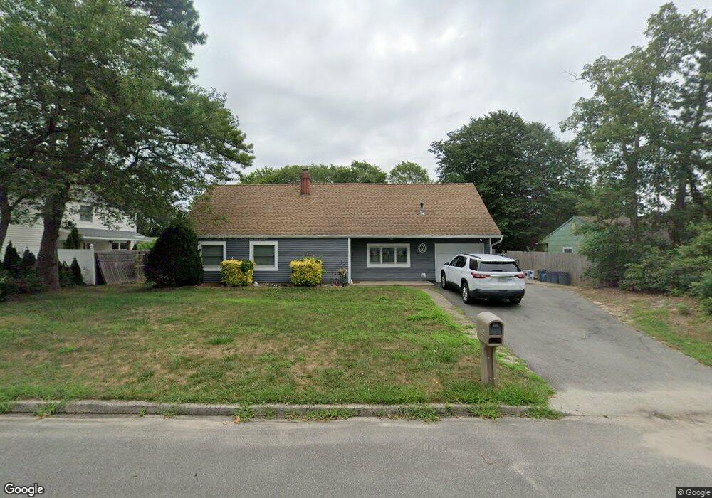
81 Corbin Ave East Patchogue, NY 11772
Estimated Value: $552,000 - $592,000
4
Beds
2
Baths
1,570
Sq Ft
$364/Sq Ft
Est. Value
About This Home
This home is located at 81 Corbin Ave, East Patchogue, NY 11772 and is currently estimated at $571,363, approximately $363 per square foot. 81 Corbin Ave is a home located in Suffolk County with nearby schools including Frank P Long Intermediate School, Bellport Middle School, and Bellport Senior High School.
Ownership History
Date
Name
Owned For
Owner Type
Purchase Details
Closed on
Nov 9, 2017
Sold by
Klett Lawrence and Klett Eileen
Bought by
Pannhurst Adam and Pannhurst Nicole M
Current Estimated Value
Home Financials for this Owner
Home Financials are based on the most recent Mortgage that was taken out on this home.
Original Mortgage
$240,000
Outstanding Balance
$196,715
Interest Rate
3.91%
Mortgage Type
New Conventional
Estimated Equity
$374,648
Purchase Details
Closed on
Nov 2, 1999
Sold by
Jurkschat Donald and Jurkschat Bonnie J
Bought by
Klett Lawrence and Klett Eileen E
Home Financials for this Owner
Home Financials are based on the most recent Mortgage that was taken out on this home.
Original Mortgage
$108,000
Interest Rate
7.68%
Create a Home Valuation Report for This Property
The Home Valuation Report is an in-depth analysis detailing your home's value as well as a comparison with similar homes in the area
Home Values in the Area
Average Home Value in this Area
Purchase History
| Date | Buyer | Sale Price | Title Company |
|---|---|---|---|
| Pannhurst Adam | $300,000 | -- | |
| Klett Lawrence | $135,000 | -- |
Source: Public Records
Mortgage History
| Date | Status | Borrower | Loan Amount |
|---|---|---|---|
| Open | Pannhurst Adam | $240,000 | |
| Previous Owner | Klett Lawrence | $108,000 |
Source: Public Records
Tax History
| Year | Tax Paid | Tax Assessment Tax Assessment Total Assessment is a certain percentage of the fair market value that is determined by local assessors to be the total taxable value of land and additions on the property. | Land | Improvement |
|---|---|---|---|---|
| 2024 | $8,998 | $2,350 | $250 | $2,100 |
| 2023 | $8,998 | $2,350 | $250 | $2,100 |
| 2022 | $7,455 | $2,350 | $250 | $2,100 |
| 2021 | $7,455 | $2,140 | $250 | $1,890 |
| 2020 | $7,701 | $2,140 | $250 | $1,890 |
| 2019 | $7,701 | $0 | $0 | $0 |
| 2018 | $6,988 | $2,140 | $250 | $1,890 |
| 2017 | $6,988 | $2,140 | $250 | $1,890 |
| 2016 | $6,963 | $2,140 | $250 | $1,890 |
| 2015 | -- | $2,140 | $250 | $1,890 |
| 2014 | -- | $2,600 | $250 | $2,350 |
Source: Public Records
Map
Nearby Homes
- 21 Apple Blossom Ln
- 84 Corbin Ave
- 11 Frost Valley Dr
- 4 Mercury Ave
- 40 Mercury Ave
- 917 Sipp Ave
- 36 Narragansett Ave
- 38 Camille Ln
- 5 Denise Dr
- New construction Kyle St
- 9 Meadow Ave
- 99 Rustic Ave
- 139 Tarpon Ave
- 15 Drake Ave
- 22 Forte Ave
- 140 Oak St
- 129 Norwalk Ave Unit A
- 9 Norway Pine Dr
- 12 Ormand Ave
- 360 Woodside Ave
Your Personal Tour Guide
Ask me questions while you tour the home.