81 Deerridge Rd Sarver, PA 16055
Estimated Value: $362,000 - $785,327
4
Beds
3
Baths
3,538
Sq Ft
$162/Sq Ft
Est. Value
About This Home
This home is located at 81 Deerridge Rd, Sarver, PA 16055 and is currently estimated at $573,664, approximately $162 per square foot. 81 Deerridge Rd is a home with nearby schools including South Buffalo Elementary School and Freeport Area Senior High School.
Ownership History
Date
Name
Owned For
Owner Type
Purchase Details
Closed on
Sep 30, 2011
Bought by
Bender Michael Brian
Current Estimated Value
Home Financials for this Owner
Home Financials are based on the most recent Mortgage that was taken out on this home.
Original Mortgage
$88,800
Interest Rate
3.62%
Mortgage Type
Assumption
Create a Home Valuation Report for This Property
The Home Valuation Report is an in-depth analysis detailing your home's value as well as a comparison with similar homes in the area
Home Values in the Area
Average Home Value in this Area
Purchase History
We collect this data history from publicly available records. To have your information removed, we recommend requesting removal directly through your county’s website.
| Date | Buyer | Sale Price | Title Company |
|---|---|---|---|
| Bender Michael Brian | $111,000 | -- | |
| Bender Michael Brian | $111,000 | Northwood Settlement Service |
Source: Public Records
Mortgage History
We collect this data history from publicly available records. To have your information removed, we recommend requesting removal directly through your county’s website.
| Date | Status | Borrower | Loan Amount |
|---|---|---|---|
| Previous Owner | Bender Michael Brian | $88,800 |
Source: Public Records
Tax History
| Year | Tax Paid | Tax Assessment Tax Assessment Total Assessment is a certain percentage of the fair market value that is determined by local assessors to be the total taxable value of land and additions on the property. | Land | Improvement |
|---|---|---|---|---|
| 2025 | $13,884 | $151,690 | $80,780 | $70,910 |
| 2024 | $13,911 | $151,690 | $80,780 | $70,910 |
| 2023 | $10,456 | $151,690 | $80,780 | $70,910 |
| 2022 | $10,456 | $151,690 | $80,780 | $70,910 |
| 2021 | $10,271 | $151,690 | $80,780 | $70,910 |
| 2020 | $10,271 | $151,690 | $80,780 | $70,910 |
| 2019 | $10,052 | $151,690 | $80,780 | $70,910 |
| 2018 | $10,052 | $115,405 | $14,100 | $101,305 |
| 2017 | $9,913 | $151,690 | $80,780 | $70,910 |
| 2016 | $9,636 | $151,690 | $80,780 | $70,910 |
| 2015 | -- | $151,690 | $80,780 | $70,910 |
| 2014 | -- | $2,330 | $2,330 | $0 |
Source: Public Records
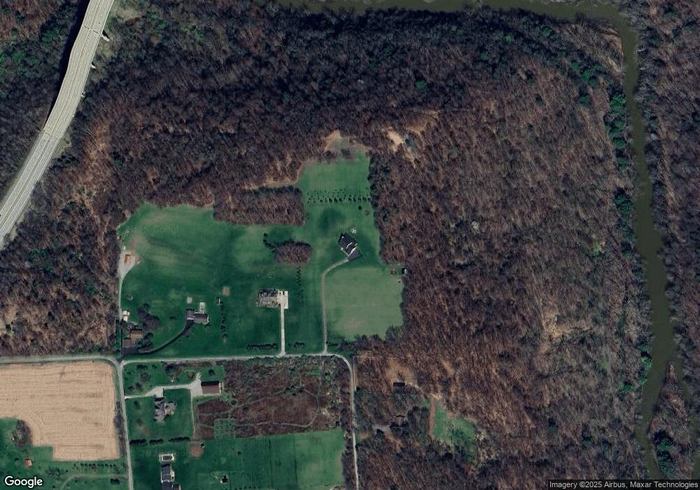
Map
Nearby Homes
- 499 Freeport Rd
- 129 Ridgecrest Dr
- 142 Community Park Rd
- 1261 Sandy Ridge Dr
- 1132 Sandy Ridge Dr
- 159 Washington St
- 125 Washington St
- 331 4th St
- 138 Woodhaven Dr
- 1254 Sandy Ridge Dr
- Lot #2 Woodhaven Dr
- Lot #1 Woodhaven Dr
- 1244 Sandy Ridge Dr
- 525 Franklin St
- 542 Franklin St
- 518 Franklin St
- 321 2nd St
- 110 RR Kiski Camp Dr
- Lot 2R Parker Rd
- 102 Bristlecone Ct
- 75 Deerridge Rd
- 101 Deerridge Rd
- 252 Ralston Rd
- 250 Ralston Rd
- 258 Ralston Rd
- 254 Ralston Rd
- Lot 2 Deer Ridge Rd
- 260 Ralston Rd
- 246 Ralston Rd
- 201 Deerridge Rd
- 240 Ralston Rd
- 301 Deerridge Rd
- 401 Deerridge Rd
- 501 Deerridge Rd
- 236 Ralston Rd
- 230 Ralston Rd
- 249 Ralston Rd
- 224 Ralston Rd
- 220 Ralston Rd
- 218 Ralston Rd
Your Personal Tour Guide
Ask me questions while you tour the home.