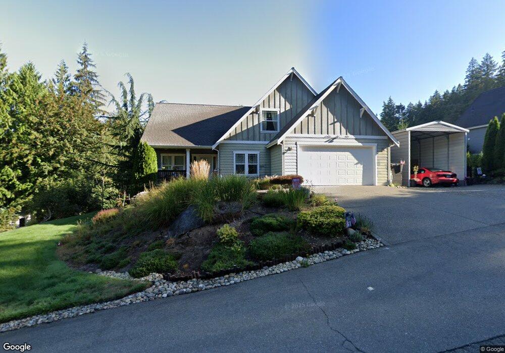
81 E Cedar St Belfair, WA 98528
Estimated Value: $466,529 - $705,000
3
Beds
3
Baths
1,955
Sq Ft
$292/Sq Ft
Est. Value
About This Home
This home is located at 81 E Cedar St, Belfair, WA 98528 and is currently estimated at $571,132, approximately $292 per square foot. 81 E Cedar St is a home located in Mason County with nearby schools including North Mason Senior High School.
Ownership History
Date
Name
Owned For
Owner Type
Purchase Details
Closed on
Mar 22, 2013
Sold by
Stoner Charles W and Stoner Ora
Bought by
Ruckman Teresa L
Current Estimated Value
Home Financials for this Owner
Home Financials are based on the most recent Mortgage that was taken out on this home.
Original Mortgage
$229,540
Outstanding Balance
$161,613
Interest Rate
3.49%
Mortgage Type
New Conventional
Estimated Equity
$409,519
Purchase Details
Closed on
Oct 23, 2007
Sold by
Jack Johnson Construction Inc
Bought by
Stoner Charles W and Stoner Ora
Create a Home Valuation Report for This Property
The Home Valuation Report is an in-depth analysis detailing your home's value as well as a comparison with similar homes in the area
Purchase History
| Date | Buyer | Sale Price | Title Company |
|---|---|---|---|
| Ruckman Teresa L | $224,950 | Land Title Co | |
| Stoner Charles W | $269,950 | Land Title Co |
Source: Public Records
Mortgage History
| Date | Status | Borrower | Loan Amount |
|---|---|---|---|
| Open | Ruckman Teresa L | $229,540 |
Source: Public Records
Tax History
| Year | Tax Paid | Tax Assessment Tax Assessment Total Assessment is a certain percentage of the fair market value that is determined by local assessors to be the total taxable value of land and additions on the property. | Land | Improvement |
|---|---|---|---|---|
| 2025 | $2,639 | $412,610 | $40,575 | $372,035 |
| 2023 | $2,639 | $358,470 | $34,725 | $323,745 |
| 2022 | $3,474 | $380,085 | $34,375 | $345,710 |
| 2021 | $3,458 | $380,085 | $34,375 | $345,710 |
| 2020 | $3,438 | $386,225 | $43,615 | $342,610 |
| 2018 | $3,218 | $276,975 | $38,660 | $238,315 |
| 2017 | $2,879 | $276,805 | $38,490 | $238,315 |
| 2016 | $2,615 | $253,305 | $36,655 | $216,650 |
| 2015 | $2,561 | $231,920 | $40,050 | $191,870 |
| 2014 | -- | $223,930 | $41,850 | $182,080 |
| 2013 | -- | $216,705 | $40,500 | $176,205 |
Source: Public Records
Map
Nearby Homes
- 61 E Ellinor Peak Place
- 17871 E State Route 106
- 6 Track Rimstone Loop
- 10 Track Rimstone Loop
- 7 Track Rimstone Loop
- 11 Track Rimstone Loop
- 2 Track Rimstone Loop
- 3 Track Rimstone Loop
- 9 Track Rimstone Loop
- 1104 E Alderwood Rd
- 18220 E State Route 106
- 18280 E State Route 106
- 16901 E State Route 106
- 323 E Alderwood Rd
- 91 E Tepee Ln
- 30 E Richardson Rd
- 101 NE Lynnwood Loop
- 1 Parcel E Johnson Ridge Dr
- 7 Parcel E Johnson Ridge Dr
- 150 NE Dulalip Landing
- 41 E Cedar St
- 0 Xxx E Nightingale Place
- 111 E Cedar St
- 80 E Cedar St
- 50 E Nightingale Place
- 61 E Nightingale Place
- 45 E Ellinor Peak Place
- 110 E Cedar St
- 0 0 St Unit NWM2335143
- 131 E Cedar St
- 47 E Ellinor Peak Place
- 43 Ellinor Place
- 41 E Nightingale Place
- 70 E Olympic View St
- 130 E Cedar St
- 91 E Olympic View St
- 21 E Nightingale Place
- 141 E Cedar St
- 21 E Nightingale Place
- 90 E Olympic View St
Your Personal Tour Guide
Ask me questions while you tour the home.