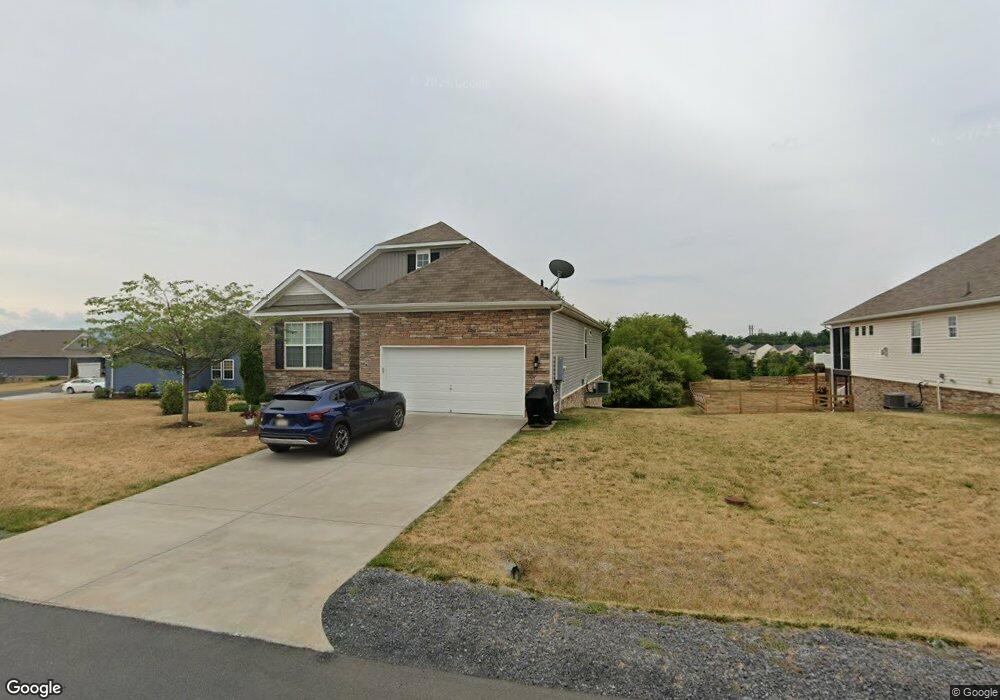
81 Flagstick Ct Front Royal, VA 22630
Estimated Value: $442,000 - $594,000
4
Beds
2
Baths
1,675
Sq Ft
$300/Sq Ft
Est. Value
About This Home
This home is located at 81 Flagstick Ct, Front Royal, VA 22630 and is currently estimated at $502,719, approximately $300 per square foot. 81 Flagstick Ct is a home located in Warren County with nearby schools including Leslie Fox Keyser Elementary School and Warren County High School.
Ownership History
Date
Name
Owned For
Owner Type
Purchase Details
Closed on
May 25, 2018
Sold by
D R Horton Inc
Bought by
Cook Matthew J and Cook Natalie M
Current Estimated Value
Home Financials for this Owner
Home Financials are based on the most recent Mortgage that was taken out on this home.
Original Mortgage
$89,735
Outstanding Balance
$76,259
Interest Rate
4.4%
Mortgage Type
New Conventional
Estimated Equity
$426,460
Create a Home Valuation Report for This Property
The Home Valuation Report is an in-depth analysis detailing your home's value as well as a comparison with similar homes in the area
Home Values in the Area
Average Home Value in this Area
Purchase History
We collect this data history from publicly available records. To have your information removed, we recommend requesting removal directly through your county’s website.
| Date | Buyer | Sale Price | Title Company |
|---|---|---|---|
| Cook Matthew J | $339,735 | Fidelity National Title Comp |
Source: Public Records
Mortgage History
We collect this data history from publicly available records. To have your information removed, we recommend requesting removal directly through your county’s website.
| Date | Status | Borrower | Loan Amount |
|---|---|---|---|
| Open | Cook Matthew J | $89,735 |
Source: Public Records
Tax History
| Year | Tax Paid | Tax Assessment Tax Assessment Total Assessment is a certain percentage of the fair market value that is determined by local assessors to be the total taxable value of land and additions on the property. | Land | Improvement |
|---|---|---|---|---|
| 2026 | $2,155 | $449,800 | $67,800 | $382,000 |
| 2025 | $2,155 | $449,800 | $67,800 | $382,000 |
| 2024 | $2,526 | $476,600 | $86,300 | $390,300 |
| 2023 | $2,335 | $476,600 | $86,300 | $390,300 |
| 2022 | $2,126 | $324,600 | $75,000 | $249,600 |
| 2021 | $2,126 | $324,600 | $75,000 | $249,600 |
| 2020 | $2,126 | $324,600 | $75,000 | $249,600 |
| 2019 | $2,126 | $324,600 | $75,000 | $249,600 |
| 2018 | $330 | $50,000 | $50,000 | $0 |
| 2017 | $325 | $50,000 | $50,000 | $0 |
| 2016 | $310 | $50,000 | $50,000 | $0 |
| 2015 | -- | $50,000 | $50,000 | $0 |
| 2014 | -- | $45,000 | $45,000 | $0 |
Source: Public Records
Map
Nearby Homes
- 18 Albatross Ct
- 60 Niblick Square
- 21 Sand Bunker Ct
- 171 Hospitality Dr
- 0 Hospitality Unit VAWR2013410
- 49 Oldt Dr
- 167 Cedar Park Ct
- 43 Little Sorrel Dr
- 386 Ashby Station Rd
- 76 Katie Ln
- 836 Bennys Beach Rd
- 4 Jackson Place
- 714 Bennys Beach Rd
- Lot 19 River Bluff Dr
- 198 Spruce Rd
- 0 Pin Oak Rd Unit VAWR2006146
- 215 Harris Dr
- 0 Locust Grove Rd Unit VAWR2014196
- 23 Cherrywood Rd
- 192 Locust Grove Rd
Your Personal Tour Guide
Ask me questions while you tour the home.