81 Townsend Rd Wanaque, NJ 07465
Estimated Value: $748,000 - $942,000
About This Home
This home is located at 81 Townsend Rd, Wanaque, NJ 07465 and is currently estimated at $822,150, approximately $210 per square foot. 81 Townsend Rd is a home located in Passaic County with nearby schools including Lakeland Regional High School.
Ownership History
We collect this data history from publicly available records. To have your information removed, we recommend requesting removal directly through your county’s website.
Purchase Details
Purchase Details
Home Financials for this Owner
Home Financials are based on the most recent Mortgage that was taken out on this home.Purchase Details
Home Financials for this Owner
Home Financials are based on the most recent Mortgage that was taken out on this home.Purchase Details
Home Financials for this Owner
Home Financials are based on the most recent Mortgage that was taken out on this home.Home Values in the Area
Average Home Value in this Area
Purchase History
We collect this data history from publicly available records. To have your information removed, we recommend requesting removal directly through your county’s website.
| Date | Buyer | Sale Price | Title Company |
|---|---|---|---|
| -- | Lawyers Title Ins Corp | ||
| $720,000 | -- | ||
| $140,000 | -- | ||
| $135,000 | -- |
Mortgage History
We collect this data history from publicly available records. To have your information removed, we recommend requesting removal directly through your county’s website.
| Date | Status | Borrower | Loan Amount |
|---|---|---|---|
| Open | $576,000 | ||
| Previous Owner | $138,855 | ||
| Previous Owner | $95,000 |
Tax History
We collect this data history from publicly available records. To have your information removed, we recommend requesting removal directly through your county’s website.
| Year | Tax Paid | Tax Assessment Tax Assessment Total Assessment is a certain percentage of the fair market value that is determined by local assessors to be the total taxable value of land and additions on the property. | Land | Improvement |
|---|---|---|---|---|
| 2025 | $20,465 | $474,500 | $139,400 | $335,100 |
| 2024 | $20,057 | $474,500 | $139,400 | $335,100 |
| 2022 | $19,635 | $474,500 | $139,400 | $335,100 |
| 2021 | $19,208 | $474,500 | $139,400 | $335,100 |
| 2020 | $18,994 | $474,500 | $139,400 | $335,100 |
| 2019 | $18,539 | $474,500 | $139,400 | $335,100 |
| 2018 | $18,173 | $474,500 | $139,400 | $335,100 |
| 2017 | $17,746 | $474,500 | $139,400 | $335,100 |
| 2016 | $17,310 | $474,500 | $139,400 | $335,100 |
| 2015 | $18,893 | $525,400 | $139,400 | $386,000 |
| 2014 | $18,520 | $525,400 | $139,400 | $386,000 |
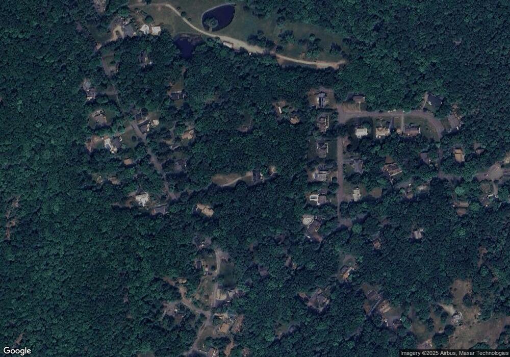
Map
- 2 Red Mine Rd
- 461 Westbrook Rd
- 461 W Brook Rd
- 219 Snake Den Rd
- 19 Fredericks St
- 47-49 Furnace Ave
- 558 Westbrook Rd
- 3 Terrace Ln
- 113 Meadowbrook Ave
- 532 Ringwood Ave
- 1 Brookside Heights Unit F
- 1F Brookside Heights Unit F
- 17 Canterbury Rd
- 84 Greenwood Lake Turnpike
- 3G Brookside Heights
- 33 Dena Dr Unit 33
- 33 Dena Dr
- 3 Brookside Heights Unit 3i
- 15B Brookside Heights Unit B
- 15B Brookside Heights Unit 15B
Ask me questions while you tour the home.