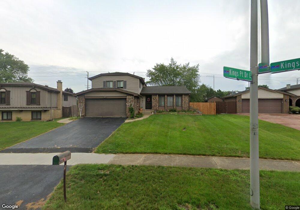
811 Kings Point Dr E Addison, IL 60101
Estimated Value: $450,957 - $493,000
About This Home
This home is located at 811 Kings Point Dr E, Addison, IL 60101 and is currently estimated at $465,239, approximately $244 per square foot. 811 Kings Point Dr E is a home located in DuPage County with nearby schools including Stone Elementary School, Indian Trail Jr High School, and Addison Trail High School.
Ownership History
We collect this data history from publicly available records. To have your information removed, we recommend requesting removal directly through your county’s website.
Purchase Details
Home Financials for this Owner
Home Financials are based on the most recent Mortgage that was taken out on this home.Home Values in the Area
Average Home Value in this Area
Purchase History
We collect this data history from publicly available records. To have your information removed, we recommend requesting removal directly through your county’s website.
| Date | Buyer | Sale Price | Title Company |
|---|---|---|---|
| $290,000 | Proper Title Llc |
Mortgage History
We collect this data history from publicly available records. To have your information removed, we recommend requesting removal directly through your county’s website.
| Date | Status | Borrower | Loan Amount |
|---|---|---|---|
| Closed | $244,785 | ||
| Closed | $275,000 | ||
| Closed | $40,000 |
Tax History
We collect this data history from publicly available records. To have your information removed, we recommend requesting removal directly through your county’s website.
| Year | Tax Paid | Tax Assessment Tax Assessment Total Assessment is a certain percentage of the fair market value that is determined by local assessors to be the total taxable value of land and additions on the property. | Land | Improvement |
|---|---|---|---|---|
| 2024 | $8,354 | $127,152 | $38,491 | $88,661 |
| 2023 | $7,929 | $116,280 | $35,200 | $81,080 |
| 2022 | $7,770 | $111,400 | $34,980 | $76,420 |
| 2021 | $7,382 | $105,840 | $33,230 | $72,610 |
| 2020 | $7,315 | $103,260 | $32,420 | $70,840 |
| 2019 | $7,284 | $99,230 | $31,150 | $68,080 |
| 2018 | $6,939 | $91,180 | $28,620 | $62,560 |
| 2017 | $6,133 | $84,510 | $26,530 | $57,980 |
| 2016 | $5,932 | $78,210 | $24,550 | $53,660 |
| 2015 | $5,638 | $72,990 | $22,910 | $50,080 |
| 2014 | $5,722 | $68,260 | $22,070 | $46,190 |
| 2013 | $5,691 | $70,590 | $22,820 | $47,770 |
Map
- 1780 W Jo Ann Ln
- 706 N Lawler Ave
- 942 N Rohlwing Rd Unit GF
- 940 N Rohlwing Rd Unit 201A
- 718 N Tamarac Blvd Unit AA4
- 804 N Tamarac Blvd Unit Z4
- 1410 W Jo Ann Ln
- 1420 W Jo Ann Ln
- 1299 W Lake St Unit 102
- 1291 W Lake St Unit 103
- 20W561 Army Trail Blvd
- 698 N Western Ln
- 840 W College Blvd
- 5N210 Central Rd
- 1100 W Lake St
- 1281 N Scarlet Dr
- 725 N 8th Ave
- 3N530 Lombard Rd
- 1219 N Itasca Rd
- 1133 N Thatcher Ln
- 1786 W Windmill Ct
- 1782 W Windmill Ct
- 1778 W Windmill Ct
- 807 N Rohlwing Rd Unit 15
- 1787 W Windmill Ct
- 1783 W Windmill Ct
- 1781 W Byron Ave
- 1775 W Windmill Ct
- 760 N Rohlwing Rd
- 1766 W Windmill Ct
- 1785 W Byron Ave
- 1775 W Byron Ave
- 1771 W Windmill Ct
- 750 N Rohlwing Rd
- 1795 W Byron Ave
- 1805 Kings Point Dr S
- 1791 W Byron Ave
- 1799 W Byron Ave
- 740 N Rohlwing Rd
- 1767 W Windmill Ct
Ask me questions while you tour the home.