Estimated Value: $273,000 - $399,002
Studio
3
Baths
2,080
Sq Ft
$162/Sq Ft
Est. Value
About This Home
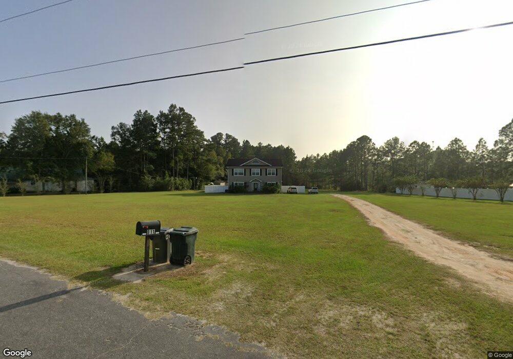
This home is located at 811 Roberson Rd, Odum, GA 31555 and is currently estimated at $336,001, approximately $161 per square foot. 811 Roberson Rd is a home located in Wayne County with nearby schools including Odum Elementary School, Martha Puckett Middle School, and Wayne County High School.
Ownership History
Date
Name
Owned For
Owner Type
Purchase Details
Closed on
Jun 26, 2009
Sold by
Messer Melinda Dawn
Bought by
Blanton Lloyd Carey and Blanton Tonya Marie
Current Estimated Value
Home Financials for this Owner
Home Financials are based on the most recent Mortgage that was taken out on this home.
Original Mortgage
$130,000
Interest Rate
4.88%
Mortgage Type
New Conventional
Purchase Details
Closed on
Sep 1, 2000
Sold by
Strickland Sharon H
Bought by
Messer Melinda Dawn
Purchase Details
Closed on
Jan 1, 1998
Bought by
Strickland Sharon H
Purchase Details
Closed on
Dec 1, 1969
Purchase Details
Closed on
Mar 1, 1965
Create a Home Valuation Report for This Property
The Home Valuation Report is an in-depth analysis detailing your home's value as well as a comparison with similar homes in the area
Purchase History
| Date | Buyer | Sale Price | Title Company |
|---|---|---|---|
| Blanton Lloyd Carey | $30,000 | -- | |
| Messer Melinda Dawn | $16,000 | -- | |
| Strickland Sharon H | $11,000 | -- | |
| -- | -- | -- | |
| -- | -- | -- |
Source: Public Records
Mortgage History
| Date | Status | Borrower | Loan Amount |
|---|---|---|---|
| Closed | Blanton Lloyd Carey | $130,000 |
Source: Public Records
Tax History
| Year | Tax Paid | Tax Assessment Tax Assessment Total Assessment is a certain percentage of the fair market value that is determined by local assessors to be the total taxable value of land and additions on the property. | Land | Improvement |
|---|---|---|---|---|
| 2025 | $3,500 | $118,064 | $6,495 | $111,569 |
| 2024 | $4,008 | $137,405 | $6,495 | $130,910 |
| 2023 | $2,917 | $122,335 | $6,495 | $115,840 |
| 2022 | $3,030 | $101,236 | $6,495 | $94,741 |
| 2021 | $2,739 | $86,236 | $6,495 | $79,741 |
| 2020 | $2,875 | $87,397 | $7,656 | $79,741 |
| 2019 | $2,960 | $87,397 | $7,656 | $79,741 |
| 2018 | $2,960 | $87,397 | $7,656 | $79,741 |
| 2017 | $2,473 | $84,971 | $7,656 | $77,315 |
| 2016 | $2,393 | $84,971 | $7,656 | $77,315 |
| 2014 | $2,212 | $78,720 | $7,656 | $71,063 |
| 2013 | -- | $78,719 | $7,656 | $71,063 |
Source: Public Records
Map
Nearby Homes
- 512 Tillman St
- 1029 S Main St
- TRACT 3 Reddish Rd
- TRACT 5 Reddish Rd
- 10.00 AC Hwy 341 Odum Hwy
- TRACT 2 Tank Rd
- 000 Beards Bluff Rd
- Lot 00 Moss Landing
- Lots 26+ Moss Landing
- Lot 21 Moss Landing
- 2505 Odum Rd S
- 0 Tract 3 Hwy 341 & Bennett Mill Pond Rd Unit 1656129
- 0 Tract 6 Hwy 341 & Bennett Mill Rd Unit 1656128
- Tract 5 Unit Reddish Road
- Tract 3 Unit Reddish Road
- Tract 6 Unit Ingram Road
- 1670 Beaver Dam Rd
- Tract 1 Unit Wheaton Road
- TRACT 1 Wheaton Rd
- Tract 2 Unit Tank Road
Your Personal Tour Guide
Ask me questions while you tour the home.