812 Bestgate Rd Annapolis, MD 21401
Parole NeighborhoodEstimated Value: $503,471 - $638,000
Studio
1
Bath
1,828
Sq Ft
$296/Sq Ft
Est. Value
About This Home
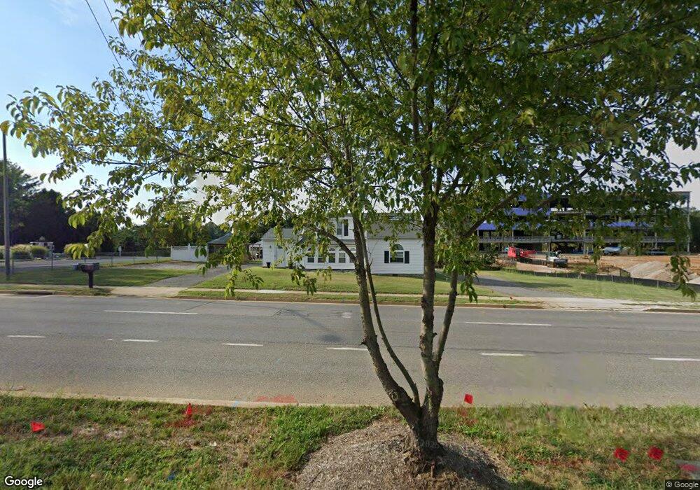
This home is located at 812 Bestgate Rd, Annapolis, MD 21401 and is currently estimated at $540,618, approximately $295 per square foot. 812 Bestgate Rd is a home located in Anne Arundel County with nearby schools including Rolling Knolls Elementary School, Wiley H. Bates Middle School, and Annapolis High School.
Ownership History
Date
Name
Owned For
Owner Type
Purchase Details
Closed on
Apr 3, 2008
Sold by
Pearmon Ann B
Bought by
Neal Patricia L
Current Estimated Value
Purchase Details
Closed on
Jan 9, 2008
Sold by
Pearmon Ann B
Bought by
Neal Patricia L
Purchase Details
Closed on
Jul 23, 1990
Sold by
Hicks Charles E
Bought by
Pearmon Ann B
Home Financials for this Owner
Home Financials are based on the most recent Mortgage that was taken out on this home.
Original Mortgage
$15,500
Interest Rate
9.99%
Create a Home Valuation Report for This Property
The Home Valuation Report is an in-depth analysis detailing your home's value as well as a comparison with similar homes in the area
Home Values in the Area
Average Home Value in this Area
Purchase History
| Date | Buyer | Sale Price | Title Company |
|---|---|---|---|
| Neal Patricia L | -- | -- | |
| Neal Patricia L | -- | -- | |
| Pearmon Ann B | $11,000 | -- |
Source: Public Records
Mortgage History
| Date | Status | Borrower | Loan Amount |
|---|---|---|---|
| Previous Owner | Pearmon Ann B | $15,500 |
Source: Public Records
Tax History
| Year | Tax Paid | Tax Assessment Tax Assessment Total Assessment is a certain percentage of the fair market value that is determined by local assessors to be the total taxable value of land and additions on the property. | Land | Improvement |
|---|---|---|---|---|
| 2025 | $2,519 | $449,900 | $304,100 | $145,800 |
| 2024 | $2,519 | $403,033 | $0 | $0 |
| 2023 | $2,416 | $356,167 | $0 | $0 |
| 2022 | $2,234 | $309,300 | $214,100 | $95,200 |
| 2021 | $1,605 | $299,433 | $0 | $0 |
| 2020 | $2,114 | $289,567 | $0 | $0 |
| 2019 | $2,077 | $279,700 | $174,100 | $105,600 |
| 2018 | $1,605 | $279,700 | $174,100 | $105,600 |
| 2017 | $1,980 | $279,700 | $0 | $0 |
| 2016 | $1,605 | $295,600 | $0 | $0 |
| 2015 | $1,605 | $295,600 | $0 | $0 |
| 2014 | -- | $295,600 | $0 | $0 |
Source: Public Records
Map
Nearby Homes
- 68 Harbour Heights Dr
- 2161 Scotts Crossing Ct Unit 30
- 2159 Scotts Crossing Ct Unit 201
- 12 Harbour Heights Dr
- 629 Admiral Dr Unit U206
- 623 Admiral Dr Unit 304
- 605 Admiral Dr
- 2001 Warners Terrace N Unit 102
- 2150 Hideaway Ct Unit 28
- 2013 Warners Terrace S Unit 138
- 2013 Warners Terrace S Unit 242
- 2002 Phillips Terrace Unit 6
- 20 Washington Dr
- 668 N Bestgate Rd
- 2058 Quaker Way Unit 12
- 2052 Quaker Way Unit 7
- 2015 Gov Thomas Bladen Way Unit 204
- 603 Burtons Cove Way Unit 3
- 2321 Hickory Rd
- 553 Choptank Cove Ct
- 2062 Ashley Dr
- 814 Bestgate Rd
- 2076 Ashley Dr
- 2083 Ashley Dr
- 819 Bestgate Rd
- 811 Bestgate Rd
- 808 Bestgate Rd
- 2043 Gate Dr
- 2078 Ashley Dr
- 821 Bestgate Rd
- 2045 Gate Dr
- 816 Bestgate Rd
- 802 Bestgate Rd
- 805 Bestgate Rd
- 2042 Gate Dr
- 2047 Gate Dr
- 2044 Gate Dr
- 2045 Herndon Dr
- 810 Bestgate Rd
- 1978 Scotts Crossing Way Unit 301
Your Personal Tour Guide
Ask me questions while you tour the home.