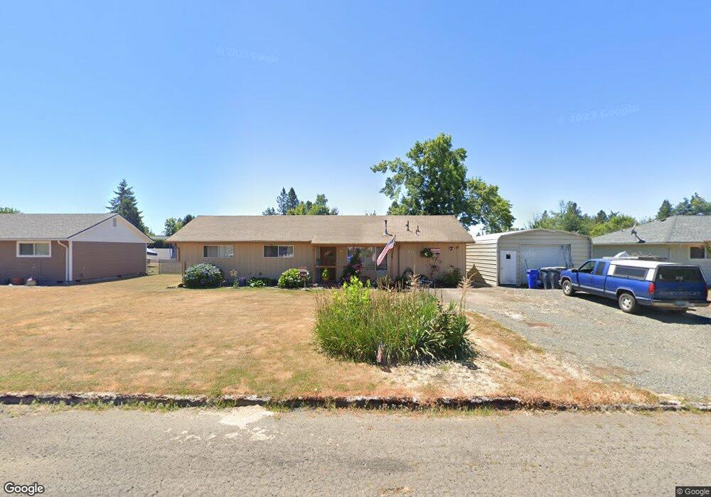
812 E 3rd St Molalla, OR 97038
Estimated Value: $427,671 - $468,000
3
Beds
2
Baths
1,320
Sq Ft
$337/Sq Ft
Est. Value
About This Home
This home is located at 812 E 3rd St, Molalla, OR 97038 and is currently estimated at $445,418, approximately $337 per square foot. 812 E 3rd St is a home located in Clackamas County with nearby schools including Molalla River Academy, Country Christian School, and Oregon Outreach - Molalla Pride.
Ownership History
Date
Name
Owned For
Owner Type
Purchase Details
Closed on
Jan 23, 2004
Sold by
Swerver May
Bought by
Hawkinson Michael L and Hawkinson Stacy A
Current Estimated Value
Home Financials for this Owner
Home Financials are based on the most recent Mortgage that was taken out on this home.
Original Mortgage
$140,640
Outstanding Balance
$78,591
Interest Rate
5.79%
Mortgage Type
USDA
Estimated Equity
$366,827
Purchase Details
Closed on
Sep 27, 1999
Sold by
Quade Lacee and Muffett Lacee L
Bought by
Muffett Lacee L and Muffett Benjamin M
Purchase Details
Closed on
Jun 1, 1985
Bought by
Newport Lynda A
Create a Home Valuation Report for This Property
The Home Valuation Report is an in-depth analysis detailing your home's value as well as a comparison with similar homes in the area
Purchase History
| Date | Buyer | Sale Price | Title Company |
|---|---|---|---|
| Hawkinson Michael L | $133,558 | First American | |
| Muffett Lacee L | -- | Chicago Title Insurance Co | |
| Newport Lynda A | $49,500 | -- |
Source: Public Records
Mortgage History
| Date | Status | Borrower | Loan Amount |
|---|---|---|---|
| Open | Hawkinson Michael L | $140,640 |
Source: Public Records
Tax History
| Year | Tax Paid | Tax Assessment Tax Assessment Total Assessment is a certain percentage of the fair market value that is determined by local assessors to be the total taxable value of land and additions on the property. | Land | Improvement |
|---|---|---|---|---|
| 2025 | $3,423 | $178,672 | -- | -- |
| 2024 | $3,308 | $173,468 | -- | -- |
| 2023 | $3,308 | $168,416 | $0 | $0 |
| 2022 | $2,728 | $163,511 | $0 | $0 |
| 2021 | $2,616 | $158,749 | $0 | $0 |
| 2020 | $2,543 | $154,126 | $0 | $0 |
| 2019 | $2,469 | $149,637 | $0 | $0 |
| 2018 | $2,400 | $145,279 | $0 | $0 |
| 2017 | $2,301 | $141,048 | $0 | $0 |
| 2016 | $2,182 | $136,940 | $0 | $0 |
Source: Public Records
Map
Nearby Homes
- 735 Garden Ct
- 821 E 7th St
- 128 Finneys Ave
- 708 E Heintz St
- 800 Mathias Ct
- 319 Berkley Ave
- 218 Finneys Ave
- 162 Fenton Ave Unit C
- 208 S Swiegle Ave
- 515 May St
- 206 S Molalla Ave
- 121 W Ross St
- 416 Kennel Ave
- 205 W Heintz St Unit 708
- 660 Creamery Creek Ln
- 588 West Ln
- 13595 S Warrick Rd
- 641 Mary Dr
- 704 Toliver Rd
- 13434 S Lowe Rd
Your Personal Tour Guide
Ask me questions while you tour the home.