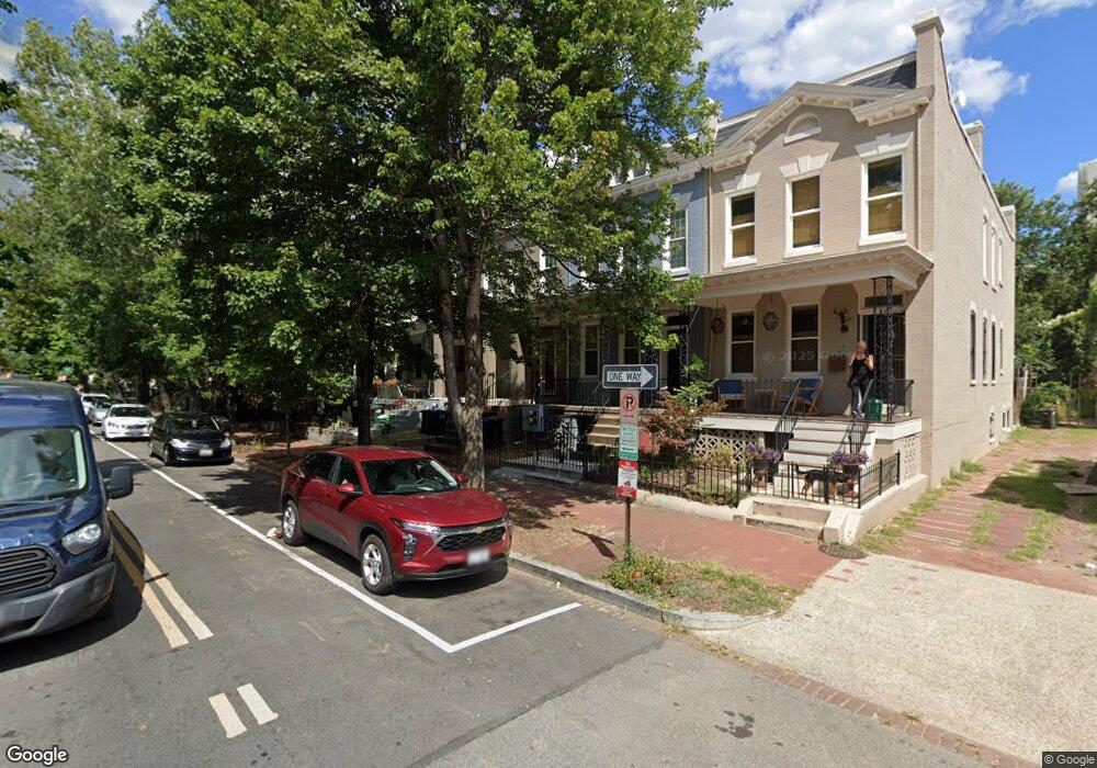
813 10th St NE Unit B Washington, DC 20002
Atlas District NeighborhoodEstimated Value: $930,000 - $1,070,000
1
Bed
1
Bath
700
Sq Ft
$1,428/Sq Ft
Est. Value
About This Home
This home is located at 813 10th St NE Unit B, Washington, DC 20002 and is currently estimated at $999,524, approximately $1,427 per square foot. 813 10th St NE Unit B is a home located in District of Columbia with nearby schools including J.O. Wilson Elementary School, Stuart-Hobson Middle School, and Eastern High School.
Ownership History
Date
Name
Owned For
Owner Type
Purchase Details
Closed on
Nov 23, 2010
Sold by
Shaw Pamela R
Bought by
Doyle Mike B
Current Estimated Value
Home Financials for this Owner
Home Financials are based on the most recent Mortgage that was taken out on this home.
Original Mortgage
$399,606
Outstanding Balance
$264,368
Interest Rate
4.4%
Mortgage Type
FHA
Estimated Equity
$735,156
Create a Home Valuation Report for This Property
The Home Valuation Report is an in-depth analysis detailing your home's value as well as a comparison with similar homes in the area
Home Values in the Area
Average Home Value in this Area
Purchase History
We collect this data history from publicly available records. To have your information removed, we recommend requesting removal directly through your county’s website.
| Date | Buyer | Sale Price | Title Company |
|---|---|---|---|
| Doyle Mike B | $410,000 | -- |
Source: Public Records
Mortgage History
We collect this data history from publicly available records. To have your information removed, we recommend requesting removal directly through your county’s website.
| Date | Status | Borrower | Loan Amount |
|---|---|---|---|
| Open | Doyle Mike B | $399,606 |
Source: Public Records
Tax History
| Year | Tax Paid | Tax Assessment Tax Assessment Total Assessment is a certain percentage of the fair market value that is determined by local assessors to be the total taxable value of land and additions on the property. | Land | Improvement |
|---|---|---|---|---|
| 2025 | $8,788 | $1,033,840 | $567,040 | $466,800 |
| 2024 | $8,821 | $1,037,730 | $564,220 | $473,510 |
| 2023 | $8,477 | $997,350 | $556,140 | $441,210 |
| 2022 | $7,450 | $955,220 | $508,930 | $446,290 |
| 2021 | $6,860 | $920,750 | $503,890 | $416,860 |
| 2020 | $6,242 | $880,500 | $473,020 | $407,480 |
| 2019 | $5,681 | $844,400 | $446,320 | $398,080 |
| 2018 | $5,176 | $796,130 | $0 | $0 |
| 2017 | $4,712 | $766,270 | $0 | $0 |
| 2016 | $4,290 | $698,840 | $0 | $0 |
| 2015 | $3,902 | $605,920 | $0 | $0 |
| 2014 | $3,557 | $545,630 | $0 | $0 |
Source: Public Records
Map
Nearby Homes
- 1010 I St NE
- 822 11th St NE
- 1109 I St NE
- 1111 K St NE Unit 2
- 1004 11th St NE
- 1004 K St NE
- 803 9th St NE
- 903 K St NE
- 1103 Florida Ave NE
- 904 H St NE Unit 1
- 813 12th St NE
- 919 12th St NE Unit 303
- 919 12th St NE Unit 404
- 1205 Wylie St NE
- 1212 I St NE Unit A
- 1212 I St NE Unit B
- 1010 10th St NE
- 1029 Florida Ave NE
- 924 9th St NE
- 1124 Florida Ave NE Unit 305
- 900 11th St NE
- 900 11th St NE Unit 2
- 902 11th St NE
- 904 11th St NE
- 906 11th St NE
- 1024 I St NE
- 1014 I St NE
- 908 11th St NE
- 908 11th St NE Unit B (ENGLISH BASEMENT)
- 908 11th St NE Unit A
- 1012 I St NE
- 834 11th St NE
- 832 11th St NE
- 1008 I St NE
- 830 11th St NE
- 909-911 10th St NE
- 1006 I St NE
- 1015 I St NE
- 1013 I St NE
- 828 11th St NE
Your Personal Tour Guide
Ask me questions while you tour the home.