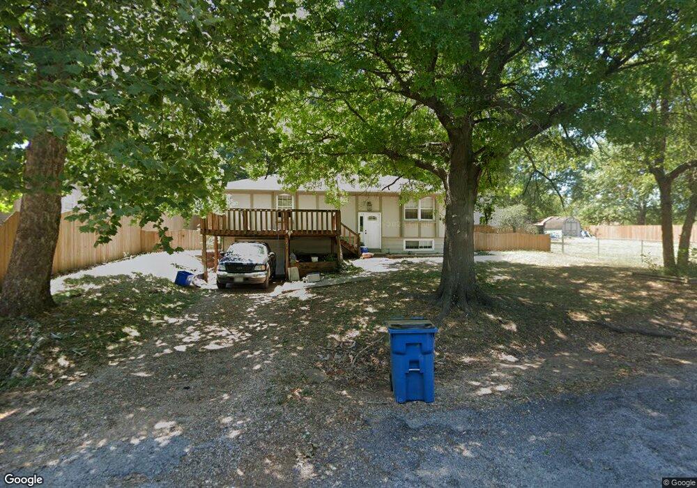
813 N High St Stockton, MO 65785
Estimated Value: $123,000 - $207,000
3
Beds
2
Baths
2,088
Sq Ft
$78/Sq Ft
Est. Value
About This Home
This home is located at 813 N High St, Stockton, MO 65785 and is currently estimated at $163,813, approximately $78 per square foot. 813 N High St is a home located in Cedar County with nearby schools including Stockton Elementary School, Stockton Middle School, and Stockton High School.
Ownership History
Date
Name
Owned For
Owner Type
Purchase Details
Closed on
Apr 18, 2019
Sold by
Pohlsander Jennifer C and Pohlsander Rick E
Bought by
Wood William J and Wood Niki A
Current Estimated Value
Home Financials for this Owner
Home Financials are based on the most recent Mortgage that was taken out on this home.
Original Mortgage
$89,393
Outstanding Balance
$78,432
Interest Rate
4.3%
Mortgage Type
New Conventional
Estimated Equity
$85,381
Purchase Details
Closed on
Nov 21, 2006
Sold by
Hubbard Brian D and Hubbard Jill R
Bought by
Pohlsander Jennifer C and Pohlsander Rick E
Home Financials for this Owner
Home Financials are based on the most recent Mortgage that was taken out on this home.
Original Mortgage
$83,712
Interest Rate
6.37%
Mortgage Type
FHA
Create a Home Valuation Report for This Property
The Home Valuation Report is an in-depth analysis detailing your home's value as well as a comparison with similar homes in the area
Purchase History
| Date | Buyer | Sale Price | Title Company |
|---|---|---|---|
| Wood William J | -- | None Available | |
| Pohlsander Jennifer C | -- | None Available |
Source: Public Records
Mortgage History
| Date | Status | Borrower | Loan Amount |
|---|---|---|---|
| Open | Wood William J | $89,393 | |
| Previous Owner | Pohlsander Jennifer C | $83,712 |
Source: Public Records
Tax History
| Year | Tax Paid | Tax Assessment Tax Assessment Total Assessment is a certain percentage of the fair market value that is determined by local assessors to be the total taxable value of land and additions on the property. | Land | Improvement |
|---|---|---|---|---|
| 2025 | $563 | $13,420 | $1,330 | $12,090 |
| 2024 | $6 | $11,680 | $1,160 | $10,520 |
| 2023 | $567 | $11,670 | $0 | $0 |
| 2022 | $566 | $11,670 | $0 | $0 |
| 2020 | $566 | $11,670 | $0 | $0 |
| 2019 | $552 | $11,670 | $0 | $0 |
| 2018 | $549 | $11,670 | $0 | $0 |
| 2017 | -- | $11,670 | $0 | $0 |
| 2016 | -- | $11,670 | $0 | $0 |
| 2015 | -- | $11,670 | $0 | $0 |
| 2014 | -- | $11,670 | $0 | $0 |
| 2013 | -- | $11,670 | $0 | $0 |
Source: Public Records
Map
Nearby Homes
- 315 Skyline Dr
- 608 N Terrace Ln
- 506 N First St
- 506 1st St
- 14000 E 1730 Rd
- 21772 State Highway 32
- 11615 State Highway 32
- 008 State Highway 32
- 006 State Highway 32
- 007 State Highway 32
- 212 East St
- 101 S High St
- 502 E Highway 32
- 301 S College St
- 303 S Church St
- Lot 12 Ireson Estates
- 0 S Highway J Unit 60321421
- 0 S Highway J Unit HMS2545441
- Tbd S Highway J
- 000 S Highway J
Your Personal Tour Guide
Ask me questions while you tour the home.