8145 Armstrong Rd Port Byron, NY 13140
Estimated Value: $143,000 - $268,000
About This Home
This home is located at 8145 Armstrong Rd, Port Byron, NY 13140 and is currently estimated at $217,993, approximately $115 per square foot. 8145 Armstrong Rd is a home located in Cayuga County with nearby schools including A.A. Gates Elementary School and Port Byron Senior High School.
Ownership History
We collect this data history from publicly available records. To have your information removed, we recommend requesting removal directly through your county’s website.
Purchase Details
Purchase Details
Home Financials for this Owner
Home Financials are based on the most recent Mortgage that was taken out on this home.Home Values in the Area
Average Home Value in this Area
Purchase History
We collect this data history from publicly available records. To have your information removed, we recommend requesting removal directly through your county’s website.
| Date | Buyer | Sale Price | Title Company |
|---|---|---|---|
| -- | None Listed On Document | ||
| -- | None Available |
Mortgage History
We collect this data history from publicly available records. To have your information removed, we recommend requesting removal directly through your county’s website.
| Date | Status | Borrower | Loan Amount |
|---|---|---|---|
| Previous Owner | $147,900 |
Tax History
We collect this data history from publicly available records. To have your information removed, we recommend requesting removal directly through your county’s website.
| Year | Tax Paid | Tax Assessment Tax Assessment Total Assessment is a certain percentage of the fair market value that is determined by local assessors to be the total taxable value of land and additions on the property. | Land | Improvement |
|---|---|---|---|---|
| 2025 | $2,961 | $159,400 | $16,100 | $143,300 |
| 2024 | $4,060 | $159,400 | $16,100 | $143,300 |
| 2023 | $4,117 | $159,400 | $16,100 | $143,300 |
| 2022 | $5,162 | $159,400 | $16,100 | $143,300 |
| 2021 | $5,305 | $159,400 | $16,100 | $143,300 |
| 2020 | $3,174 | $159,400 | $16,100 | $143,300 |
| 2019 | $1,179 | $159,400 | $16,100 | $143,300 |
| 2018 | $3,072 | $159,400 | $16,100 | $143,300 |
| 2017 | $3,106 | $159,400 | $16,100 | $143,300 |
| 2016 | $3,077 | $159,400 | $16,100 | $143,300 |
| 2015 | -- | $127,100 | $16,100 | $111,000 |
| 2014 | -- | $127,100 | $16,100 | $111,000 |
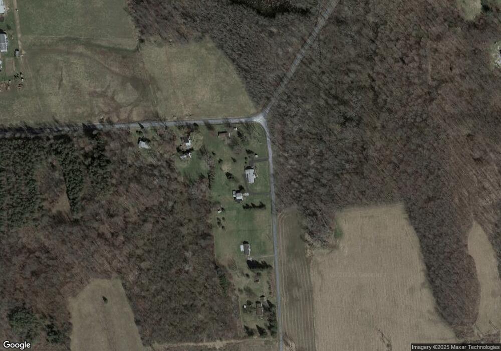
Map
- 26 Rochester St
- 78 Rochester St
- 77 South St
- 0 State Route 31 Unit R1657517
- 8052 Centerport Rd
- 7409 Day Rd
- 8619 Ball Rd
- 7383 Powers Rd
- 7542 Beach Rd
- 7315 Lewis Rd
- 7396 Centerport Rd
- 7278 Sherman Rd
- 7140 N Division Street Rd
- 8580 State Route 34
- 1 Butler Lane Rd
- 2611 Hamilton St
- 8939 Oakland St
- 5 Butler Dr
- 2713 Mechanic St
- 8793 South St
- 1664 Henvy Rd
- 1648 Henvy Rd
- 8123 Armstrong Rd
- 1638 Henvy Rd
- 8107 Armstrong Rd
- 1715 Henvy Rd
- 8187 Halsey Rd
- 8157 Rufus Rd
- 8211 Halsey Rd
- 1747 Henvy Rd
- 8247 Halsey Rd
- 8355 Henvy Rd
- 8240 Halsey Rd
- 8115 Halsey Rd
- 8258 Halsey Rd
- 00 Armstrong Rd
- 000 Armstrong Rd
- 003 Armstrong Rd
- 002 Armstrong Rd
- 001 Armstrong Rd
Ask me questions while you tour the home.