8158 Wake Rd Durham, NC 27713
South Durham NeighborhoodEstimated Value: $121,045 - $485,000
Studio
--
Bath
--
Sq Ft
39,945
Sq Ft Lot
About This Home
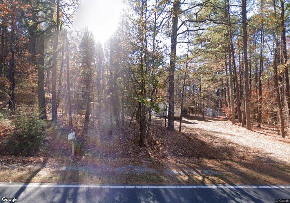
This home is located at 8158 Wake Rd, Durham, NC 27713 and is currently estimated at $303,023. 8158 Wake Rd is a home with nearby schools including North Chatham Elementary School, Margaret B. Pollard Middle School, and Kestrel Heights School.
Ownership History
Date
Name
Owned For
Owner Type
Purchase Details
Closed on
Feb 1, 2016
Sold by
Maynor Kenneth W
Bought by
Blankenship Charles Michael
Current Estimated Value
Home Financials for this Owner
Home Financials are based on the most recent Mortgage that was taken out on this home.
Original Mortgage
$54,000
Outstanding Balance
$43,059
Interest Rate
4.04%
Mortgage Type
Purchase Money Mortgage
Estimated Equity
$259,964
Purchase Details
Closed on
Dec 31, 1996
Bought by
Maynor Kenneth W
Create a Home Valuation Report for This Property
The Home Valuation Report is an in-depth analysis detailing your home's value as well as a comparison with similar homes in the area
Home Values in the Area
Average Home Value in this Area
Purchase History
| Date | Buyer | Sale Price | Title Company |
|---|---|---|---|
| Blankenship Charles Michael | $60,000 | Attorney | |
| Maynor Kenneth W | -- | -- |
Source: Public Records
Mortgage History
| Date | Status | Borrower | Loan Amount |
|---|---|---|---|
| Open | Blankenship Charles Michael | $54,000 |
Source: Public Records
Tax History
| Year | Tax Paid | Tax Assessment Tax Assessment Total Assessment is a certain percentage of the fair market value that is determined by local assessors to be the total taxable value of land and additions on the property. | Land | Improvement |
|---|---|---|---|---|
| 2025 | $1,104 | $132,163 | $130,000 | $2,163 |
| 2024 | $883 | $105,792 | $100,000 | $5,792 |
| 2023 | $1,020 | $105,792 | $100,000 | $5,792 |
| 2022 | $945 | $105,792 | $100,000 | $5,792 |
| 2021 | $0 | $105,792 | $100,000 | $5,792 |
| 2020 | $823 | $72,792 | $72,000 | $792 |
| 2019 | $693 | $72,792 | $72,000 | $792 |
| 2018 | $777 | $72,792 | $72,000 | $792 |
| 2017 | $737 | $72,792 | $72,000 | $792 |
| 2016 | $542 | $61,068 | $60,000 | $1,068 |
| 2015 | $541 | $61,068 | $60,000 | $1,068 |
| 2014 | -- | $61,068 | $60,000 | $1,068 |
| 2013 | -- | $61,068 | $60,000 | $1,068 |
Source: Public Records
Map
Nearby Homes
- 2005 Lambert Rd Unit 56
- 2007 Lambert Rd Unit 57
- 2009 Lambert Rd Unit 58
- 2011 Lambert Rd Unit 59
- 2013 Lambert Rd Unit 60
- 266 Perfect Moment Dr
- 483 Rosemont Dr
- 1510 Haventree Rd
- 8 Silverwood Ct
- 149 Perfect Moment Dr
- 1056 Mountain Vista Ln
- 508 Mountain Sunset Ln
- 469 Panorama View Loop
- 816 Clausun Dr
- 4 Green Springs Ct
- 105 Costin Ct
- 1010 Queensbury Cir
- 108 Pittard Sears Rd
- 408 Panorama View Loop
- 105 Barrett Place
Your Personal Tour Guide
Ask me questions while you tour the home.