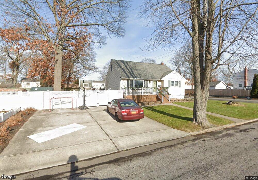
817 Densfield Rd West Babylon, NY 11704
Estimated Value: $569,001 - $687,000
About This Home
This home is located at 817 Densfield Rd, West Babylon, NY 11704 and is currently estimated at $648,000, approximately $420 per square foot. 817 Densfield Rd is a home located in Suffolk County with nearby schools including West Babylon Senior High School.
Ownership History
We collect this data history from publicly available records. To have your information removed, we recommend requesting removal directly through your county’s website.
Purchase Details
Home Financials for this Owner
Home Financials are based on the most recent Mortgage that was taken out on this home.Purchase Details
Home Financials for this Owner
Home Financials are based on the most recent Mortgage that was taken out on this home.Purchase Details
Home Financials for this Owner
Home Financials are based on the most recent Mortgage that was taken out on this home.Home Values in the Area
Average Home Value in this Area
Purchase History
We collect this data history from publicly available records. To have your information removed, we recommend requesting removal directly through your county’s website.
| Date | Buyer | Sale Price | Title Company |
|---|---|---|---|
| -- | None Available | ||
| -- | -- | ||
| -- | -- |
Mortgage History
We collect this data history from publicly available records. To have your information removed, we recommend requesting removal directly through your county’s website.
| Date | Status | Borrower | Loan Amount |
|---|---|---|---|
| Previous Owner | $340,659 | ||
| Previous Owner | $317,737 | ||
| Previous Owner | $90,990 |
Tax History
We collect this data history from publicly available records. To have your information removed, we recommend requesting removal directly through your county’s website.
| Year | Tax Paid | Tax Assessment Tax Assessment Total Assessment is a certain percentage of the fair market value that is determined by local assessors to be the total taxable value of land and additions on the property. | Land | Improvement |
|---|---|---|---|---|
| 2024 | $9,344 | $3,040 | $330 | $2,710 |
| 2023 | $9,344 | $3,040 | $330 | $2,710 |
| 2022 | $7,512 | $3,040 | $330 | $2,710 |
| 2021 | $7,512 | $3,040 | $330 | $2,710 |
| 2020 | $8,084 | $3,040 | $330 | $2,710 |
| 2019 | $8,084 | $3,040 | $330 | $2,710 |
| 2018 | $7,460 | $3,040 | $330 | $2,710 |
| 2017 | $7,460 | $3,040 | $330 | $2,710 |
| 2016 | $7,408 | $3,040 | $330 | $2,710 |
| 2015 | -- | $3,040 | $330 | $2,710 |
| 2014 | -- | $3,040 | $330 | $2,710 |
Map
- 852 Densfield Rd
- 851 Elmwood Rd
- 827 Bermuda Rd
- 825 Weber Ave
- 718 Elmwood Rd
- 317 Centre Ave
- 715 Albin Ave
- 395 N Putnam Ave
- 323 Grand Ave
- 475 N Putnam Ave
- 551 Grand Ave
- 238 Centre Ave
- 34 Karen St
- 581 Grand Ave
- 11 Karen St
- 32 Della Dr
- 610 Bermuda Rd
- 417 N Monroe Ave
- 27 Old Farmingdale Rd
- 166 & 170 Woodrow Pkwy
- 823 Densfield Rd
- 814 Elmwood Rd
- 822 Elmwood Rd
- 805 Densfield Rd
- 60 Avenue C
- 822 Densfield Rd
- 831 Densfield Rd
- 830 Elmwood Rd
- 75 Avenue C
- 828 Densfield Rd
- 804 Densfield Rd
- 799 Densfield Rd
- 839 Densfield Rd
- 838 Elmwood Rd
- 815 Elmwood Rd
- 813 Carlton Rd
- 836 Densfield Rd
- 823 Elmwood Rd
- 800 Densfield Rd
- 825 Carlton Rd
Ask me questions while you tour the home.