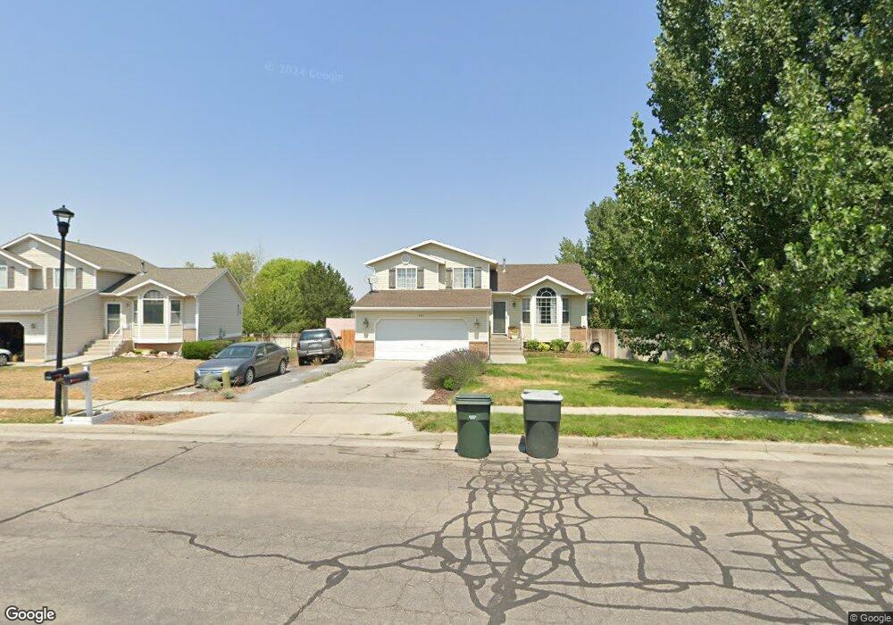
817 Left Hand Fork Dr Tooele, UT 84074
Estimated Value: $414,681 - $444,000
About This Home
This home is located at 817 Left Hand Fork Dr, Tooele, UT 84074 and is currently estimated at $425,170, approximately $240 per square foot. 817 Left Hand Fork Dr is a home located in Tooele County with nearby schools including Middle Canyon Elementary School, Tooele Junior High School, and Tooele High School.
Ownership History
We collect this data history from publicly available records. To have your information removed, we recommend requesting removal directly through your county’s website.
Purchase Details
Home Financials for this Owner
Home Financials are based on the most recent Mortgage that was taken out on this home.Purchase History
We collect this data history from publicly available records. To have your information removed, we recommend requesting removal directly through your county’s website.
| Date | Buyer | Sale Price | Title Company |
|---|---|---|---|
| -- | -- |
Mortgage History
We collect this data history from publicly available records. To have your information removed, we recommend requesting removal directly through your county’s website.
| Date | Status | Borrower | Loan Amount |
|---|---|---|---|
| Open | $177,676 | ||
| Closed | -- |
Tax History
We collect this data history from publicly available records. To have your information removed, we recommend requesting removal directly through your county’s website.
| Year | Tax Paid | Tax Assessment Tax Assessment Total Assessment is a certain percentage of the fair market value that is determined by local assessors to be the total taxable value of land and additions on the property. | Land | Improvement |
|---|---|---|---|---|
| 2025 | $2,625 | $398,036 | $103,750 | $294,286 |
| 2024 | $2,784 | $212,539 | $57,063 | $155,476 |
| 2023 | $2,784 | $206,313 | $54,342 | $151,971 |
| 2022 | $2,432 | $209,211 | $54,227 | $154,984 |
| 2021 | $1,958 | $140,910 | $21,691 | $119,219 |
| 2020 | $1,880 | $234,718 | $39,438 | $195,280 |
| 2019 | $1,767 | $216,965 | $39,438 | $177,527 |
| 2018 | $1,636 | $190,447 | $40,000 | $150,447 |
| 2017 | $1,365 | $188,555 | $30,000 | $158,555 |
| 2016 | $1,121 | $92,331 | $16,500 | $75,831 |
| 2015 | $1,121 | $81,547 | $0 | $0 |
| 2014 | -- | $81,547 | $0 | $0 |
Map
- 743 N 690 E
- 224 E 850 N Unit A
- 877 N Fox Run Dr E
- 683 E Kings Landing
- 792 E 540 N
- 609 Seagull Dr
- 603 Valley View Dr
- 759 E 980 N
- 847 Uintah Ave
- 894 N 1380 E
- 401 Lakeview Ave
- 469 N 1360 E
- 347 Antelope Ave
- 616 W 1300 N Unit 213
- 442 Lindy Way
- 180 1000 N
- 832 Cedarview Cir
- 1172 650 E Unit 301
- 1172 650 E Unit 302
- 261 E 670 N Unit 220
- 782 E 740 N
- 794 E 740 N
- 822 Left Hand Fork Dr
- 805 Left Hand Fork Dr
- 808 Left Hand Fork Dr
- 717 White Pine Dr
- 794 Middle Canyon Ct
- 727 White Pine Dr
- 832 Left Hand Fork Dr
- 791 E 740 N
- 789 Left Hand Fork Dr
- 782 Middle Canyon Ct
- 737 White Pine Dr
- 842 Left Hand Fork Dr
- 788 Left Hand Fork Dr
- 853 Left Hand Fork Dr
- 722 Fox Run Dr
- 779 Left Hand Fork Dr
- 797 Middle Canyon Ct
- 720 Fox Run Dr
Ask me questions while you tour the home.