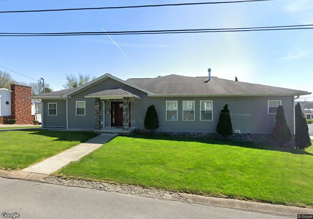
819 Fenwick Ave Morgantown, WV 26505
Suncrest NeighborhoodEstimated Value: $389,000 - $476,000
4
Beds
2
Baths
2,692
Sq Ft
$160/Sq Ft
Est. Value
About This Home
This home is located at 819 Fenwick Ave, Morgantown, WV 26505 and is currently estimated at $429,776, approximately $159 per square foot. 819 Fenwick Ave is a home located in Monongalia County with nearby schools including Suncrest Elementary School, Suncrest Middle School, and Morgantown High School.
Ownership History
Date
Name
Owned For
Owner Type
Purchase Details
Closed on
Aug 18, 2006
Sold by
Cook Jaclyn P
Bought by
Cook Ii Ralph E and Cook Jaclyn P
Current Estimated Value
Home Financials for this Owner
Home Financials are based on the most recent Mortgage that was taken out on this home.
Original Mortgage
$60,000
Interest Rate
6.88%
Mortgage Type
New Conventional
Create a Home Valuation Report for This Property
The Home Valuation Report is an in-depth analysis detailing your home's value as well as a comparison with similar homes in the area
Home Values in the Area
Average Home Value in this Area
Purchase History
| Date | Buyer | Sale Price | Title Company |
|---|---|---|---|
| Cook Ii Ralph E | -- | None Available |
Source: Public Records
Mortgage History
| Date | Status | Borrower | Loan Amount |
|---|---|---|---|
| Closed | Cook Ii Ralph E | $60,000 |
Source: Public Records
Tax History
| Year | Tax Paid | Tax Assessment Tax Assessment Total Assessment is a certain percentage of the fair market value that is determined by local assessors to be the total taxable value of land and additions on the property. | Land | Improvement |
|---|---|---|---|---|
| 2025 | $2,329 | $176,640 | $38,460 | $138,180 |
| 2024 | $2,329 | $176,640 | $38,460 | $138,180 |
| 2023 | $2,324 | $176,640 | $38,460 | $138,180 |
| 2022 | $2,236 | $175,380 | $38,460 | $136,920 |
| 2021 | $2,245 | $175,380 | $38,460 | $136,920 |
| 2020 | $2,253 | $175,380 | $38,460 | $136,920 |
| 2019 | $2,266 | $175,380 | $38,460 | $136,920 |
| 2018 | $2,272 | $175,380 | $38,460 | $136,920 |
| 2017 | $1,995 | $153,420 | $36,300 | $117,120 |
| 2016 | $1,971 | $150,780 | $33,660 | $117,120 |
| 2015 | $1,901 | $150,780 | $33,660 | $117,120 |
| 2014 | $1,723 | $141,900 | $33,660 | $108,240 |
Source: Public Records
Map
Nearby Homes
- 481 Meridan St
- 148 Amalfi Way
- 3356 Collins Ferry Rd
- 472 Kiwanis Ave
- 521 Kensington Ave
- 3445 Collins Ferry Rd
- 457 Rotary St
- 1360-1362 Bitonti St
- 459 Congress Ave
- 1362 Bitonti St
- 484 Lawnview Dr
- 1341 Cain St
- 1296 Jacobs Dr
- 563 Killarney Dr
- 1348 Anderson Ave
- 381 Laurel St
- 34 Salthouse Ln
- 1224 Eastern Ave
- 379 Laurel St
- 644 Lashley St
- 815 Fenwick Ave
- 516 Plymouth Ave
- 1325 Fenwick Ave
- 532 Plymouth Ave
- 517 Harvard Ave
- 540 Plymouth Ave
- 1328 Fenwick Ave
- 811 Fenwick Ave
- 541 Harvard Ave
- 1333 Fenwick Ave
- 536 Harvard Ave
- 515 Harvard Ave
- 809 Fenwick Ave
- 545 Plymouth Ave
- 1316 Fairfield St
- 512 Princeton Ave
- 1300 Fairfield St
- 545 Harvard Ave
- 548 Plymouth Ave
- 532 Princeton Ave
Your Personal Tour Guide
Ask me questions while you tour the home.