82 Johnson Rd Limerick, ME 04048
Estimated Value: $189,000 - $355,000
Studio
--
Bath
600
Sq Ft
$436/Sq Ft
Est. Value
About This Home
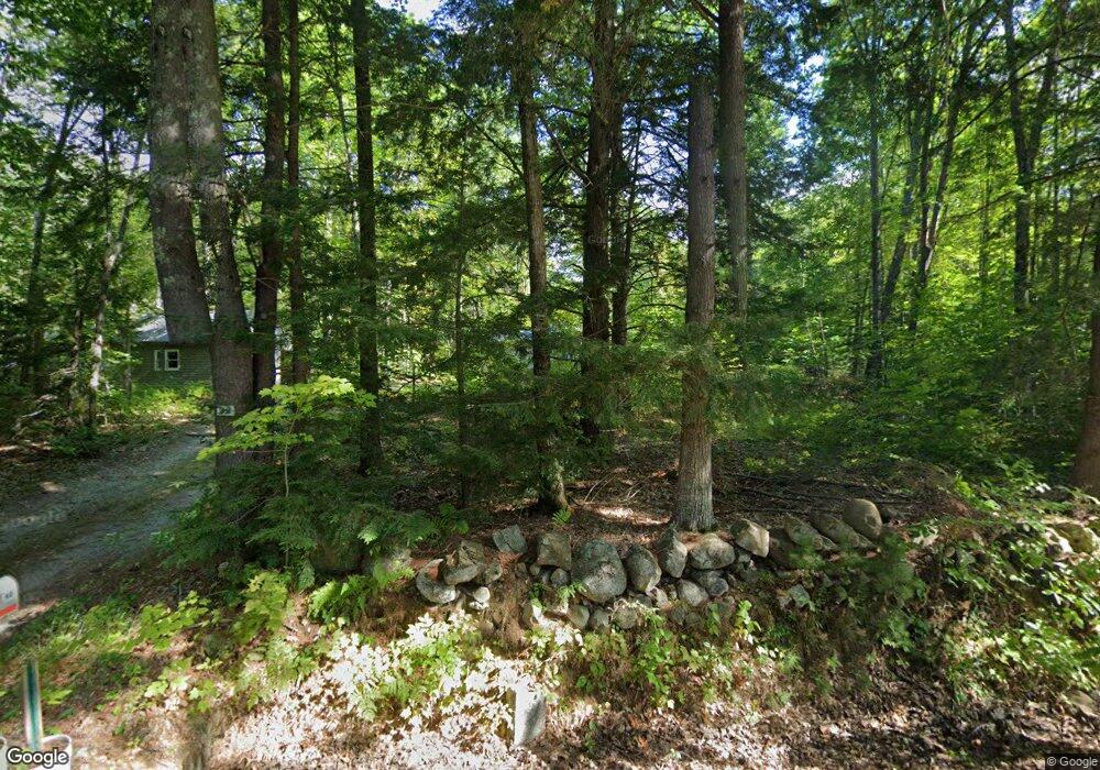
This home is located at 82 Johnson Rd, Limerick, ME 04048 and is currently estimated at $261,518, approximately $435 per square foot. 82 Johnson Rd is a home with nearby schools including Massabesic High School.
Ownership History
Date
Name
Owned For
Owner Type
Purchase Details
Closed on
Oct 8, 2014
Sold by
Temple Brian H
Bought by
Parker Bonnie L
Current Estimated Value
Home Financials for this Owner
Home Financials are based on the most recent Mortgage that was taken out on this home.
Original Mortgage
$40,000
Interest Rate
4.1%
Mortgage Type
Commercial
Create a Home Valuation Report for This Property
The Home Valuation Report is an in-depth analysis detailing your home's value as well as a comparison with similar homes in the area
Home Values in the Area
Average Home Value in this Area
Purchase History
We collect this data history from publicly available records. To have your information removed, we recommend requesting removal directly through your county’s website.
| Date | Buyer | Sale Price | Title Company |
|---|---|---|---|
| Parker Bonnie L | -- | -- |
Source: Public Records
Mortgage History
We collect this data history from publicly available records. To have your information removed, we recommend requesting removal directly through your county’s website.
| Date | Status | Borrower | Loan Amount |
|---|---|---|---|
| Closed | Parker Bonnie L | $40,000 |
Source: Public Records
Tax History
| Year | Tax Paid | Tax Assessment Tax Assessment Total Assessment is a certain percentage of the fair market value that is determined by local assessors to be the total taxable value of land and additions on the property. | Land | Improvement |
|---|---|---|---|---|
| 2025 | $1,917 | $201,790 | $91,004 | $110,786 |
| 2024 | $1,917 | $201,790 | $91,004 | $110,786 |
| 2023 | $1,649 | $108,508 | $46,350 | $62,158 |
| 2022 | $1,541 | $108,508 | $46,350 | $62,158 |
| 2021 | $1,441 | $86,806 | $37,080 | $49,726 |
| 2020 | $1,424 | $86,806 | $37,080 | $49,726 |
| 2019 | $1,367 | $86,806 | $37,080 | $49,726 |
| 2018 | $1,402 | $86,806 | $37,080 | $49,726 |
| 2017 | $2,730 | $86,806 | $37,080 | $49,726 |
| 2016 | $2,701 | $86,806 | $37,080 | $49,726 |
| 2015 | $1,249 | $85,549 | $37,080 | $48,469 |
| 2014 | $1,211 | $85,549 | $37,080 | $48,469 |
Source: Public Records
Map
Nearby Homes
- 0 Stone Hill Rd
- 337 Elm St
- 12 Home Field Dr
- Lot 6J Range East Rd
- 154 Staples Rd
- 545 Foss Rd
- 725 Water St
- 420 Foss Rd
- 15 Waldron Dr
- 85 Cramm Rd
- Lot A Bridge St
- 25-2 Mowry Ln
- 007-B Parsonsfield Rd Unit Map-018 Lot-007
- 148 Washington St Unit A
- 0 Quarry Rd
- 8 Emery Corner Rd
- 192 South Rd
- 28 Hillview Ave
- 128 Silver Lake Rd
- 27 Lynn Dr
Your Personal Tour Guide
Ask me questions while you tour the home.