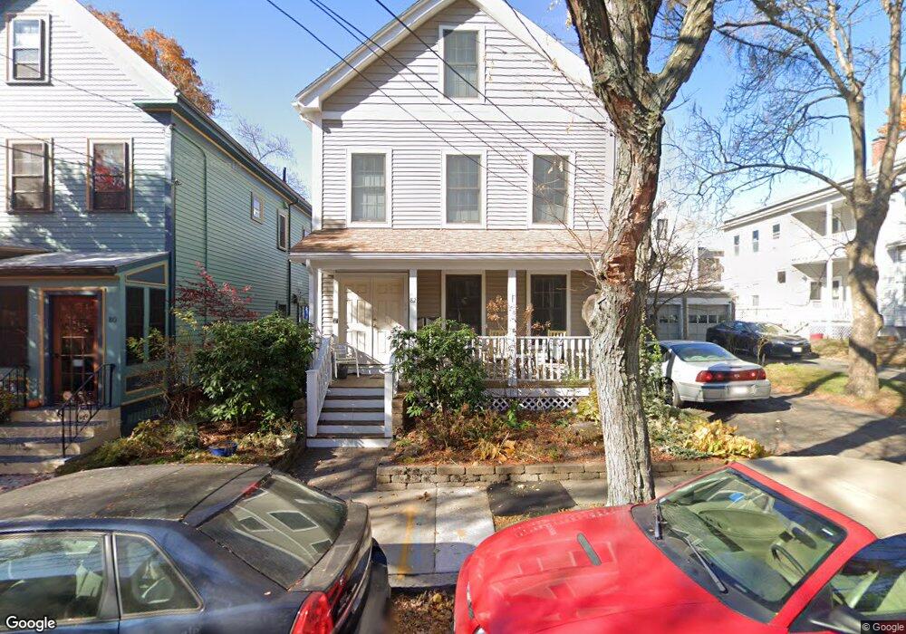
82 Wallace St Unit 1 Somerville, MA 02144
Davis Square NeighborhoodEstimated Value: $771,830 - $849,000
About This Home
This home is located at 82 Wallace St Unit 1, Somerville, MA 02144 and is currently estimated at $804,708, approximately $821 per square foot. 82 Wallace St Unit 1 is a home located in Middlesex County with nearby schools including Somerville High School, St. Clement Elementary School, and International School of Boston.
Ownership History
We collect this data history from publicly available records. To have your information removed, we recommend requesting removal directly through your county’s website.
Purchase Details
Home Financials for this Owner
Home Financials are based on the most recent Mortgage that was taken out on this home.Home Values in the Area
Average Home Value in this Area
Purchase History
We collect this data history from publicly available records. To have your information removed, we recommend requesting removal directly through your county’s website.
| Date | Buyer | Sale Price | Title Company |
|---|---|---|---|
| $432,500 | -- |
Mortgage History
We collect this data history from publicly available records. To have your information removed, we recommend requesting removal directly through your county’s website.
| Date | Status | Borrower | Loan Amount |
|---|---|---|---|
| Open | $220,500 |
Tax History
We collect this data history from publicly available records. To have your information removed, we recommend requesting removal directly through your county’s website.
| Year | Tax Paid | Tax Assessment Tax Assessment Total Assessment is a certain percentage of the fair market value that is determined by local assessors to be the total taxable value of land and additions on the property. | Land | Improvement |
|---|---|---|---|---|
| 2025 | $7,316 | $670,600 | $0 | $670,600 |
| 2024 | $6,751 | $641,700 | $0 | $641,700 |
| 2023 | $6,551 | $633,600 | $0 | $633,600 |
| 2022 | $6,263 | $615,200 | $0 | $615,200 |
| 2021 | $6,139 | $602,500 | $0 | $602,500 |
| 2020 | $5,950 | $589,700 | $0 | $589,700 |
| 2019 | $5,749 | $534,300 | $0 | $534,300 |
| 2018 | $6,184 | $546,800 | $0 | $546,800 |
| 2017 | $5,849 | $501,200 | $0 | $501,200 |
| 2016 | $5,141 | $410,300 | $0 | $410,300 |
| 2015 | $5,035 | $399,300 | $0 | $399,300 |
Map
- 83 Wallace St
- 1004 Broadway Unit 1
- 1004 Broadway Unit 3
- 5-7 Whitman St
- 5-7 Whitman St Unit 1
- 5 Kenwood St Unit 3
- 5 Kenwood St Unit 2
- 39 Whitman St
- 9 Kidder Ave Unit 2
- 17 Powder House Terrace Unit 17
- 75 Electric Ave Unit 2
- 58 Elmwood St Unit 58
- 1 Tannery Brook Row Unit 1F
- 3 Tannery Brook Row Unit 8
- 11 Tannery Brook Row Unit 3
- 37 Kingston St Unit B
- 6 Campbell Park
- 33 Newbury St Unit 1
- 30 Clarendon Ave
- 52 Pearson Rd
Ask me questions while you tour the home.