8204 Mcclure Rd Upper Marlboro, MD 20772
Croom NeighborhoodEstimated Value: $549,000 - $973,000
About This Home
This home is located at 8204 Mcclure Rd, Upper Marlboro, MD 20772 and is currently estimated at $735,817, approximately $437 per square foot. 8204 Mcclure Rd is a home located in Prince George's County with nearby schools including Mattaponi Elementary School, Gwynn Park Middle School, and Frederick Douglass High School.
Ownership History
We collect this data history from publicly available records. To have your information removed, we recommend requesting removal directly through your county’s website.
Purchase Details
Purchase Details
Home Values in the Area
Average Home Value in this Area
Purchase History
We collect this data history from publicly available records. To have your information removed, we recommend requesting removal directly through your county’s website.
| Date | Buyer | Sale Price | Title Company |
|---|---|---|---|
| $442,500 | -- | ||
| $352,000 | -- |
Tax History
We collect this data history from publicly available records. To have your information removed, we recommend requesting removal directly through your county’s website.
| Year | Tax Paid | Tax Assessment Tax Assessment Total Assessment is a certain percentage of the fair market value that is determined by local assessors to be the total taxable value of land and additions on the property. | Land | Improvement |
|---|---|---|---|---|
| 2025 | $5,769 | $596,600 | $249,200 | $347,400 |
| 2024 | $5,769 | $557,700 | ||
| 2023 | $5,769 | $518,800 | $0 | $0 |
| 2022 | $5,336 | $479,900 | $255,200 | $224,700 |
| 2021 | $0 | $467,633 | $0 | $0 |
| 2020 | $0 | $455,367 | $0 | $0 |
| 2019 | $6,345 | $443,100 | $255,200 | $187,900 |
| 2018 | $0 | $427,300 | $0 | $0 |
| 2017 | $5,288 | $411,500 | $0 | $0 |
| 2016 | -- | $395,700 | $0 | $0 |
| 2015 | -- | $394,467 | $0 | $0 |
| 2014 | -- | $393,233 | $0 | $0 |
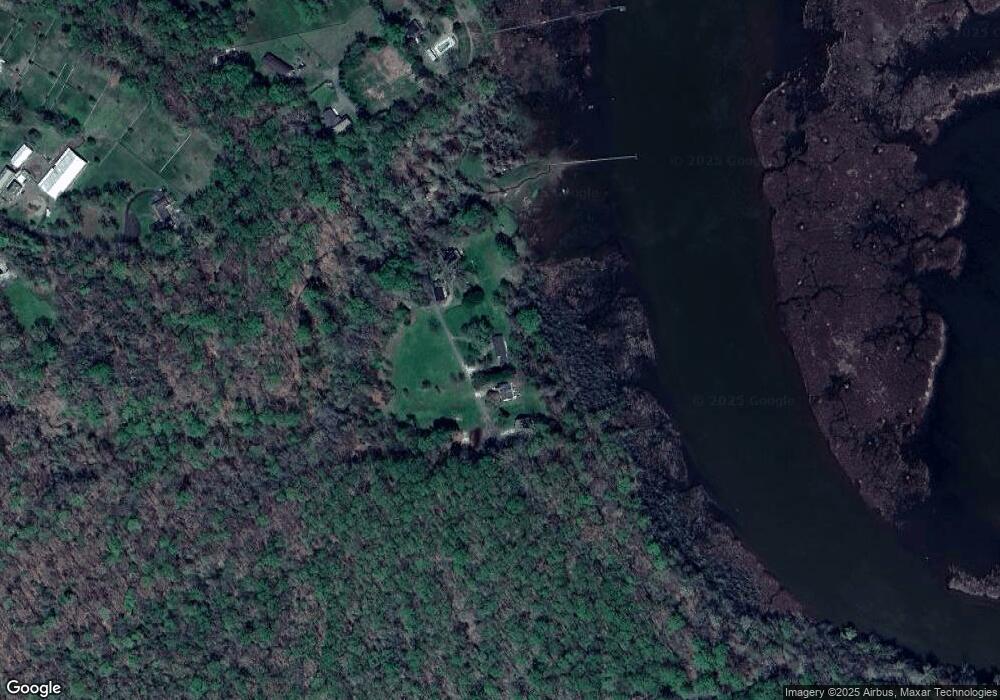
Map
- 15000 Mount Calvert Rd
- 15201 Grey Fox Rd
- 9220 Croom Acres Terrace
- 0 Croom Airport Rd Unit MDPG2148084
- 6380 Mallard Ln
- 8404 Hollow Tree Ln
- 1174 Wrighton Rd
- 8610 Croom Rd
- 6602 Green Branch Ln
- 12124 Palisades Dr
- 9124 Croom Rd
- 6000 Maude Savoy Brown Rd
- 6201 Curtis Rd
- 16301 Saint Thomas Church Rd
- 34 2nd St
- 206 5th St
- 12029 Palisades Dr
- 12033 Steven Ln
- 65 Cob Ct
- 249 Jaguar Dr
- 8208 Mcclure Rd
- 8210 Mcclure Rd
- 8110 Mcclure Rd
- 8400 Mcclure Rd
- 8009 Mcclure Rd
- 8008 Mcclure Rd
- 8001 Mcclure Rd
- 16411 Mount Calvert Rd
- 7915 Mcclure Rd
- 7908 Mcclure Rd
- 16307 Mount Calvert Rd
- 7900 Mcclure Rd
- 16501 Mount Calvert Rd
- 16401 Mount Calvert Rd
- 16351 Mount Calvert Rd
- 16701 Mount Calvert Rd
- 16701 Mt Calvert
- 16300 Mount Calvert Rd
- 16414 Mount Calvert Rd
- 16400 Mount Calvert Rd
Ask me questions while you tour the home.