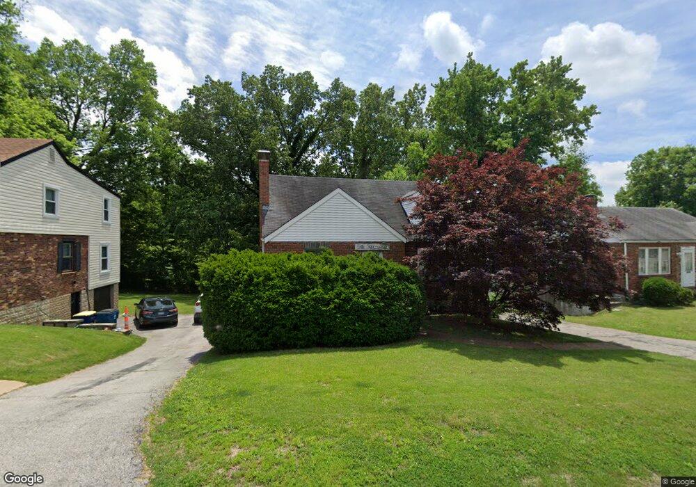
822 Margo Ave Saint Louis, MO 63135
Estimated Value: $101,000 - $127,000
3
Beds
2
Baths
1,281
Sq Ft
$90/Sq Ft
Est. Value
About This Home
This home is located at 822 Margo Ave, Saint Louis, MO 63135 and is currently estimated at $114,800, approximately $89 per square foot. 822 Margo Ave is a home located in St. Louis County with nearby schools including Central Elementary School, Ferguson Middle School, and McCluer High School.
Ownership History
Date
Name
Owned For
Owner Type
Purchase Details
Closed on
Jul 17, 1997
Sold by
Kaiser Robert P and Kaiser Lucille M
Bought by
Bryant Susan D
Current Estimated Value
Home Financials for this Owner
Home Financials are based on the most recent Mortgage that was taken out on this home.
Original Mortgage
$52,900
Outstanding Balance
$7,749
Interest Rate
7.75%
Estimated Equity
$107,051
Create a Home Valuation Report for This Property
The Home Valuation Report is an in-depth analysis detailing your home's value as well as a comparison with similar homes in the area
Home Values in the Area
Average Home Value in this Area
Purchase History
We collect this data history from publicly available records. To have your information removed, we recommend requesting removal directly through your county’s website.
| Date | Buyer | Sale Price | Title Company |
|---|---|---|---|
| Bryant Susan D | -- | -- |
Source: Public Records
Mortgage History
We collect this data history from publicly available records. To have your information removed, we recommend requesting removal directly through your county’s website.
| Date | Status | Borrower | Loan Amount |
|---|---|---|---|
| Open | Bryant Susan D | $52,900 | |
| Closed | Bryant Susan D | $2,000 |
Source: Public Records
Tax History
| Year | Tax Paid | Tax Assessment Tax Assessment Total Assessment is a certain percentage of the fair market value that is determined by local assessors to be the total taxable value of land and additions on the property. | Land | Improvement |
|---|---|---|---|---|
| 2025 | $1,066 | $18,670 | $1,060 | $17,610 |
| 2024 | $1,066 | $14,560 | $1,430 | $13,130 |
| 2023 | $1,060 | $14,560 | $1,430 | $13,130 |
| 2022 | $908 | $10,830 | $1,060 | $9,770 |
| 2021 | $880 | $10,830 | $1,060 | $9,770 |
| 2020 | $939 | $10,410 | $1,080 | $9,330 |
| 2019 | $921 | $10,410 | $1,080 | $9,330 |
| 2018 | $742 | $7,430 | $1,120 | $6,310 |
| 2017 | $728 | $7,430 | $1,120 | $6,310 |
| 2016 | $870 | $8,790 | $1,460 | $7,330 |
| 2015 | $875 | $8,790 | $1,460 | $7,330 |
| 2014 | $1,127 | $11,270 | $1,410 | $9,860 |
Source: Public Records
Map
Nearby Homes
- 129 N Dade Ave
- 106 Henquin Dr
- 138 N Marguerite Ave
- 15 N Harvey Ave
- 222 Henquin Dr
- 605 Abston Ave
- 218 N Marguerite Ave
- 22 N Harvey Ave
- 308 Henquin Dr
- 6232 Witsell Ave
- 6005 Shillington Dr
- 6135 Shillington Dr
- 324 Henquin Dr
- 321 Henquin Dr
- 411 Warford Ave
- 415 Warford Ave
- 415 Wesley Ave
- 8115 Myrick St
- 437 Warfield Ave
- 220 S Marguerite Ave
Your Personal Tour Guide
Ask me questions while you tour the home.