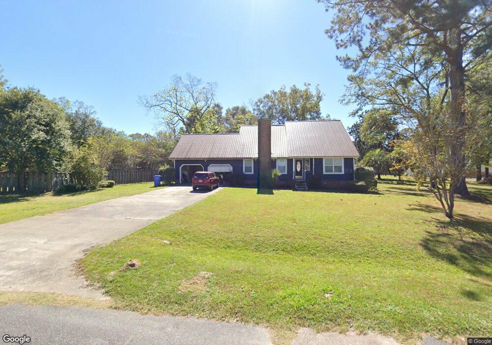
822 Varnview Dr Waycross, GA 31501
Estimated Value: $214,000 - $251,000
Studio
2
Baths
2,062
Sq Ft
$114/Sq Ft
Est. Value
About This Home
This home is located at 822 Varnview Dr, Waycross, GA 31501 and is currently estimated at $235,945, approximately $114 per square foot. 822 Varnview Dr is a home located in Ware County with nearby schools including Center Elementary School, Waycross Middle School, and Ware County High School.
Ownership History
Date
Name
Owned For
Owner Type
Purchase Details
Closed on
Dec 27, 2019
Sold by
1 Sherwood Drive Llc
Bought by
Dent Andrew Keith and Dent Dorsey Fred
Current Estimated Value
Home Financials for this Owner
Home Financials are based on the most recent Mortgage that was taken out on this home.
Original Mortgage
$168,800
Interest Rate
3.6%
Mortgage Type
New Conventional
Purchase Details
Closed on
Sep 5, 2018
Sold by
Williams Margaret
Bought by
1 Sherwood Drive Llc
Purchase Details
Closed on
Jun 24, 2002
Sold by
Brady Margaret A and Brady Daniel
Bought by
Brady Margaret A
Purchase Details
Closed on
Mar 22, 1988
Create a Home Valuation Report for This Property
The Home Valuation Report is an in-depth analysis detailing your home's value as well as a comparison with similar homes in the area
Purchase History
| Date | Buyer | Sale Price | Title Company |
|---|---|---|---|
| Dent Andrew Keith | $193,800 | -- | |
| 1 Sherwood Drive Llc | $33,000 | -- | |
| Brady Margaret A | -- | -- | |
| -- | -- | -- |
Source: Public Records
Mortgage History
| Date | Status | Borrower | Loan Amount |
|---|---|---|---|
| Closed | Dent Andrew Keith | $168,800 |
Source: Public Records
Tax History
| Year | Tax Paid | Tax Assessment Tax Assessment Total Assessment is a certain percentage of the fair market value that is determined by local assessors to be the total taxable value of land and additions on the property. | Land | Improvement |
|---|---|---|---|---|
| 2025 | $2,754 | $109,143 | $2,820 | $106,323 |
| 2024 | $2,754 | $96,163 | $2,820 | $93,343 |
| 2023 | $2,475 | $94,775 | $1,800 | $92,975 |
| 2022 | $2,737 | $94,775 | $1,800 | $92,975 |
| 2021 | $2,321 | $74,008 | $1,800 | $72,208 |
| 2020 | $2,125 | $67,014 | $1,800 | $65,214 |
| 2019 | $427 | $27,168 | $1,800 | $25,368 |
| 2018 | $1,525 | $46,738 | $1,800 | $44,938 |
| 2017 | $1,524 | $46,738 | $1,800 | $44,938 |
| 2016 | $1,524 | $46,738 | $1,800 | $44,938 |
| 2015 | $1,538 | $46,738 | $1,800 | $44,938 |
| 2014 | $1,536 | $46,739 | $1,800 | $44,938 |
| 2013 | -- | $46,738 | $1,800 | $44,938 |
Source: Public Records
Map
Nearby Homes
- 2784 Autumn Ridge Ln
- 2218 Riverside Ave
- 2109 Neal St
- 904 Golfview Dr
- 606 Poplar St
- 702 E Waring St
- 2312 Spurgeon St
- 607 Linden Dr
- 601 Community Dr
- 1301 Riverside Ave
- 2120 Tebeau St
- 371 Cherokee Ave
- 0 Ash Dr
- 404 Community Dr
- 1500 Clough St
- 3101 Ash Dr
- 2202 Pioneer St
- 0000 Lejune Rd
- 0 Plantation Pines Dr
- 240 E Blackshear Ave
Your Personal Tour Guide
Ask me questions while you tour the home.