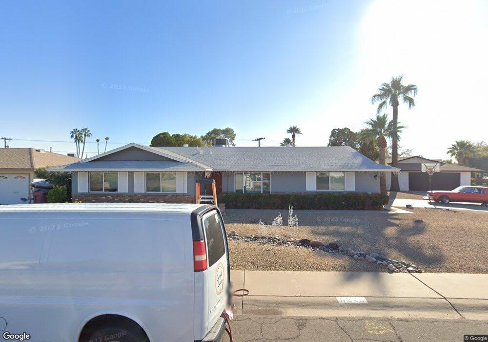
8223 E Angus Dr Scottsdale, AZ 85251
South Scottsdale NeighborhoodEstimated Value: $652,000 - $804,000
Studio
2
Baths
2,029
Sq Ft
$361/Sq Ft
Est. Value
About This Home
This home is located at 8223 E Angus Dr, Scottsdale, AZ 85251 and is currently estimated at $733,108, approximately $361 per square foot. 8223 E Angus Dr is a home located in Maricopa County with nearby schools including Pima Elementary School, Tonalea Middle School, and Coronado High School.
Ownership History
Date
Name
Owned For
Owner Type
Purchase Details
Closed on
Aug 28, 2020
Sold by
Robert Deacon and The Deacon Family Trust
Bought by
Deacon Todd R and Rutherford Deacon M
Current Estimated Value
Home Financials for this Owner
Home Financials are based on the most recent Mortgage that was taken out on this home.
Original Mortgage
$356,250
Outstanding Balance
$313,878
Interest Rate
3%
Mortgage Type
New Conventional
Estimated Equity
$419,230
Purchase Details
Closed on
Apr 20, 1999
Sold by
Deacon Harry J and Deacon Evelyn M
Bought by
Deacon Harry J and Deacon Evelyn M
Create a Home Valuation Report for This Property
The Home Valuation Report is an in-depth analysis detailing your home's value as well as a comparison with similar homes in the area
Home Values in the Area
Average Home Value in this Area
Purchase History
| Date | Buyer | Sale Price | Title Company |
|---|---|---|---|
| Deacon Todd R | $375,000 | Thomas Title And Escrow | |
| Deacon Harry J | -- | -- |
Source: Public Records
Mortgage History
| Date | Status | Borrower | Loan Amount |
|---|---|---|---|
| Open | Deacon Todd R | $356,250 |
Source: Public Records
Tax History
| Year | Tax Paid | Tax Assessment Tax Assessment Total Assessment is a certain percentage of the fair market value that is determined by local assessors to be the total taxable value of land and additions on the property. | Land | Improvement |
|---|---|---|---|---|
| 2025 | $1,982 | $33,018 | -- | -- |
| 2024 | $1,859 | $31,446 | -- | -- |
| 2023 | $1,859 | $57,660 | $11,530 | $46,130 |
| 2022 | $1,769 | $43,170 | $8,630 | $34,540 |
| 2021 | $1,917 | $38,900 | $7,780 | $31,120 |
| 2020 | $1,900 | $38,330 | $7,660 | $30,670 |
| 2019 | $1,844 | $33,900 | $6,780 | $27,120 |
| 2018 | $1,801 | $31,820 | $6,360 | $25,460 |
| 2017 | $1,701 | $29,200 | $5,840 | $23,360 |
| 2016 | $1,668 | $26,930 | $5,380 | $21,550 |
| 2015 | $1,602 | $27,100 | $5,420 | $21,680 |
Source: Public Records
Map
Nearby Homes
- 3401 N 83rd St
- 3135 N 81st St
- 8117 E Osborn Rd
- 3110 N 81st Place
- 8219 E Whitton Ave
- 8350 E Pinchot Ave
- 3526 N 83rd St
- 3005 N 81st Place
- 8349 E Columbus Ave
- 8335 E Weldon Ave
- 2941 N Granite Reef Rd
- 8307 E Clarendon Ave
- 3407 N 85th St
- 2901 N 81st Place
- 8340 E Thomas Rd
- 3520 N 85th St
- 8020 E Thomas Rd Unit 314
- 8020 E Thomas Rd Unit 112
- 8020 E Thomas Rd Unit 318
- 8020 E Thomas Rd Unit 329
- 3231 N 82nd Place
- 8235 E Angus Dr
- 8302 E Monterey Way
- 8230 E Angus Dr
- 8222 E Angus Dr
- 3225 N 82nd Place
- 8241 E Angus Dr
- 8308 E Monterey Way
- 3214 N 83rd St
- 8238 E Angus Dr
- 3226 N 82nd Place
- 3232 N 82nd Place
- 8616 E Monterey Way
- 3302 N 82nd Place
- 3219 N 82nd Place
- 8247 E Angus Dr
- 3208 N 83rd St
- 8225 E Mulberry St
- 8219 E Mulberry St
- 8322 E Monterey Way
Your Personal Tour Guide
Ask me questions while you tour the home.